


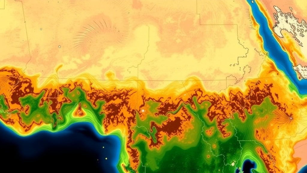
Across the arid expanses of the Horn of Africa, grasslands sustain tens of millions of pastoralists and agro-pastoralists, anchor some of the world’s largest livestock economies, and buffer one of the planet’s most drought-prone regions against environmental shock. Yet precisely how much of this vast rangeland estate is degrading, where the damage is concentrated, and what forces are driving it has remained stubbornly uncertain. A new study published in Regional Environmental Change by Dagnachew Sisay Chaka of Hawassa University and the Chinese Academy of Sciences and Yunfeng Hu of the State Key Laboratory of Resources and Environmental Information System now offers the most detailed regional accounting to date, and its findings are sobering: roughly 30 percent of the region’s grasslands show declining vegetation condition, and 10.5 percent are classified as severely degraded.
The research team confronted a fundamental methodological problem that has plagued dryland monitoring for decades. Most regional assessments rely either on tracking the sheer extent of land classified as grassland, or on a single vegetation indicator such as the Normalized Difference Vegetation Index, the workhorse greenness measure of satellite ecology. Both approaches have blind spots. Land cover extent can remain nominally unchanged while the vegetation within those persistent grasslands quietly deteriorates in productivity, phenology, and functional health. Conversely, any single index captures only one facet of vegetation condition, and different indices can disagree, sometimes dramatically, about whether a landscape is improving or declining. A grassland can appear healthy in greenness terms while its productivity or photosynthetic efficiency is slipping, or vice versa.
To close these gaps, Chaka and Hu fused six complementary vegetation-condition indicators for the March to May growing season, the critical window when the region’s long rains determine forage availability for the year ahead. The indicators were combined using an agreement-based fusion approach, which weights the evidence from multiple sensors and metrics rather than trusting any one of them, and the resulting time series from 2001 to 2022 was analyzed with nonparametric trend methods that make no assumptions about the statistical distribution of the data. Extent dynamics were assessed separately using two independent land cover datasets, the European Space Agency’s Climate Change Initiative Land Cover product and the Global Pasture Watch, providing a cross-check on where grasslands, including herbaceous, woody, and shrubland types, were expanding, contracting, or persisting.
The extent results reveal a region under genuine spatial pressure. Shrublands experienced the largest net shrinkage of any grassland type, losing 7.83 million hectares over the study period. Herbaceous grasslands, the classic open grass ecosystems that dominate pastoral grazing systems, declined by more than 4 million hectares net, even though this loss occurred alongside concurrent expansion elsewhere in the region. Woody grasslands showed comparatively limited net shrinkage. These gross and net changes matter because the Horn of Africa’s grasslands are not a monolith; they span the southern Sahel margin, the Ethiopian highlands’ fringes, the Somali rangelands, and the acacia-dotted savannas of Kenya, each with distinct ecological dynamics and distinct vulnerabilities to drought, cultivation, and overgrazing.
Perhaps the study’s most striking contribution is its demonstration that extent and condition are partly decoupled. Within grasslands that persisted throughout the entire 22-year record, vegetation condition changed in highly heterogeneous ways. Shrublands showed the strongest responses of any type, with 51 million hectares improving and 21 million hectares degrading, a signal of how dynamic and sensitive these ecosystems are. Herbaceous grasslands displayed intermediate responses, while woody grasslands proved relatively stable. In other words, a satellite map that simply marks a pixel as
shows no change, it may conceal either a landscape in vigorous ecological recovery or one sliding slowly toward degradation. Condition and extent must be read together, and the study’s fusion framework makes that joint reading possible at a scale and resolution previously unavailable for this region.
The geography of change is far from uniform. Improvements in vegetation condition clustered along the southern Sahel margin, a belt where decadal rainfall recovery and shifting land use have elsewhere been associated with greening trends in semi-arid Africa. Degradation hotspots, by contrast, concentrated in Somalia, Kenya, and eastern Ethiopia, precisely the areas that bore the brunt of the devastating multi-year drought of 2020 to 2023, when five consecutive failed rainy seasons displaced millions of people and killed untold numbers of livestock. The overlap between the study’s degradation map and the epicenters of recent humanitarian crisis is not coincidental. It underscores that vegetation condition is not an abstract ecological variable but a direct proxy for forage availability, herd survival, and ultimately food security in pastoral economies where livestock constitute both livelihood and savings.
Attribution analysis using partial-correlation techniques revealed that the drivers of change are layered rather than singular. Vegetation-condition improvement was mainly linked to combined climate and non-climatic factors, which accounted for 50.8 percent of improving areas, suggesting that favorable rainfall trends interacted with land management, mobility patterns, or reduced grazing pressure to produce recovery. Degradation told a different story: 43.18 percent of declining areas were associated primarily with climate-related factors, while another 40.68 percent reflected combined climate and non-climatic influences. The residual shares in both categories point to purely anthropogenic or purely climatic drivers operating alone, but the dominance of combined categories is the more important message. In a region where drought recurrence is intensifying and human populations are growing rapidly, climate stress and human pressure rarely act in isolation; they compound one another, often amplifying each other’s effects beyond what either would produce independently.
The choice of the March to May growing season deserves emphasis. This window corresponds to the long rains, known regionally as the Gu season in Somalia and much of Kenya, which historically deliver the majority of annual precipitation to much of the Horn. Recent research has documented that the region’s long rains have shifted toward shorter, more erratic delivery, and that the Indian Ocean Dipole and other sea-surface temperature patterns strongly modulate year-to-year variability. Evaluating vegetation condition specifically during this season therefore captures the period when forage deficits translate most directly into livestock losses. An index computed over the full year would dilute this signal; one computed during the critical window reveals it clearly. The multi-indicator approach likewise guards against the known pitfalls of relying solely on greenness measures, which can saturate over dense vegetation and respond ambiguously to woody encroachment, a phenomenon particularly relevant given the strong responses recorded in shrubland systems.
The use of two independent land cover products for extent assessment reflects a broader maturation in satellite-based land monitoring. The ESA CCI-LC archive provides a consistent multi-decadal record of land cover at global scale, while the Global Pasture Watch offers a more recent, dedicated mapping of grasslands and pastures tailored to livestock systems. Discrepancies between such products are well documented, arising from differences in sensor resolution, classification schemes, and definitions of what constitutes grassland versus shrubland or sparse woodland. By treating both datasets as complementary evidence rather than choosing one, the study follows best practice in a field where definitional ambiguity, including longstanding FAO deliberations over harmonizing forest-related and grassland-related definitions, has historically hampered regional comparisons. The substantial gross changes recorded in herbaceous grasslands, where losses occurred alongside concurrent gains, illustrate why reporting both gross and net change matters: net figures alone can mask extensive churn within a landscape.
For dryland management in the Horn of Africa, the implications are concrete. Because roughly a third of persistent grasslands changed condition in some direction, blanket policies are unlikely to succeed. Degradation hotspots in Somalia, Kenya, and eastern Ethiopia align with areas of high stocking density, recurrent conflict, and constrained pastoral mobility, suggesting that interventions supporting flexible grazing access, early destocking during drought warnings, and restoration of key forage resources could yield disproportionate benefits. Meanwhile, the improving belt along the southern Sahel margin offers a natural experiment worth studying: understanding why vegetation there recovered, whether through rainfall trends, changed land use, or both, could inform replication elsewhere. The finding that shrublands are both shrinking in extent and responding most dynamically in condition adds urgency to debates over bush encroachment and shrub clearing, practices with competing consequences for carbon storage, hydrology, and grazing access.
The study also contributes methodologically to global grassland science. Degradation is notoriously difficult to define and detect because it is gradual, spatially variable, and contested among stakeholders. Fusion-based condition assessment, paired with explicit extent tracking and driver attribution, offers a template applicable to other dryland regions, from the Sahel proper to Central Asian steppe, where similar decoupling between land cover extent and vegetation health has been suspected but rarely quantified. As climate change continues to intensify drought severity across the world’s semi-arid belt, such integrated monitoring will become essential for distinguishing ecosystems that are resilient from those approaching thresholds of irreversible change, and for targeting scarce restoration and adaptation resources where they can do the most good.
Subject of Research: Grassland degradation, vegetation condition trends, and their climatic and non-climatic drivers in the Horn of Africa from 2001 to 2022
Article Title: Grassland degradation and its drivers in the Horn of Africa: insights from multi-index vegetation fusion and grassland cover dynamics
Article References: Chaka, D. S., & Hu, Y. (2026). Grassland degradation and its drivers in the Horn of Africa: insights from multi-index vegetation fusion and grassland cover dynamics. Regional Environmental Change, 26(4), Article 196. https://doi.org/10.1007/s10113-026-02687-8
Image Credits: AI Generated
DOI: 10.1007/s10113-026-02687-8
Keywords: grassland degradation, Horn of Africa, remote sensing, vegetation condition, drought, rangeland management, shrublands, driver attribution, land cover change, drylands, pastoralism, satellite monitoring
Cite Scienmag News
Sloane Callahan. (September 20, 2026). Satellites Reveal Hidden Grassland Collapse Across the Horn of Africa. Scienmag. https://scienmag.com/satellites-reveal-hidden-grassland-collapse-across-the-horn-of-africa/
Sloane Callahan. "Satellites Reveal Hidden Grassland Collapse Across the Horn of Africa." Scienmag, 20 September 2026, https://scienmag.com/satellites-reveal-hidden-grassland-collapse-across-the-horn-of-africa/. Accessed 20 September 2026.
Sloane Callahan. "Satellites Reveal Hidden Grassland Collapse Across the Horn of Africa." Scienmag. September 20, 2026. https://scienmag.com/satellites-reveal-hidden-grassland-collapse-across-the-horn-of-africa/


