


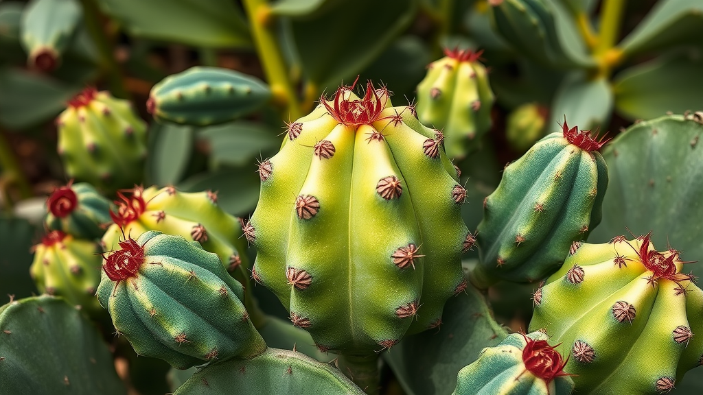
Deep in Brazil’s Caatinga, the world’s most biodiverse semi-arid biome, a slow-growing cactus with a crown of pink bristles is quietly running out of places to live. Melocactus pachyacanthus, a cactus found nowhere else on Earth, clings to flat rocky outcrops in the state of Bahia, surviving on the barest scraps of water thanks to its crassulacean acid metabolism, a photosynthetic adaptation that allows it to open its pores only at night and lose almost no moisture to the scorching daytime air. That remarkable physiology has served it well for millennia. According to a new study published in Discover Ecology, however, it may not be enough to save the species from the combined pressures of climate change, agricultural expansion and fire, which together are dismantling its habitat at a pace that rivals even the most pessimistic climate projections.
The research, led by Flávia dos Santos Bomfim, Luisa Maria Diele-Viegas and colleagues at the Federal University of Bahia and partner institutions, set out to quantify how three global change drivers interact to shape the future of this critically endangered cactus. The species is officially listed as Critically Endangered in Brazil and as Vulnerable on the IUCN Red List, and its known range is tightly constrained to three ecoregions of the Caatinga: the Southern Sertaneja Depression, the Chapada Diamantina Complex and the São Francisco Dunes. Because M. pachyacanthus is a narrow endemic, confirmed occurrence records are scarce; only 33 records were available from biodiversity databases, and after filtering for spatial errors and duplicates, just 18 high-quality points remained for modeling. For most ecological niche modeling approaches, that number would be crippling. The team turned instead to a framework designed precisely for data-poor species.
The method, known as Ensembles of Small Models, or ESMs, sidesteps the overfitting problems that plague conventional species distribution models when sample sizes are tiny. Rather than fitting one complex model with many predictors at once, the approach builds a suite of simple bivariate models, each pairing the species’ occurrences with just one or two environmental variables, and then combines them into a weighted consensus. The researchers implemented this framework in the R environment using the flexsdm package, drawing on four algorithms: generalized linear models, generalized additive models, maximum entropy, and support vector machines. Each algorithm was run through ten replications of repeated three-fold cross-validation, with a 1:1 prevalence ratio of pseudo-absences for most algorithms and a large background sample for maximum entropy. A sensitivity analysis confirmed that both sampling strategies produced virtually identical spatial projections, with a Pearson correlation of roughly 0.91 between the two sets of outputs.
Environmental predictors were drawn from the WorldClim v2.1 database at a resolution of approximately five by five kilometers. The team deliberately excluded four bioclimatic variables, BIO8, BIO9, BIO18 and BIO19, because these combined temperature-precipitation metrics are known to generate mathematical artifacts and unrealistic spatial discontinuities in northeastern Brazil. After screening for collinearity with a Pearson correlation threshold of 0.7, four ecologically meaningful variables survived: temperature seasonality, mean temperature of the warmest quarter, annual precipitation, and precipitation seasonality. Together these capture the dimensions of water availability and thermal stress that govern life in a seasonally dry tropical forest. Model performance was rigorously assessed with four complementary metrics: the area under the receiver operating characteristic curve, the true skill statistic, the Sørensen similarity index, and the continuous Boyce index. Cross-validated AUC values for the individual algorithms ranged from 0.81 to 0.83, comfortably above the 0.75 threshold the team set for retaining high-performing replicates, and the final weighted consensus achieved an in-sample AUC of 0.93.
The baseline map of current suitability tells a clear story. The model predicted roughly 133,327 square kilometers of climatically suitable habitat across the three ecoregions, with the overwhelming majority, about 109,066 square kilometers, concentrated in the Southern Sertaneja Depression. The Chapada Diamantina Complex held smaller pockets of suitability, while the São Francisco Dunes, where the species has never been confirmed, showed only about 580 square kilometers of marginal habitat. This concentration aligns with what field biologists know about the cactus: populations in the Southern Sertaneja Depression, where conditions best match the species’ physiological requirements, are likely the ones with the greatest long-term persistence. Populations in the Chapada Diamantina, which sits at lower macroclimatic suitability, may owe their survival to localized microclimates created by the region’s rugged topography, conditions that coarse-resolution climate layers cannot fully resolve.
It is the future projections that should alarm conservationists. Under the intermediate emissions scenario, SSP2-4.5, the model projects a 51.26 percent loss of suitable habitat by mid-century. Under the high-emissions scenario, SSP5-8.5, the loss climbs to 69.50 percent. The ecoregional breakdown is even more sobering. In the Southern Sertaneja Depression, the species’ stronghold, suitability contracts by 53.49 percent under the intermediate scenario and 72.13 percent under the high-emission one. The Chapada Diamantina Complex loses 40.06 percent and 57.27 percent respectively, while the São Francisco Dunes all but vanishes from the map, shedding 87.58 percent of its suitable area under the intermediate scenario. A multivariate environmental similarity analysis confirmed that novel, non-analog climates remain largely confined to peripheral transition zones, while inter-model variance across three CMIP6 global circulation models showed high consensus in the core range, meaning the projected collapse is not an artifact of disagreement among climate models.
Yet the study’s most striking finding concerns the present, not the future. When the team overlaid their suitability maps with land-use and land-cover data from the MapBiomas project and with cumulative fire records spanning 1985 to 2022, they discovered that human landscape transformation has already erased a comparable share of habitat. Anthropogenic land-use conversion overlapped with 40.48 percent of the species’ suitable area as early as 1995, rising to 43.20 percent by 2022. Cumulative fire, by contrast, affected a smaller but growing fraction, from 2.84 percent in 1995 to 5.70 percent in 2022. Combined, the two disturbances had removed 44.57 percent of potential habitat by 2022, a figure approaching the 51.26 percent loss that the intermediate climate scenario projects for 2050. In other words, nearly three decades of deforestation, ranching and burning have already inflicted damage on a scale that climatologists expect from a quarter century more of global warming.
The regional patterns vary in instructive ways. The Southern Sertaneja Depression, with its vast extent and long history of conversion to cattle pasture and agriculture, suffered the largest absolute habitat losses, reaching 46.70 percent combined loss in 2022. The São Francisco Dunes, an environmentally marginal region for the cactus with only a small baseline of suitable habitat, showed the highest relative vulnerability, including a pronounced spike in 2015 when land-use overlap reached 58.72 percent before a modest apparent recovery by 2022. The researchers caution that this recovery likely reflects localized agricultural abandonment and secondary succession of Caatinga vegetation rather than genuine ecological restoration, and that minor fluctuations in land-use classification can translate into large percentage shifts in a region where the species occupies so little ground to begin with. Fire, while less extensive, degrades soil nutrition and vegetation structure in ways that compound the stress on a slow-growing species whose seedlings are acutely sensitive to rising temperatures and habitat degradation.
The implications reach well beyond a single cactus. Cacti as a family are increasingly recognized as one of the world’s most threatened plant lineages, with nearly a third of evaluated species already listed as threatened and most projected to lose range under ongoing climate and land-use change. The fate of M. pachyacanthus offers a template for how those pressures converge on range-restricted endemics in dryland ecosystems worldwide. The authors argue that the ESM framework, by extracting reliable predictions from sparse data, provides a robust tool for identifying priority conservation areas even for the rarest species. Their concrete recommendations follow directly from the maps: restoring degraded areas that remain climatically suitable, and establishing strictly protected areas of integral protection within core refugia where suitability decline is consistently predicted across all climate models. Because projections of novel climate and high uncertainty are confined to peripheral zones, planners can act with confidence in the core of the species’ range.
The study also acknowledges its limits. Eighteen occurrence records, however carefully curated, cannot capture the full complexity of biotic interactions, from the hummingbirds and lizards that pollinate and disperse the cactus to the specialist ecological networks that sustain it. Fine-scale microclimatic refugia in the Chapada Diamantina’s deep valleys may harbor populations that the five-kilometer climate grid smooths away. Still, the authors emphasize that waiting for perfect data is a luxury that critically endangered species cannot afford, and that even preliminary predictive models can guide urgent surveys and protection. For Melocactus pachyacanthus, the message of the modeling is unambiguous: the window for proactive land-use policy is closing, and the choices Brazil makes about its semi-arid landscapes in the coming decade will determine whether this spiny sentinel of the Caatinga persists or becomes another casualty of a rapidly changing world.
Subject of Research: Climate and land-use change impacts on the endangered Caatinga endemic cactus Melocactus pachyacanthus
Article Title: Predicting the future of the Caatinga endemic Melocactus pachyacanthus under climate and anthropogenic landscape changes
Article References: Santos Bomfim, F. D., Diele-Viegas, L. M., Almeida, T. S., Zaballa, B. B., dos Santos, M. A., Andrade, H., & Melo Gomes, F. (2026). Predicting the future of the Caatinga endemic Melocactus pachyacanthus under climate and anthropogenic landscape changes. Discover Ecology, 2(1), Article 25. https://doi.org/10.1007/s44396-026-00042-z
Image Credits: AI Generated
DOI: 10.1007/s44396-026-00042-z
Keywords: Melocactus pachyacanthus, Caatinga, climate change, cactus conservation, ecological niche modeling, Ensembles of Small Models, land use change, fire, Bahia, endemic species, biodiversity, habitat loss
Cite Scienmag News
Sloane Callahan. (September 20, 2026). Brazil’s Iconic Melon Cactus Faces a Future Squeezed by Farms, Fire and a Warming Climate. Scienmag. https://scienmag.com/brazils-iconic-melon-cactus-faces-a-future-squeezed-by-farms-fire-and-a-warming-climate/
Sloane Callahan. "Brazil’s Iconic Melon Cactus Faces a Future Squeezed by Farms, Fire and a Warming Climate." Scienmag, 20 September 2026, https://scienmag.com/brazils-iconic-melon-cactus-faces-a-future-squeezed-by-farms-fire-and-a-warming-climate/. Accessed 20 September 2026.
Sloane Callahan. "Brazil’s Iconic Melon Cactus Faces a Future Squeezed by Farms, Fire and a Warming Climate." Scienmag. September 20, 2026. https://scienmag.com/brazils-iconic-melon-cactus-faces-a-future-squeezed-by-farms-fire-and-a-warming-climate/


