


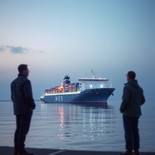
Maritime shipping moves roughly 90 percent of global trade, but the vessels that sustain the world economy also release pollutants into some of the planet’s most densely populated coastal regions. Exhaust from marine engines can contain nitrogen oxides, sulfur oxides, particulate matter, and carbon dioxide, creating a public-health challenge that is especially severe around major ports. Now, researchers at Pusan National University in South Korea have developed an artificial-intelligence framework designed to make ship navigation itself part of the pollution-control strategy. Instead of treating every voyage as a fixed journey governed mainly by fuel use or travel time, the system continuously considers weather, wind, atmospheric transport, and the location of nearby communities to determine where and when a vessel should move.
The approach addresses a problem that has often been overlooked in maritime emissions policy: the amount of pollution released is only part of the risk. The same exhaust plume can have dramatically different consequences depending on wind direction, atmospheric stability, air-flow patterns, and the timing of a ship’s passage. Under certain conditions, pollutants may disperse rapidly over open water. Under others, they can be carried directly toward residential neighborhoods, schools, hospitals, or other sensitive areas near a port. Conventional measures such as blanket speed restrictions and cleaner fuels can reduce overall emissions, but they do not necessarily prevent short-lived pollution peaks in places where people are exposed. The new framework attempts to reduce those peaks by changing the vessel’s route and speed in response to real-time environmental conditions.
The research team, led by Assistant Professor Dowon Kim with PhD student Seongbeom Park and Professor Jinhyeok Yun, describes the concept as “temporal navigation.” The idea is to treat time as an additional navigational dimension. A ship may follow one route under current conditions, then slow down, accelerate, or shift course when atmospheric conditions change. Rather than applying the same speed reduction throughout an entire voyage, the system identifies meteorological windows during which a vessel can travel with less risk of carrying pollutants toward populated areas. This creates a more flexible alternative to regulations that reduce speed uniformly, potentially lowering exposure without imposing unnecessary delays or fuel penalties.
At the center of the system is a physics-informed deep learning model that reconstructs high-resolution environmental flow fields from limited sensor observations. Ports and coastal waters rarely contain enough monitoring stations to directly measure every relevant air-flow pattern in real time. The framework therefore combines sparse environmental data with the governing principles of fluid dynamics. By embedding physical relationships into the learning process, the model can estimate atmospheric or near-surface flow structures in areas where direct measurements are unavailable. This is important because a navigation decision based on an incomplete or overly coarse weather map could easily miss the narrow transport pathways that carry exhaust toward a particular community.
The researchers use a deep operator network to accelerate this reconstruction process. Unlike a conventional machine-learning model that produces a prediction for a single fixed input, a neural operator is designed to learn relationships between entire functions, such as a changing wind field and the resulting distribution of pollutants. In practical terms, the model can rapidly translate new sensor measurements and weather conditions into an updated representation of local airflow. That information is then used to predict how emissions from a moving ship will disperse over time. The physics-informed design helps constrain the predictions so that they remain consistent with known transport behavior, while the neural architecture provides the speed needed for near-real-time decision-making.
The navigation problem is then formulated as a multi-objective optimization task. The system must balance several competing goals, including fuel consumption, travel time, total emissions, and the peak concentration of pollutants reaching coastal populations. These objectives do not always point in the same direction. A route that minimizes fuel use may pass through conditions that carry exhaust toward land, while a route that minimizes exposure may require additional distance or energy. To search for an effective compromise, the researchers apply multi-objective Bayesian optimization. This method uses previous simulations and evaluations to identify promising combinations of routes and speed profiles, reducing the need to test every possible navigation plan. The output is not simply the shortest or cheapest route, but a set of operational choices representing different trade-offs between efficiency and public-health protection.
The team evaluated the framework in multiple navigation scenarios, including simulations based on the area surrounding Busan Port. According to the reported results, the AI-driven strategy improved optimization performance by 20 to 35 percent compared with conventional navigation approaches. More strikingly, the predicted peak exposure to air pollutants fell by between 34 and 78 percent, depending on the scenario and operating conditions. These figures do not mean that ships stop producing emissions, nor do they suggest that routing alone can replace cleaner fuels, engine improvements, or port-emission regulations. Instead, they indicate that the timing and location of a voyage can substantially influence how much pollution reaches people living near shipping lanes and port facilities.
The framework could also change how ports manage vessel traffic. Port authorities increasingly rely on digital systems to coordinate arrivals, departures, berthing, and cargo operations, but environmental conditions are not always integrated into these decisions at a detailed operational level. A pollution-aware navigation system could allow traffic managers to identify high-risk periods, prioritize routes that reduce exposure, or coordinate the movement of multiple vessels around sensitive coastal zones. The same principles could eventually be incorporated into autonomous ships, remotely operated vessels, and intelligent maritime traffic networks. In those settings, an algorithm could continuously update a vessel’s recommended course as new wind measurements, forecasts, and air-quality observations become available.
The researchers emphasize that the greatest threat to nearby communities is often determined not by the total quantity of pollutants emitted, but by when and where those pollutants are transported. That distinction could become increasingly important as global shipping expands and climate change alters weather patterns, wind regimes, and the frequency of stagnant atmospheric conditions. A navigation strategy that works under one set of conditions may be less effective under another, making real-time adaptation essential. By combining environmental sensing, physical modeling, artificial intelligence, and optimization, the Pusan National University team has proposed a way to make ships more responsive to the invisible atmospheric pathways surrounding them. If validated through broader field trials, the technology could help transform maritime navigation from a system focused primarily on moving cargo efficiently into one that also actively protects the health of coastal populations.
News Publication Date: 12 June 2026
Web References: Pusan National University, https://www.pusan.ac.kr/eng/Main.do; Risk Analytics Lab, https://sites.google.com/view/riskanalyticslab
References: Ocean Engineering, DOI: 10.1016/j.oceaneng.2026.126293
Cite Scienmag News
Violet Maxwell. (August 14, 2026). Pusan National University unveils AI framework to make ship navigation smarter. Scienmag. https://scienmag.com/pusan-national-university-unveils-ai-framework-to-make-ship-navigation-smarter/
Violet Maxwell. "Pusan National University unveils AI framework to make ship navigation smarter." Scienmag, 14 August 2026, https://scienmag.com/pusan-national-university-unveils-ai-framework-to-make-ship-navigation-smarter/. Accessed 4 September 2026.
Violet Maxwell. "Pusan National University unveils AI framework to make ship navigation smarter." Scienmag. August 14, 2026. https://scienmag.com/pusan-national-university-unveils-ai-framework-to-make-ship-navigation-smarter/


