


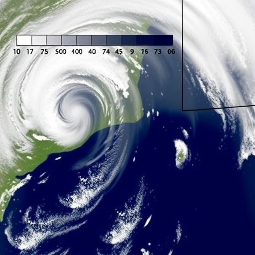
Cut-off low systems are among the Western Cape’s most dangerous weather events, capable of producing torrential rain within hours. Although these storms contribute only a fraction of the region’s annual rainfall, they often drive the most damaging floods—threatening roads, homes, and lives. For scientists, the key question has been why some cut-off lows rapidly intensify into extreme rainfall events.
A new study from the University of Cape Town (UCT) points to an offshore driver: the warm Agulhas Current. Researchers found that this current supplies the heat and moisture that strengthen cut-off low storms over the Western Cape. The neighbouring Benguela Upwelling System, in contrast, appears to exert comparatively little control on rainfall extremes.
To isolate the role of the oceans, the team recreated the September 2023 flood-producing event using the Model for Prediction Across Scales–Atmosphere (MPAS-A), a high-resolution numerical weather model. They ran targeted sensitivity experiments in which the warming influence of the Agulhas Current was removed, and, separately, the cooling effect of the Benguela Upwelling System was weakened. This experimental design allowed the researchers to link specific ocean processes to changes in storm rainfall.
When Agulhas warming was removed, rainfall across the province fell by more than 18%. The mechanism was physical and multi-step: cooler sea temperatures reduced the transfer of heat and moisture to the atmosphere, weakened atmospheric instability, limited vertical motion, and ultimately suppressed rainfall intensity.
The Benguela-related experiments produced a different outcome. Even when Benguela cooling was reduced, rainfall changed by less than 2%. Despite increased atmospheric moisture under warmer Benguela conditions, the simulations showed that this moisture remained trapped on the storm’s western side and did not reach the region where the heaviest rainfall forms.
Lead author Chelsey Jansen emphasized that moisture alone is not sufficient. For extreme rainfall to develop, the storm’s circulation must organize that moisture to rise efficiently into the system. In the Benguela case, the circulation prevented the moisture from fueling the core rainfall region.
Beyond isolating ocean impacts, the MPAS-A simulations reproduced the September 2023 storm realistically, matching its movement, internal structure, and rainfall distribution. Compared with commonly used reanalysis products, the model delivered a more faithful spatial rainfall pattern, supporting its value for studying extreme weather.
The findings strengthen understanding of ocean–atmosphere coupling in southern Africa. They suggest that improving forecasts and disaster risk planning requires representing the Agulhas Current’s influence accurately, especially when anticipating the intensity of cut-off low rainfall.
Future work will test whether the Agulhas Current’s dominant role persists across multiple cut-off low events in different years, helping to refine confidence in climate projections and flood prediction systems.
Cite Scienmag News
Violet Maxwell. (July 29, 2026). Warm Agulhas Current Powers Western Cape’s Deadliest Flood-Producing Storms. Scienmag. https://scienmag.com/warm-agulhas-current-powers-western-capes-deadliest-flood-producing-storms/
Violet Maxwell. "Warm Agulhas Current Powers Western Cape’s Deadliest Flood-Producing Storms." Scienmag, 29 July 2026, https://scienmag.com/warm-agulhas-current-powers-western-capes-deadliest-flood-producing-storms/. Accessed 4 September 2026.
Violet Maxwell. "Warm Agulhas Current Powers Western Cape’s Deadliest Flood-Producing Storms." Scienmag. July 29, 2026. https://scienmag.com/warm-agulhas-current-powers-western-capes-deadliest-flood-producing-storms/


