


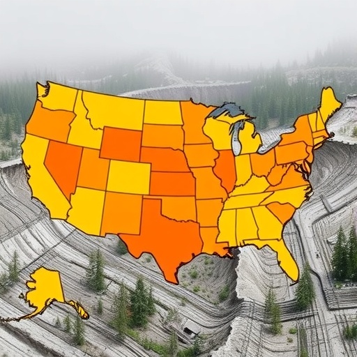
A new study suggests that landslide risk in the United States is not just a question of steep terrain—it is also a problem of where people live. Researchers estimate that about 6.5 million Americans reside in or near buildings located in areas highly susceptible to landslides, creating a hazard map that is meaningful for public readiness and local planning.
The work reframes landslides as intensely local events. Unlike disasters that sweep across large regions, slope failure can vary dramatically over short distances, with susceptibility changing even between neighboring points separated by only tens of meters. That fine-scale variability is crucial when evaluating which communities are truly exposed.
To capture the human side of the hazard, the team integrated three major datasets: USGS maps of landslide-susceptible areas, the spatial footprint of recorded buildings nationwide, and estimates of nighttime building occupancy. Nighttime occupancy is used to approximate population presence when people are typically least able to respond quickly, providing a risk view that aligns with real-world constraints.
The analysis also reflects how geography and demographics shape exposure. Even though the steepest landscapes are concentrated in the West, more than half of the exposed population lives closer to the East Coast, largely because population density is much higher there. In addition, the study finds that rural residents generally have less capacity to recover after damaging events.
The researchers quantify vulnerability by layering in socioeconomic factors drawn from US Census data. Wealth and access to resources can influence recovery, while disadvantages such as poverty, disability, isolation, and limited English proficiency can compound risk by reducing access to warning systems, support networks, and rebuilding capacity.
A striking example emerges across the Appalachians, from northern Maine to central Alabama, where large rural populations overlap with landslide-prone terrain. The study notes that in places like West Virginia, the combination of steep housing pressure and higher costs for flatter land can leave lower-income households in the most exposed slopes.
Where urban areas meet landslide terrain, patterns differ. High-income residents may choose hillside neighborhoods for views despite hazard levels, and the study recommends land-use regulation to discourage new development in risky zones while addressing recovery responsibilities.
Overall, the researchers present a scalable template that could be adapted beyond the United States. By turning geohazard susceptibility into exposure and recovery risk, the approach offers a practical foundation for emergency preparedness, resilience investment, and more equitable disaster planning.
Cite Scienmag News
Violet Maxwell. (July 29, 2026). 6.5 Million Americans Reside in Landslide Hazard Zones. Scienmag. https://scienmag.com/6-5-million-americans-reside-in-landslide-hazard-zones/
Violet Maxwell. "6.5 Million Americans Reside in Landslide Hazard Zones." Scienmag, 29 July 2026, https://scienmag.com/6-5-million-americans-reside-in-landslide-hazard-zones/. Accessed 4 September 2026.
Violet Maxwell. "6.5 Million Americans Reside in Landslide Hazard Zones." Scienmag. July 29, 2026. https://scienmag.com/6-5-million-americans-reside-in-landslide-hazard-zones/


