


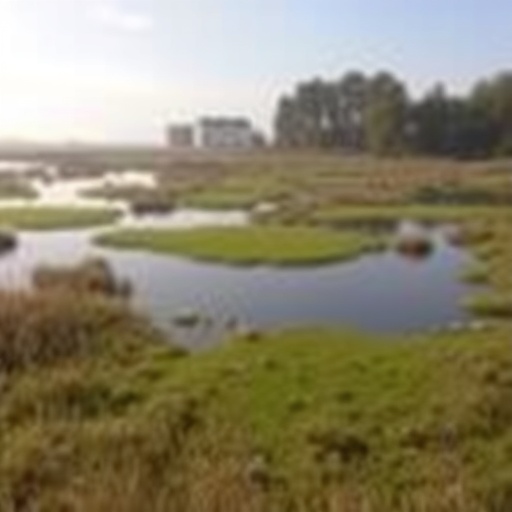
Europe’s wetlands—once widespread across the continent—have long supported wildlife, protected plants, and sustained human communities. But centuries of drainage, agriculture, and extraction have dramatically altered these ecosystems. Today, half of Europe’s wetlands are gone, and the loss is not only cultural or ecological: wetlands are among nature’s most powerful carbon sinks. When they are disturbed, however, they can flip from storing carbon to releasing greenhouse gases.
A new study published in Nature addresses a major obstacle to climate-aware restoration policy: the absence of a continent-wide, high-resolution picture of where wetlands are, what types they are, and how disturbed they have become. Led by researchers at the Global Wetland Center at the University of Copenhagen, the work aims to make wetland restoration targets measurable and actionable across Europe.
“To meet wetland restoration targets, we need a high-resolution map showing their extent, the different types, and what is disturbing them today,” says lead author Gyula Máté Kovács. He emphasizes that without such insight, it is difficult to assess wetlands’ true climate impact—especially where restoration potential is greatest.
Using 10-meter satellite imagery and machine learning, the team produced an open-access digital product called European Wetland Types. The map classifies six categories of natural and semi-natural wetlands across 38 European countries, enabling consistent, cross-border comparisons of wetland extent and condition.
The researchers highlight that Europe’s wetlands are highly fragmented. Roughly 27–33% occur in contiguous areas smaller than 25 hectares, and 7–11% are found in patches under 1 hectare. Because many existing datasets are too coarse, the smallest wetlands may be systematically missed—reducing the accuracy of restoration planning and carbon risk assessments.
Across the mapped region, about one fifth of wetlands are highly affected by human activity. Inland marshes emerge as among the most disturbed, while peatlands are flagged as a top priority for climate benefits due to their strong capacity to store soil carbon.
However, the stakes extend beyond biodiversity. The study estimates that up to five billion tonnes of CO₂-equivalent soil carbon may have been released compared with a scenario where these wetlands remained undisturbed—an amount comparable to roughly 1.5 years of total EU CO₂ emissions.
Built to support implementation of the EU Nature Restoration Law, the map helps member states identify restoration candidates and estimate likely climate outcomes. By harmonizing how wetlands are defined across countries, it also allows EU institutions to evaluate reporting on a comparable basis.
The team is now extending the approach to develop a global version of the map, with the goal of improving worldwide estimates of greenhouse gas emissions from wetlands and guiding restoration strategies at larger scales.
Keywords
Wetlands, peatlands, satellite mapping, machine learning, carbon sinks, greenhouse gas emissions, EU Nature Restoration Law, biodiversity restoration, habitat fragmentation, 10m resolution
Cite Scienmag News
Margaret Porter. (July 15, 2026). Study identifies Europe’s most critical wetlands for climate action. Scienmag. https://scienmag.com/study-identifies-europes-most-critical-wetlands-for-climate-action/
Margaret Porter. "Study identifies Europe’s most critical wetlands for climate action." Scienmag, 15 July 2026, https://scienmag.com/study-identifies-europes-most-critical-wetlands-for-climate-action/. Accessed 4 September 2026.
Margaret Porter. "Study identifies Europe’s most critical wetlands for climate action." Scienmag. July 15, 2026. https://scienmag.com/study-identifies-europes-most-critical-wetlands-for-climate-action/


