


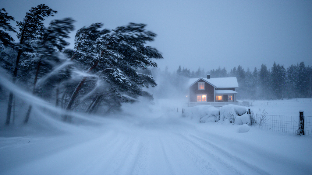
When a winter storm slams into a coastline, the most dangerous moments are often not the strongest gusts or the heaviest snowfall on their own, but the hours when the two arrive together. A new study from the Finnish Meteorological Institute has, for the first time in decades, put hard numbers on how often extreme wind gusts and intense snowfall coincide in Finland, how long those conditions persist, and how severe they can become. Drawing on 65 years of hourly reanalysis data from 1960 to 2024, researchers Taru Olsson, Terhi K. Laurila, Ari Aaltonen and Kirsti Jylhä identified and characterised compound snowfall–wind-gust events across the country, with particular attention to four coastal sites that host critical infrastructure, including two nuclear power plants. Their findings, published in Natural Hazards and Earth System Sciences, reveal a hazard that is usually brief but occasionally relentless, and one that standard single-hazard warnings can easily miss.
The team used the ERA5 reanalysis, the European Centre for Medium-Range Weather Forecasts’ fifth-generation global dataset, which provides hourly estimates of wind gusts and snowfall on a roughly 30-kilometre grid. Because reanalysis offers complete and consistent coverage, including over the Baltic Sea where direct observations are sparse or absent, it was the natural choice for a study spanning nearly seven decades. Rather than applying a single fixed threshold, the researchers defined extremes relative to the local climate, using the 95th and 98th percentiles of hourly snowfall and wind gusts at each grid point. An hour was classified as a compound event, labelled SWG, only when both variables exceeded their respective thresholds simultaneously. The stricter SWG98 definition isolates the most severe tail of these events, while SWG95 captures a broader sample relevant to operational preparedness.
Geographically, the results show a clear pattern. With the 95th percentile threshold, compound events clustered in a zone stretching from the shores of the Bothnian Bay in the northwest towards Lake Ladoga in the southeast. When the stricter 98th percentile was applied, the hot spots shifted towards the south-facing shores of the Baltic Sea and Lake Ladoga, underlining how open water and onshore flow conspire to produce the most intense simultaneous snowfall and winds. Northern Finland and the northwest-facing shore of the Bothnian Bay saw the fewest events. Winter storms typically reach Finland from the southwest, crossing the Baltic Sea, and when that sea remains ice-free the storms pick up heat and moisture that can supercharge snowfall along the coast, a mechanism that helps explain the coastal concentration.
Year-to-year variability was striking. At the four study locations, the annual number of compound event days ranged from zero to as many as 12 days per year under the SWG98 definition, and up to 19 days per year under SWG95. Crucially, the researchers found no statistically significant long-term increase or decrease in compound event frequency over the 65-year record. This stability held even though heavy snowfall events in isolation, those exceeding 10 millimetres of accumulated snow, have actually declined across most coastal areas at a rate of roughly 0.1 to 0.4 events per decade. The message is subtle but important: while substantial snowfall alone may be becoming less common in southwestern Finland, the snowstorms that combine heavy snow with strong winds have not shown a corresponding decline.
Duration proved to be one of the most operationally significant findings. Most compound events are remarkably short: roughly half lasted less than five hours, and single-hour events were the most common. Mean durations ranged from 3.4 to 4.5 hours depending on the threshold, with the stricter SWG98 definition naturally capturing shorter, more intense cores of the same storms. Yet the record contains genuine outliers. The longest SWG95 event persisted for 35 hours at Tornio Torppi, while Loviisa Hästholmen endured two events exceeding 30 hours. Events lasting at least 12 consecutive hours, which the authors flagged as long-lasting, were rare, occurring on average only 0.2 to 0.4 times per year at the 95th percentile and far less often at the 98th. For infrastructure operators, however, these rare marathons matter most, because sustained loading of structures, blocked access routes and prolonged strain on ventilation systems scale with duration, not just peak intensity.
Intensity analysis revealed a fascinating asymmetry around Finland’s coastline. The highest average wind gusts during compound events occurred over the Bothnian Sea, reaching 20 to 24 metres per second under SWG95 conditions and 21 to 26 metres per second under SWG98, while the largest average snowfall rates concentrated along the southern coast, at 0.8 to 1.0 millimetres per hour for SWG95 and 1.1 to 1.3 for SWG98. In other words, the western coast tends to take the brunt of the wind while the southern coast takes the snow. The joint distribution of hourly values showed a triangular shape: moderate wind gusts accompanied a wide range of snowfall intensities and vice versa, and the peak values of the two variables rarely coincided within the same hour. Long-duration events, notably, were not the most intense ones hour by hour; their danger lay in persistence.
Using absolute thresholds aligned with Finnish warning practice, the study quantified the truly extreme tail. Compound events with heavy snowfall rates exceeding 2.5 millimetres per hour, a level corresponding to visibilities of roughly 0.2 to 0.8 kilometres, occurred only one to three times per decade under SWG95 and less than once per decade under SWG98. Events piling up more than 20 millimetres of snowfall were rarer still. Wind gusts above the first Finnish warning level of 20 metres per second accompanied compound events 8 to 20 times per decade, but gusts beyond 25 metres per second appeared only 0.3 to 2 times per decade. Blizzard conditions, defined as gusts above 17 metres per second with at least 10 millimetres of accumulated snow, occurred three to six times per decade, most frequently at Tornio Torppi. Under the harshest blizzard criteria, gusts above 20 metres per second with more than 20 millimetres of snow, only four events were detected across all four sites in 65 years, and all lasted more than 11 hours.
Among the standout cases, one December 1966 snowstorm simultaneously struck Tornio Torppi, Eurajoki Olkiluoto and Turku Artukainen, with SWG98 conditions persisting for up to 20 hours, snowfall rates peaking at 3 millimetres per hour, gusts reaching 26 metres per second and nearly 26 millimetres of snow accumulating. The longest SWG98 event at Eurajoki Olkiluoto produced the second-largest daily snow accumulation ever recorded in Finland, 50 centimetres on 21 November 1971, attributed to sea-effect snowfall fed by moisture from the ice-free sea. Across the whole record, the highest hourly snowfall rate, 3.7 millimetres per hour, and the largest accumulation, 28.5 millimetres, occurred at Turku Artukainen, while the strongest gust, 29 metres per second, struck Loviisa Hästholmen during a 31-hour event whose moderate snowfall still accumulated nearly 23 millimetres.
The framework proved its worth in November 2024, when two powerful cyclones, Lyly and Jari, hit Finland within three weeks. Storm Lyly brought the first officially observed hurricane-force winds in Finnish marine areas, a ten-minute mean of 33.5 metres per second at the Kylmäpihlaja lighthouse, with coastal gusts to 39.6 metres per second, felling trees, collapsing power line poles and cutting electricity to roughly 67,000 customers. Yet because Lyly’s peak winds did not coincide with heavy snowfall, it failed the study’s compound-event definition. Storm Jari, with lower peak gusts of 34.2 metres per second, instead produced persistent snowbands over the open Bothnian Bay that swept into the coast, dropping up to 28 centimetres of snow, knocking out power to more than 70,000 households and even driving a 1.6-metre sea-level withdrawal near Kemi. Jari qualified as a genuine compound event, including an 18-hour SWG95 episode at Eurajoki Olkiluoto.
The contrast between the two storms crystallises the study’s central lesson: the severity of a winter storm is not determined by the magnitude of its individual hazards alone, but by where and when those hazards overlap. Simultaneous strong winds and heavy snowfall drive snow drifting far beyond what snowfall totals alone suggest, bury roads and ventilation intakes, fell snow-laden trees onto power lines and reduce visibility to hazardous levels. Even short compound bursts can trigger traffic accidents and overwhelm snow removal, while the rare prolonged events pose serious challenges for energy production and nuclear facility operations. With no detectable trend in compound event behaviour over 65 years, the authors argue that embedding compound-event analysis into hazard assessments and preparedness planning is essential for a warming North where, paradoxically, heavy snowfall days may persist even as ordinary snowfall declines.
Subject of Research: Compound extreme snowfall and wind gust events in Finland from 1960 to 2024
Article Title: Characteristics of extreme snowfall–wind-gust events in Finland (1960–2024): frequency, duration, and intensity
Article References: Olsson, T., Laurila, T. K., Aaltonen, A., & Jylhä, K. (2026). Characteristics of extreme snowfall–wind-gust events in Finland (1960–2024): frequency, duration, and intensity. Natural Hazards and Earth System Sciences, 26(9), 4621-4640. https://doi.org/10.5194/nhess-26-4621-2026
Image Credits: AI Generated
DOI: 10.5194/nhess-26-4621-2026
Keywords: compound weather events, snowfall, wind gusts, Finland, ERA5 reanalysis, winter storms, blizzards, nuclear power plants, critical infrastructure, coastal hazards, risk assessment, Baltic Sea
Cite Scienmag News
Sloane Callahan. (October 9, 2026). When Snow and Wind Strike Together: Finland’s Rare but Dangerous Compound Winter Storms Mapped Over 65 Years. Scienmag. https://scienmag.com/when-snow-and-wind-strike-together-finlands-rare-but-dangerous-compound-winter-storms-mapped-over-65-years/
Sloane Callahan. "When Snow and Wind Strike Together: Finland’s Rare but Dangerous Compound Winter Storms Mapped Over 65 Years." Scienmag, 9 October 2026, https://scienmag.com/when-snow-and-wind-strike-together-finlands-rare-but-dangerous-compound-winter-storms-mapped-over-65-years/. Accessed 9 October 2026.
Sloane Callahan. "When Snow and Wind Strike Together: Finland’s Rare but Dangerous Compound Winter Storms Mapped Over 65 Years." Scienmag. October 9, 2026. https://scienmag.com/when-snow-and-wind-strike-together-finlands-rare-but-dangerous-compound-winter-storms-mapped-over-65-years/


