


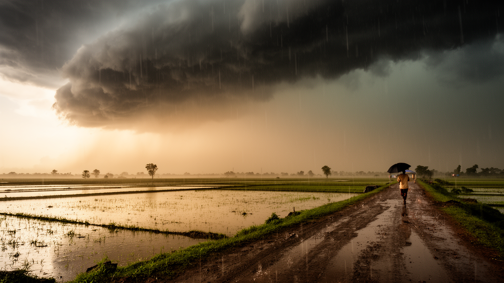
Every summer, the Indian monsoon does not simply arrive and rain steadily for four months. It breathes. Organized bands of convection surge northward from the equatorial Indian Ocean onto the subcontinent, then retreat, in cycles lasting roughly 25 to 90 days. This pulsation, known as the monsoon intraseasonal oscillation, or MISO, has long been recognized as the dominant mode of variability within the summer monsoon. What has remained far murkier is how these slow, weeks-long rhythms interact with the haze of aerosols suspended over India and with the short-lived, destructive bursts of extreme rainfall that flood central Indian river basins. A new observational study published in Climate Dynamics by Anu Gupta of the University of Hyogo and colleagues, including researchers at Osaka Metropolitan University and Tokyo Metropolitan University, now maps that interaction in unprecedented detail, and its central finding is counterintuitive: when the air over central India is dirtiest, its most violent rains tend to be rarest.
The team assembled an unusually rich suite of satellite and reanalysis datasets covering the summer monsoon seasons of 2003 through 2019. Rainfall came from the Integrated Multi-satellite Retrievals for the Global Precipitation Measurement mission, known as IMERG, which resolves precipitation globally at 0.1-degree horizontal resolution. Aerosol loading was quantified through aerosol optical depth, or AOD, at 550 nanometers, drawn both from the MODIS instruments aboard the Terra and Aqua satellites and from the Copernicus Atmosphere Monitoring Service reanalysis produced by the European Centre for Medium-Range Weather Forecasts. Atmospheric winds, moisture and pressure fields came from the ERA5 reanalysis, while cloud properties and surface radiation were taken from the Clouds and the Earth’s Radiant Energy System, CERES, satellite record. To organize this torrent of data, the researchers used the MISO index developed at the Indian Institute of Tropical Meteorology, which classifies each day of the monsoon into one of eight phases according to the position and strength of the propagating convective envelope.
That eight-phase framework is the key to the study’s structure. Phases 1 and 2 correspond to break conditions over central India, when convection shifts away from the subcontinent and skies clear. Phases 5 and 6 are the active phases, when the rain band sits squarely over the heart of the country. Phases 3 and 4 mark the transition from break to active, and phases 7 and 8 the transition back toward break. By compositing aerosol, rainfall, wind and cloud measurements separately in each phase, Gupta and colleagues could track how aerosols and extreme rainfall events, defined as days exceeding the 99th percentile of daily monsoon rainfall, rise and fall together or in opposition across a full MISO cycle.
The headline result is a robust negative relationship. Aerosol optical depth over central India peaks during MISO phases 6 and 7, the active-to-break transition, when values climb to roughly 0.45 in the high-aerosol composites compared with about 0.28 in the low-aerosol spells. Extreme rainfall, by contrast, peaks earlier, during phases 3 and 4, the break-to-active transition, with anomalies reaching about 25 percent above the seasonal average, and collapses to its weakest levels precisely during the high-AOD phases. Across the full oscillation, AOD varies by 8 to 10 percent between phases while extreme rainfall precipitation swings by 20 to 30 percent, and the two curves move in near-mirror opposition. The researchers labeled the two contrasting regimes HELA, for spells of high extreme rainfall and low aerosol, and LEHA, for low extreme rainfall and high aerosol. In HELA composites, extreme rainfall exceeded 50 millimeters per day; in LEHA composites it fell below 10 millimeters per day.
Perhaps the most striking quantitative detail is a systematic lag. Mean monsoon rainfall, which includes all precipitation intensities, reaches its maximum around phase 5, at roughly 11 millimeters per day. Extreme rainfall peaks about two MISO phases earlier, in phase 4, while aerosol optical depth peaks two phases later, in phases 6 and 7. This staggered choreography suggests that the heaviest downpours are not simply a byproduct of the wettest conditions; they flourish during the dynamical buildup toward the monsoon’s active crest, then fade even as total rainfall and aerosol loading continue to climb. Notably, AOD kept rising from about 0.32 to 0.38 even as mean rainfall peaked, implying that wind-driven transport of dust from the Arabian Peninsula and surrounding arid regions can offset the removal of aerosols by rain, a process known as rainout.
The dynamical machinery behind these contrasts lies in the low-level monsoon circulation. During HELA spells, an anomalous cyclonic circulation develops over central India in the lower troposphere. This cyclonic anomaly strengthens moisture convergence, pulling water vapor from both the Bay of Bengal and the Arabian Sea into the region and creating the fuel for deep convection. Wind convergence anomalies are strongly positive through the lower and middle atmosphere, and moisture convergence over central and northern India is enhanced, while southern India experiences divergence. During LEHA spells the picture inverts: an anomalous anticyclonic circulation dominates, steering dry, dust-laden northwesterly winds from western and northern India into the central region. Moisture convergence weakens, humidity drops, and the atmosphere is left with abundant aerosol but little of the water vapor needed to build rain-bearing clouds. The study thus frames the aerosol-rainfall anticorrelation not as a simple causal chain but as two faces of the same oscillating circulation: the winds that sweep dust into central India are the same winds that shut off its moisture supply.
Cloud observations from CERES reinforce this interpretation. In HELA spells, the cloud liquid water path exceeds 80 grams per square meter and the cloud ice water path exceeds 50 grams per square meter over central India, signatures of deep, vertically developed convective systems. Cloud water particle radii reach about 14 micrometers over land, and cloud ice particles grow larger as well, consistent with vigorous updrafts that loft supercooled liquid high into the troposphere where it freezes. In LEHA spells, all of these quantities shrink. The mechanism, the authors argue, involves aerosol indirect effects: high concentrations of particles act as cloud condensation nuclei, dividing the available cloud water among many more, smaller droplets. Smaller droplets collide and coalesce less efficiently, suppressing the formation of raindrops and paradoxically producing more extensive but less rainy cloud cover. Indeed, cloud fraction rises by roughly 10 to 15 percent in the high-AOD phases even as precipitation falters.
Radiation completes the feedback loop. The thicker, more numerous clouds and the aerosol layer itself scatter and absorb incoming sunlight, cutting surface shortwave radiation by 25 to 30 watts per square meter in the high-aerosol composites. Less solar energy reaching the ground means cooler surfaces and a more stable lower atmosphere, which further damps convection. The authors propose that this combination of high aerosol concentrations and substantial cloud cover cools the surface and lower atmosphere, altering monsoon circulation and convection patterns in subsequent phases, potentially priming the stronger winds and even higher aerosol densities observed later in the cycle. At the monsoon’s onset, they note, high aerosol loading coincides with dry air, reducing moisture convergence and suppressing extreme events from the very start of the season.
The implications reach well beyond atmospheric science. Central India’s extreme rainfall events drive some of the region’s most damaging floods, and a two-phase lag between peak aerosol loading and peak extreme rainfall offers a potential window for anticipation: the MISO index is already monitored in real time for forecast verification, and the phase-dependent aerosol-rainfall relationship documented here could sharpen extended-range predictions of when flood-producing deluges are most likely. The study also carries a caution for climate intervention debates, since it demonstrates that aerosols do not act on rainfall in isolation but through their entanglement with the monsoon’s own circulation. The authors are careful to flag the limits of their work: the analysis does not resolve the roles of individual aerosol species, such as black carbon versus dust, in modifying radiation and clouds, and the observed relationships now need to be tested with dedicated modeling experiments. Still, by showing that the monsoon’s slow breathing choreographs a three-way dance among dust, clouds and deluge, the study transforms what looked like statistical coincidence into a coherent physical narrative, one written across eight phases and seventeen monsoon seasons over the heart of India.
Subject of Research: Modulation of extreme rainfall events and aerosol optical depth by the monsoon intraseasonal oscillation over central India
Article Title: Role of monsoon intraseasonal oscillations in modulating extreme rainfall and aerosols over central India
Article References: Gupta, A., Teja, K. R., Matsumoto, J., & Nodzu, M. I. (2026). Role of monsoon intraseasonal oscillations in modulating extreme rainfall and aerosols over central India. Climate Dynamics, 64(11), Article 454. https://doi.org/10.1007/s00382-026-08287-w
Image Credits: AI Generated
DOI: 10.1007/s00382-026-08287-w
Keywords: monsoon intraseasonal oscillation, aerosol optical depth, extreme rainfall events, central India, cloud microphysics, MISO phases, moisture convergence, CERES, GPM IMERG, Indian summer monsoon, aerosol-cloud interactions, Climate Dynamics
Cite Scienmag News
Russell Cooper. (October 9, 2026). Monsoon Rhythms: How Aerosol Pulses Quiet India’s Most Violent Rains. Scienmag. https://scienmag.com/monsoon-rhythms-how-aerosol-pulses-quiet-indias-most-violent-rains/
Russell Cooper. "Monsoon Rhythms: How Aerosol Pulses Quiet India’s Most Violent Rains." Scienmag, 9 October 2026, https://scienmag.com/monsoon-rhythms-how-aerosol-pulses-quiet-indias-most-violent-rains/. Accessed 9 October 2026.
Russell Cooper. "Monsoon Rhythms: How Aerosol Pulses Quiet India’s Most Violent Rains." Scienmag. October 9, 2026. https://scienmag.com/monsoon-rhythms-how-aerosol-pulses-quiet-indias-most-violent-rains/


