


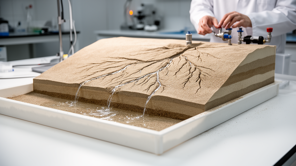
Every time rain falls on a landscape, a hidden engine starts turning. Water soaks into the soil, percolates downward through porous ground, and begins to move laterally as groundwater, seeping slowly toward the nearest stream. Where that subsurface water emerges at the surface with enough force, it can pick up sediment grains and dig into the land, carving channels that grow backward into the hillslope. Geologists have long suspected that this process, known as seepage erosion, shapes the branching heads of many river networks, but the natural version of the phenomenon unfolds at a glacial pace, typically a few millimeters of channel growth per year. Now a team of physicists at the Institut de Physique du Globe de Paris has compressed that timescale into a laboratory experiment, growing entire drainage networks from scratch in a tank of plastic sand over just a few weeks, and using the results to explain why river networks grow at their tips.
The study, published in the journal Earth Surface Dynamics by Céleste Romon, Eric Lajeunesse, and François Métivier, describes a purpose-built experimental aquifer housed in a rectangular tank measuring 150 by 150 centimeters with a height of 35 centimeters. The researchers filled the upper compartment with a layer of plastic grains between 500 and 1000 micrometers in diameter, forming an erodible aquifer 15 to 20 centimeters thick. Beneath the sand, separated by a thin felt layer held between two metal grids, sits a water reservoir. Rather than sprinkling artificial rain onto the surface, an approach that muddies imaging, splashes grains out of place, and can generate surface runoff, the team injected water from below at a precisely controlled rate. The felt layer, whose hydraulic conductivity is roughly two orders of magnitude lower than that of the sand, acts as a resistor that distributes the incoming water uniformly across the base of the aquifer, mimicking the steady recharge that infiltration provides in nature.
Water leaves the tank through a narrow rectangular outlet cut into one wall, 15 centimeters above the aquifer bottom. As the water table rises to meet this opening, groundwater converges on the outlet and flows out, and if the discharge is strong enough, it drags plastic grains with it. The outflowing mixture, collected and weighed in a beaker at regular intervals, allowed the team to track both water discharge and the much smaller sediment flux, which amounted to only about 20 grams per hour. Within hours of the first run, seepage erosion had carved a channel extending backward from the outlet, its head taking on the amphitheater-shaped form that characterizes groundwater-sapped valleys on Earth and even on Mars. Over longer times, single channels split into two, branches competed for drainage area, and neighboring channels widened and merged, producing genuinely branching drainage networks several channels wide.
The most striking result concerns what happens when growth stops. In every preliminary run, erosion slowed steadily and eventually ceased entirely, with no further activity even after twelve hours of waiting. The only way to restart the network was to increase the recharge of the aquifer, which immediately triggered fresh channel growth until the system once again ground to a halt. The researchers interpret this behavior as evidence that, for a fixed recharge rate, the drainage network relaxes toward a steady-state morphology in which the sediments everywhere sit just at the threshold of motion. Too little groundwater flux, and nothing moves; the network has grown just large enough that the available water is spread thin across its entire perimeter. In this picture, the recharge rate effectively selects the size of the network, a hypothesis the team put to a demanding test.
In their central experiment, which ran continuously for 25 days, the researchers stepped the recharge upward ten times, beginning at roughly 0.1 liters per minute and increasing in increments of about 0.1 liters per minute. After each increase, they waited for the network to stabilize, verified by comparing photographs until no changes could be detected, and then measured the area enclosed by the channel network, tracing its contours manually with a measurement accuracy better than 4 percent. The result was remarkably clean: the steady-state network area increased linearly with the recharge rate, with a fitted proportionality constant of about 3.8 times 10 to the 3 seconds per meter. Because this relationship emerged from a single experiment, the authors caution that definitive conclusions require repetition, and they speculate that the slope of the relationship may depend on aquifer properties such as hydraulic conductivity and grain size. Still, the linear law suggests a simple and testable prediction for natural landscapes: where infiltration dominates over overland flow, the size of a drainage network may encode the intensity of local groundwater recharge.
Throughout the experiment, 22 piezometers, thin plastic tubes threaded along the aquifer bottom with narrowed tips that admit water but exclude grains, monitored the pressure field. Because the aquifer is shallow compared with its lateral extent, the groundwater flow obeys the Dupuit-Boussinesq approximation, a classical result dating to the 1860s and 1870s stating that vertical flow can be neglected to leading order. Under this approximation the pressure is hydrostatic, so the water level in each piezometer directly records the height of the water table above the aquifer bottom. Each step up in recharge produced an almost immediate rise in every piezometer, followed by a gradual relaxation as the network adjusted toward its new equilibrium. In steady state, the water table sloped downward toward the drainage network, reaching its minimum at the channels, exactly as field hydrogeologists observe in real catchments.
Armed with these boundary conditions, the team reconstructed the entire water table numerically. They solved the Dupuit-Boussinesq equation, which in time-averaged form becomes a Poisson equation for the square of the water-table height, using the finite-element method on a mesh refined where the water-table gradient is steep. The impervious tank walls supplied one boundary condition, and the drainage network supplied the other: the water table intersects the channels at the elevation of the streams. Since the experimental channels are only a few millimeters deep with slopes below 3 percent, the researchers approximated the whole network as lying at the elevation of the outlet. An iterative optimization adjusted the hydraulic conductivity to minimize the mismatch between the numerical solution and the 22 piezometric measurements, converging on a value of about 4.1 times 10 to the minus 3 meters per second, slightly higher than the value measured independently in a Darcy column, as expected for the looser packing of the experimental sand bed.
The reconstruction matched the piezometric data closely across nearly the entire aquifer, deviating only inside or immediately adjacent to the network, where the simplified boundary condition ignores the roughly one centimeter of actual water depth in the channels. A one-dimensional analysis in the paper’s appendix quantifies the consequence: neglecting the channel water depth overestimates the groundwater flux near the channel tips by a factor of about two. Away from the network, however, the method proved robust, and it revealed the mechanism at the heart of seepage-driven landscape evolution. Computed streamlines converged on the drainage network and concentrated near the channel tips, where the groundwater flux, given by the product of hydraulic conductivity, water-table height, and the gradient of the water table, reached values far higher than anywhere else in the aquifer. Close to the network, the iso-heads, the lines of constant water-table elevation, bent to follow the network’s outline, while at larger distances they smoothed out, indicating that the network’s hydrological influence extends over a region roughly proportional to its own size.
This concentration of flux at the tips closes the feedback loop that builds branching river networks. A larger groundwater discharge at a channel head entrains more sediment and drives faster erosion, while the flux along the channel sides remains too weak to mobilize grains. Erosion therefore undermines the land at the tip, the bank collapses, and the channel head advances into the aquifer, which in turn redirects still more groundwater toward the advancing front. The findings, consistent with earlier field reconstructions in the Florida Panhandle, provide the clearest laboratory demonstration yet that seepage erosion alone, without any surface runoff, can initiate and grow a branching drainage network, and that the network’s ultimate size is set by the recharge it must drain. The authors note that if the same logic applies in nature, many groundwater-dominated networks may operate near steady state today, though caution is warranted: landscapes preserve memory. During a field campaign in the Sanwara catchment in central India in the summer of 2024, the upper network carried no water despite a heavy monsoon, suggesting it was carved under a wetter past regime. The team is now extending the reconstruction method to field settings, aiming to estimate groundwater flow, storage, and river discharge from topographic maps alone, and testing fringe projection photogrammetry to capture channel topography and sharpen the flux estimates at the tips where rivers are born.
Subject of Research: Seepage erosion and the growth of groundwater-driven drainage networks in laboratory aquifer experiments
Article Title: Evolution of seepage driven networks in the lab
Article References: Romon, C., Lajeunesse, E., & Métivier, F. (2026). Evolution of seepage driven networks in the lab. Earth Surface Dynamics, 14(4), 517-525. https://doi.org/10.5194/esurf-14-517-2026
Image Credits: AI Generated
DOI: 10.5194/esurf-14-517-2026
Keywords: seepage erosion, drainage networks, groundwater flow, Dupuit-Boussinesq, laboratory experiments, aquifer recharge, channel heads, water table, geomorphology, river networks, steady state, hydraulic conductivity
Cite Scienmag News
Violet Maxwell. (October 9, 2026). Groundwater Grows Rivers: Lab Networks Reveal How Seepage Carves Drainage Basins. Scienmag. https://scienmag.com/groundwater-grows-rivers-lab-networks-reveal-how-seepage-carves-drainage-basins/
Violet Maxwell. "Groundwater Grows Rivers: Lab Networks Reveal How Seepage Carves Drainage Basins." Scienmag, 9 October 2026, https://scienmag.com/groundwater-grows-rivers-lab-networks-reveal-how-seepage-carves-drainage-basins/. Accessed 9 October 2026.
Violet Maxwell. "Groundwater Grows Rivers: Lab Networks Reveal How Seepage Carves Drainage Basins." Scienmag. October 9, 2026. https://scienmag.com/groundwater-grows-rivers-lab-networks-reveal-how-seepage-carves-drainage-basins/


