


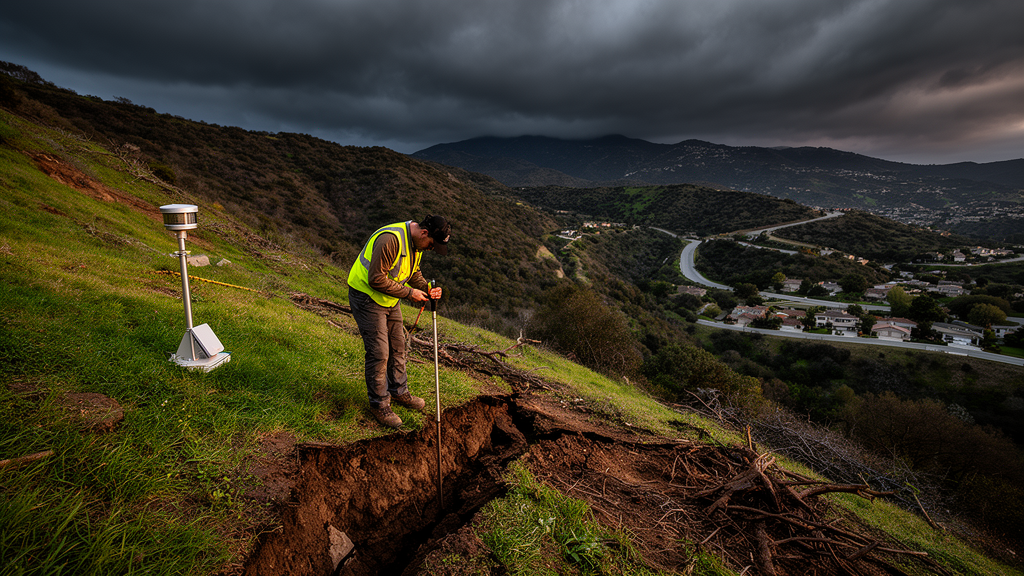
A decade of high-resolution rainfall estimates, paired with a rigorously filtered record of Southern California landslides, suggests that the moisture accumulated during the previous 10 days can improve detection of shallow slope failures. In the study, rainfall-only thresholds captured many reported landslides, but the strongest traditional approach detected 73% of known events while still raising alarms for 46% of comparable storms that did not produce landslides. A Random Forest model improved on those hand-built thresholds only marginally, reinforcing the view that data scarcity, rather than algorithm choice alone, constrains operational forecasting in the region.
The study examined shallow landslides within Southern California using 492 records from the California Geological Survey’s Reported Landslides Database between December 2016 and April 2023. The database was selected because its events generally have more precise locations, reported time periods and field-verification information than records in NASA’s Global Landslide Catalog, which contained about 66% fewer events for the region and only 31 Southern California entries with location accuracy better than 1 km during the study period. Researchers restricted the analysis to rainfall-triggered failures on natural slopes, excluded locations with strong evidence that roads, retaining walls or other construction had altered the slope, and rejected records whose locations were known only to worse than 1 mile.
Those initial filters reduced the catalog from 492 events to 165 plausible natural-slope landslides. The researchers then searched the MHEBC precipitation record for storms that occurred during, or shortly before, each reported failure. MHEBC, short for Merged Hydro-Estimator with Bias Correction, is a prototype dataset with 4-km cells and 6-hourly estimates that combines bias-corrected satellite precipitation with interpolated sub-daily rain-gauge observations. Its regional calibration was designed to retain the fine-scale and orographic structure of Southern California rainfall, which can vary sharply across topographically complex terrain and is often underrepresented by a sparse gauge network. For 23 landslides whose nearest MHEBC cell lacked a valid record, the team searched for a nearby cell with a similar topographic aspect, up to a maximum radius of 8 km; nine events could not be matched and were excluded.
Timing remained a major source of uncertainty. Many catalog entries provided only approximate periods derived from eyewitness accounts, news reports or agencies, and 25 had known dates but no times. By examining nearby gauge records and daily PRISM precipitation estimates, the researchers found cases in which the reported landslide occurred before substantial rain, 24 to 72 hours after an earlier storm or during a period with no significant nearby precipitation. A 24-hour maximum lag between the end of a rain event and the reported failure produced the best model skill in a sensitivity analysis and was used to associate storms with landslides. Events that could not be linked confidently to triggering rainfall were removed. In their interpretation, antecedent rainfall is a proxy for soil moisture and does not capture the full range of surface and subsurface processes that govern slope stability.
The study also exposed limitations in satellite and gauge information near the coast. MHEBC underestimated rainfall in several low-lying events, most notably during an April 2020 storm in northern San Diego County that produced about 30 small landslides. The discrepancy reflected unresolved small-scale precipitation structure rather than the bias-correction method itself. For coastal locations below 150 metres elevation, the team therefore regenerated the full rainfall time series using gauge interpolation alone. To prevent one storm from dominating the threshold analysis, it retained only one landslide per storm within any single 4-km MHEBC pixel. These steps left 70 landslide-triggering events with confidently associated rainfall and 355 comparable non-triggering storms of the same duration. The final sample was therefore modest even though the original catalogue contained hundreds of reported events, and its rainfall associations remained subject to the uncertainty of the reported occurrence times.
For each triggering storm, the investigators calculated total and mean precipitation, maximum 6-hourly rainfall rate, event duration and antecedent average rainfall over 3-, 5-, 7- and 10-day windows. These variables were used to construct manual thresholds, with a Gaussian Mixture Model identifying three clusters in the two-dimensional space of peak rainfall and antecedent wetness. A distinct lower cluster represented landslides occurring under comparatively modest rainfall. Thresholds were then placed either at the observed minimum values or above them by multiplicative factors of 1.25 or 1.5. Repeated random removal of 30% of the landslide record in 100 Monte Carlo iterations was used to estimate detection skill and the range of plausible thresholds. The upper-cluster thresholds were intended to test whether separating the lower-rainfall group could reduce false alarms without sacrificing too much detection skill.
Rainfall-only thresholds achieved high probability of detection, but the inclusion of non-triggering storms revealed the cost. Numerous storms that caused no landslides fell below the lowest boundaries. The upper-cluster threshold based on 10-day antecedent rainfall performed best overall: it preserved a probability of detection of 73% while reducing the false alarm ratio to 46%. By comparison, a model decision threshold of 0.4 in the Random Forest analysis produced 96% recall in the training data, but precision was only 47% and the false alarm ratio 53%. Raising the model threshold to about 0.65 reduced recall to roughly 75% while increasing precision to around 0.60–0.65 and lowering the false alarm ratio to 0.35–0.40. The acceptable operating point therefore depends on whether a forecasting system prioritizes catching every possible failure or avoiding repeated warnings that do not materialize. The study did not establish which trade-off would be acceptable to residents or emergency managers.
The Random Forest used rainfall-derived variables, including antecedent averages from 3 to 15 days, the steepest change between consecutive precipitation intervals, cumulative rain before the peak 6-hourly rate, mean event intensity, the number of wet intervals and slope. Class weighting was used to address the roughly one-to-five imbalance between triggering and non-triggering storms, while repeated five-fold cross-validation constrained model complexity. The selected trees had a maximum depth of three, limiting overfitting in the small dataset. On the training set, the model achieved a balanced accuracy of 0.84 and a precision-recall area under the curve of 0.79. Comparable values were reported for the test set, while precision remained near 0.5 in both datasets. Its curves sat only slightly above those produced by the manual thresholds, and the best traditional 10-day threshold tracked the model more closely than thresholds based on shorter wetness periods. The authors therefore describe the machine-learning gain as modest rather than transformative.
Both approaches identified 10-day antecedent rainfall as especially informative, and the Random Forest ranked the 7- and 10-day averages as the most important antecedent variables after peak-intensity measures. The authors interpret this pattern as consistent with prolonged wetting preconditioning shallow slopes before intense rainfall provides the trigger. Antecedent rain is only a proxy for soil moisture, however, and cannot fully represent pore-water pressure, runoff, infiltration or differences in soil and geology. Directly measured or modelled soil moisture could provide a more physically connected predictor, but the study notes that local calibration, additional computational steps and scarce observations complicate its use in warning systems. Satellite soil-moisture products also have retrieval delays and represent only the upper few centimetres of the soil profile. The results are therefore best understood as a diagnostic step, not a demonstrated real-time forecasting service.
Future work could force a calibrated catchment-scale soil-moisture model with MHEBC precipitation and repeat the comparison between manual thresholds and machine learning. The authors also recommend extending the precipitation record into the 2024–2025 and 2025–2026 wet seasons, combining the Geological Survey catalogue with standardized records from NASA and other sources, and improving the timing of reported failures. This matters because the final dataset contained only 70 events with confidently associated triggering rainfall after rigorous filtering, while the broader 492-event catalogue demonstrates how quickly apparently rich records can contract when quality and trigger attribution are tested. Once stronger thresholds are established with expanded observations, researchers could evaluate them against forecast precipitation rather than observed rainfall, moving the method from retrospective diagnosis toward probabilistic regional landslide forecasts with potentially useful lead time for communities in Southern California. Until then, the most defensible conclusion is that rainfall history can support useful landslide diagnostics, but the false-alarm burden and limitations of the event record remain substantial.
Subject of Research: Rainfall thresholds and machine-learning diagnostics for shallow landslides in Southern California
Article Title: Shallow landslide diagnostics for Southern California
Article References: De Biasio, E. F., & Georgakakos, K. P. (2026). Shallow landslide diagnostics for Southern California. Natural Hazards, 122(22), Article 683. https://doi.org/10.1007/s11069-026-08411-3
Image Credits: AI Generated
DOI: 10.1007/s11069-026-08411-3
Keywords: shallow landslides, Southern California, antecedent rainfall, landslide thresholds, MHEBC precipitation, Random Forest, soil moisture, machine learning, California Geological Survey, early warning, Shallow, landslide
Cite Scienmag News
Courtney Benton. (October 20, 2026). Ten-day rainfall history improves Southern California landslide detection. Scienmag. https://scienmag.com/ten-day-rainfall-history-improves-southern-california-landslide-detection/
Courtney Benton. "Ten-day rainfall history improves Southern California landslide detection." Scienmag, 20 October 2026, https://scienmag.com/ten-day-rainfall-history-improves-southern-california-landslide-detection/. Accessed 20 October 2026.
Courtney Benton. "Ten-day rainfall history improves Southern California landslide detection." Scienmag. October 20, 2026. https://scienmag.com/ten-day-rainfall-history-improves-southern-california-landslide-detection/


