

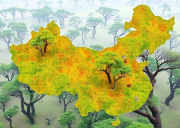
Lightweight AI Maps Every Tree in China’s Fragile Savanna Woodlands
A new lightweight deep-learning framework called DeepTree detects, delineates, and measures individual tree crowns in drone imagery of northern China's ...
A new lightweight deep-learning framework called DeepTree detects, delineates, and measures individual tree crowns in drone imagery of northern China's ...

Irish researchers combined multi-sensor drone surveys, ground measurements and random forest modelling to classify grassland peat soils as shallow- or ...
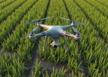
A systematic review of 199 studies finds that drone-based remote sensing is transforming rice breeding and field management, while cross-regional ...


Embark on a thrilling journey of discovery with Scienmag.com—your ultimate source for cutting-edge breakthroughs. Immerse yourself in a world where curiosity knows no limits and tomorrow’s possibilities become today’s reality!