


Physics-Constrained Neural Framework Maps Nitrogen Oxide Emissions from Satellite Data
The new PINE-NOx framework integrates satellite data with differentiable physical modeling to map nitrogen oxide emission patterns without relying on ...
The new PINE-NOx framework integrates satellite data with differentiable physical modeling to map nitrogen oxide emission patterns without relying on ...

Atmospheric simulations show that high-resolution point-source satellite imagers can significantly improve diffuse methane emission estimates across cloudy tropical regions by ...

A 21-year high-resolution satellite and machine learning analysis reveals an expanding air pollution disparity between northern and southern Ghana.

A newly developed satellite-driven intelligence platform reveals that nitrogen dioxide exposure across West Africa concentrates heavily along the Gulf of ...

Atmospheric measurements from the TROPOMI satellite revealed that major fire emission inventories underestimated carbon monoxide releases from extreme 2025 Iberian ...
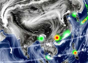
A physics-aware deep learning framework reconstructs a gapless, hourly tropospheric NO2 record over four Asian pollution hotspots from 2019 to ...

A six-year satellite analysis found that regional carbon monoxide emissions over Central Asia fell by nearly 38 percent between 2019 ...
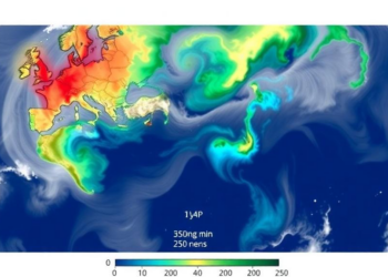
A systematic review of 50 studies finds that Sentinel-5P/TROPOMI supports pollution mapping and emission-change detection but should complement ground monitoring.
Satellite-based research from Johns Hopkins University shows U.S. oil and gas methane emissions stayed flat between 2019 and 2024 even ...
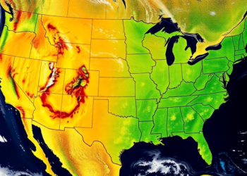
Satellite-based inverse modeling shows US oil and gas methane emission intensity fell about 11 percent from 2019 to 2024, but ...


Embark on a thrilling journey of discovery with Scienmag.com—your ultimate source for cutting-edge breakthroughs. Immerse yourself in a world where curiosity knows no limits and tomorrow’s possibilities become today’s reality!