

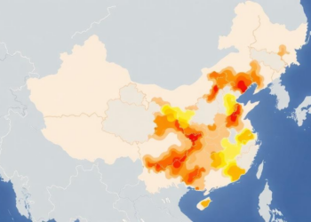
New Map of China’s Coasts Reveals Where Resilience Lives—and Fails
A new multiscale framework measures the general resilience capacity of China's coastal social-ecological systems, revealing clustered low-capacity zones nationwide and ...
A new multiscale framework measures the general resilience capacity of China's coastal social-ecological systems, revealing clustered low-capacity zones nationwide and ...

A new study combining mobile phone data, social media text mining and coupling coordination analysis finds that most of Shanghai's ...

A three-decade satellite-based assessment reveals that vegetation condition and annual precipitation are the dominant drivers of landscape ecological risk in ...
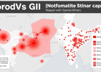
A geostatistical investigation of a 2025 diarrheal outbreak in Jehanabad, Bihar, identified Norovirus GII in patient samples and used spatial ...

A new eight-year study combining spatial statistics and the BenMAP model reveals how PM2.5 pollution has evolved across Central China ...

A machine-learning model that scored near-perfectly on a Chinese lead–zinc deposit collapsed when tested across a mirror-inverted fault system, revealing ...
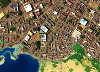
A 30-year satellite analysis of Nepal's Rupandehi District shows ecological quality improved overall despite a tenfold expansion of built-up area, ...

A study of vegetable farms in southwestern Nigeria finds cypermethrin residues exceed safety thresholds in most simulated child dietary exposure ...
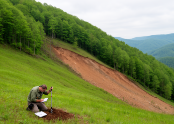
A rigorous spatial machine learning analysis of 571 landslides triggered by Norway's 2023 storm Hans shows that soil indicators and ...
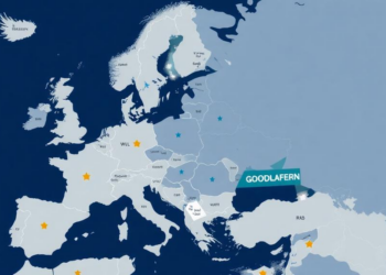
Researchers combined genomics-inspired biclustering with spatial autocorrelation analysis to sort 320 European regions into industrial leagues, revealing that employment strengths ...


Embark on a thrilling journey of discovery with Scienmag.com—your ultimate source for cutting-edge breakthroughs. Immerse yourself in a world where curiosity knows no limits and tomorrow’s possibilities become today’s reality!