

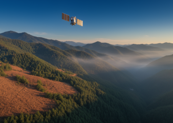
Satellites and Machine Learning Sharpen Fire Risk Maps in Mountainous China
A new study in Shanxi Province shows that combining satellite soil moisture, ERA5-Land reanalysis data, and XGBoost machine learning improves ...
A new study in Shanxi Province shows that combining satellite soil moisture, ERA5-Land reanalysis data, and XGBoost machine learning improves ...
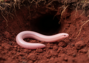
A fuzzy logic modeling study has mapped the hidden potential distribution of Brazil's elusive worm-lizard Leposternon polystegum, revealing that environmental ...

A two-season field experiment in Egypt found that halving nitrogen fertilizer barely changed tomato yields under shallow groundwater conditions but ...
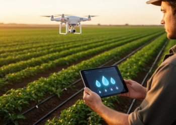
An Indian research team has built an edge-cloud irrigation system that combines ultra-low-power soil sensors, Gaussian differential privacy, and ensemble ...
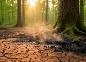
Machine learning models trained on a year of field data in China's Wuling Mountains reveal that deep soil temperature-moisture coupling, ...
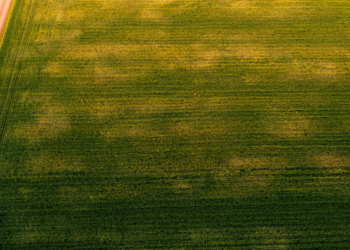
Researchers in Spain show that the standard deviation of satellite-derived NDVI, especially during crop senescence, offers a low-cost way to ...
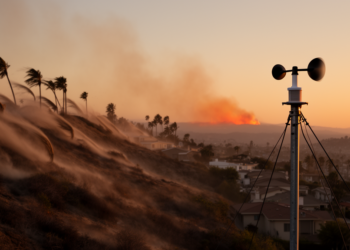
New early-online studies from American Meteorological Society journals link a rare Santa Ana wind subtype to the January 2025 Eaton ...

A new Nature Communications study finds that declining anthropogenic aerosol pollution, long acting to dampen flash drought development through temperature ...
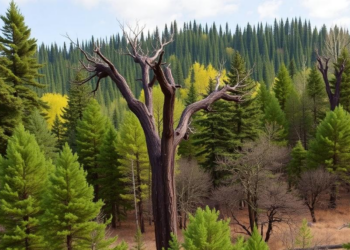
A satellite-based study shows that earlier spring green-up amplifies vegetation vulnerability to rapidly intensifying flash droughts across most of the ...
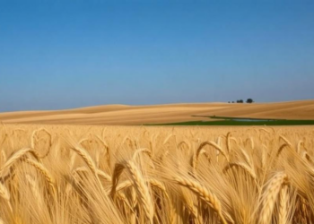
A year of continuous eddy covariance measurements and explainable machine learning above a Swiss winter wheat field shows that nitrous ...


Embark on a thrilling journey of discovery with Scienmag.com—your ultimate source for cutting-edge breakthroughs. Immerse yourself in a world where curiosity knows no limits and tomorrow’s possibilities become today’s reality!