

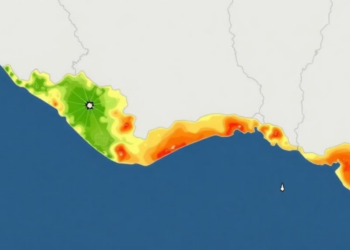
GIS Model Maps Flood Vulnerability Across Kerala’s Low-Lying Alappuzha Coast
A GIS-based multi-criteria decision analysis framework maps physical flood vulnerability across Alappuzha District, Kerala, and its predictions align strongly with ...
A GIS-based multi-criteria decision analysis framework maps physical flood vulnerability across Alappuzha District, Kerala, and its predictions align strongly with ...

A new review of 56 studies shows how satellites, drones and radar are transforming the fight against water hyacinth, one ...

A decade of Sentinel-1 radar observations shows that seasonal melt now reaches nearly all elevations in the Wrangell and St. ...
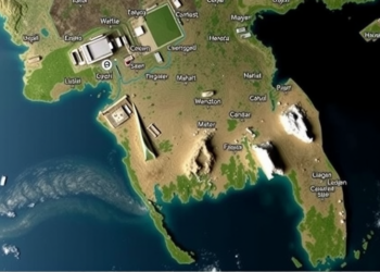
Satellite radar analysis shows the August 2024 flash floods in Bangladesh's Cumilla, Feni, and Noakhali districts inundated over 2,500 square ...
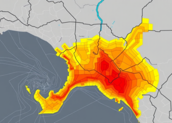
Researchers fused morphometric basin analysis with machine learning to map flood susceptibility across four Bayelsa State catchments, revealing hidden high-risk ...


Embark on a thrilling journey of discovery with Scienmag.com—your ultimate source for cutting-edge breakthroughs. Immerse yourself in a world where curiosity knows no limits and tomorrow’s possibilities become today’s reality!