

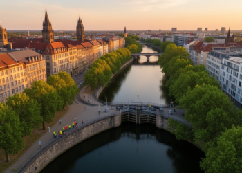
How Four Centuries of Human Engineering Tamed Leipzig’s Wild Rivers
By combining high-resolution LiDAR terrain data with maps spanning the sixteenth to twentieth centuries, researchers have shown that Leipzig's Elster–Pleiße ...
By combining high-resolution LiDAR terrain data with maps spanning the sixteenth to twentieth centuries, researchers have shown that Leipzig's Elster–Pleiße ...


Embark on a thrilling journey of discovery with Scienmag.com—your ultimate source for cutting-edge breakthroughs. Immerse yourself in a world where curiosity knows no limits and tomorrow’s possibilities become today’s reality!