

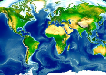
Satellites and Models Combine to Map River Depth and Flow Worldwide
A new satellite altimetry and modeling framework delivers global estimates of river discharge and mean depth at more than 26,000 ...
A new satellite altimetry and modeling framework delivers global estimates of river discharge and mean depth at more than 26,000 ...
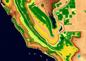
A new PLOS Water study combines Sentinel-2 satellite data, OpenET evapotranspiration estimates, and unsupervised machine learning to reveal 13 distinct ...

Researchers show that laser measurements of low cloud base height can be inverted to estimate the near-surface humidity over tropical ...
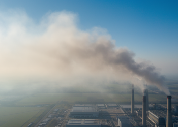
A machine learning analysis of over 6,000 power plants shows that identical emissions can be visible or invisible to satellites ...
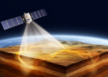
Researchers have devised an ensemble-based scheme that jointly updates soil temperature and moisture, turning fleeting satellite land surface temperature observations ...
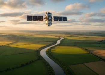
A new study shows that calibrating watershed models with downscaled, bias-corrected satellite soil moisture data dramatically improves the representation of ...

A decade of satellite observations shows that shoreline–sandbar systems follow deterministic but chaotic dynamics, explaining why beaches resist long-term prediction.
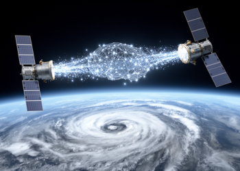
A new physics-constrained transfer learning framework lets AI retrieval algorithms trained on one weather satellite work accurately on another, improving ...
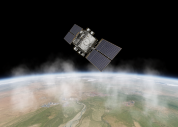
A new satellite study combining Sentinel-5P TROPOMI and NASA EMIT observations reveals rising methane concentrations across Pakistan and pinpoints oil ...
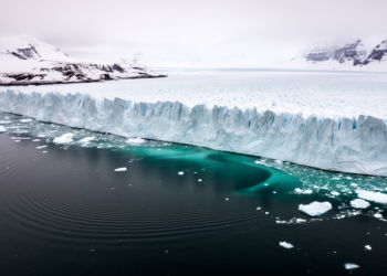
A new study finds that glaciers draining into Porpoise Bay in East Antarctica are thinning, retreating and speeding up as ...


Embark on a thrilling journey of discovery with Scienmag.com—your ultimate source for cutting-edge breakthroughs. Immerse yourself in a world where curiosity knows no limits and tomorrow’s possibilities become today’s reality!