

Vegetation-aware satellite assimilation improves soil moisture modeling
A vegetation-aware strategy combining L-, C- and X-band satellite soil-moisture data improved model accuracy by selecting observations according to canopy ...
A vegetation-aware strategy combining L-, C- and X-band satellite soil-moisture data improved model accuracy by selecting observations according to canopy ...
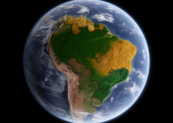
Satellite-derived vegetation structure has allowed scientists to map seven distinct ecosystem groups across north-east Brazil, aligning most with the IUCN ...
A new study in Shanxi Province shows that combining satellite soil moisture, ERA5-Land reanalysis data, and XGBoost machine learning improves ...

A year-long single-blind experiment in Arizona challenged twelve satellites and fifteen analysis teams to detect metered methane releases, revealing excellent ...

A satellite-based study shows that earlier spring green-up amplifies vegetation vulnerability to rapidly intensifying flash droughts across most of the ...

New scattering theory shows that very large, iron-rich desert dust particles produce lidar signals resembling pollution or smoke, potentially causing ...

New research shows that the interplay between the South Atlantic and continental high-pressure systems controls stratus altitude and determines whether ...

A simulation study shows that a proposed mid-infrared limb emission satellite concept could detect and quantify even tiny unilateral stratospheric ...
A sixteen-year fusion of satellite LiDAR and ocean-color data shows that high-latitude phytoplankton blooms are becoming asymmetric, with decline phases ...
A new satellite altimetry and modeling framework delivers global estimates of river discharge and mean depth at more than 26,000 ...


Embark on a thrilling journey of discovery with Scienmag.com—your ultimate source for cutting-edge breakthroughs. Immerse yourself in a world where curiosity knows no limits and tomorrow’s possibilities become today’s reality!