


Volcanic sulfur inventory for CMIP7 charts 274 years of eruptions
A new inventory of 463 explosive eruptions from 1750 to 2023, built for the CMIP7 climate model intercomparison, combines satellite ...
A new inventory of 463 explosive eruptions from 1750 to 2023, built for the CMIP7 climate model intercomparison, combines satellite ...
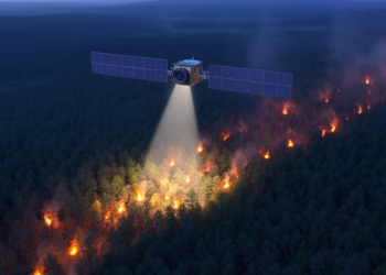
A new study quantifies the detection limits of MODIS and VIIRS fire radiative power products and builds observation operators showing ...

A 22-year satellite analysis reveals that marine heatwaves and the 2015–2016 El Niño cut net primary productivity in Mexico's Gulf ...

A qualitative study of UK-based geohazard remote sensing researchers finds widespread good intentions but a narrow understanding of research ethics, ...
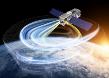
A thresholded and weighted RTTOV v13.1 scheme reduced simulation errors in FY-3F HIRAS-II’s strongest water-vapor channels and lowered peak-channel bias ...
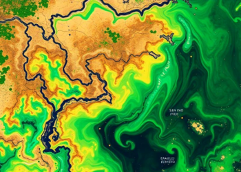
A vegetation-aware strategy combining L-, C- and X-band satellite soil-moisture data improved model accuracy by selecting observations according to canopy ...
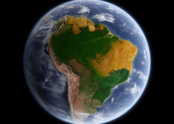
Satellite-derived vegetation structure has allowed scientists to map seven distinct ecosystem groups across north-east Brazil, aligning most with the IUCN ...
A new study in Shanxi Province shows that combining satellite soil moisture, ERA5-Land reanalysis data, and XGBoost machine learning improves ...
A year-long single-blind experiment in Arizona challenged twelve satellites and fifteen analysis teams to detect metered methane releases, revealing excellent ...
A satellite-based study shows that earlier spring green-up amplifies vegetation vulnerability to rapidly intensifying flash droughts across most of the ...


Embark on a thrilling journey of discovery with Scienmag.com—your ultimate source for cutting-edge breakthroughs. Immerse yourself in a world where curiosity knows no limits and tomorrow’s possibilities become today’s reality!