

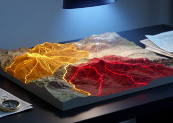
GIS and AHP Map Earthquake Risk in Eastern Anatolia
Researchers combined GIS and the Analytic Hierarchy Process to map earthquake risk in Turkey's Çemişgezek District, finding that danger concentrates ...
Researchers combined GIS and the Analytic Hierarchy Process to map earthquake risk in Turkey's Çemişgezek District, finding that danger concentrates ...

A Random Forest model built on satellite fire records shows that nearly 30 percent of forest in Nepal's mountainous Rasuwa ...
A decade-long ecological niche modeling study finds that human population density, far more than climate, determines where hantavirus-caused hemorrhagic fever ...
Researchers used compulsory veterinary notifications of the only licensed babesiosis treatment to map, with machine learning, how autumn cooling, atmospheric ...
A new review maps how GIS, GPS, and remote sensing are transforming veterinary disease surveillance while exposing deep gaps in ...
Researchers have combined biomarker-based biological indexing with machine learning to create reliable, transferable ecological risk zoning maps for soils contaminated ...

Embark on a thrilling journey of discovery with Scienmag.com—your ultimate source for cutting-edge breakthroughs. Immerse yourself in a world where curiosity knows no limits and tomorrow’s possibilities become today’s reality!