

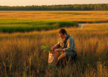
Fuel load and potential fire behavior vary seasonally and across grassland plant communities
A new study combined Sentinel-2 satellite data with field measurements to map grassland fuels at 10-meter resolution and model how ...
A new study combined Sentinel-2 satellite data with field measurements to map grassland fuels at 10-meter resolution and model how ...
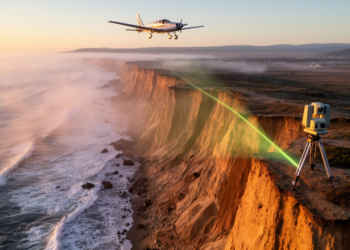
A new Scripps Institution of Oceanography lidar study measured California coastal cliff retreat between 2016 and 2023, identifying hotspots where ...
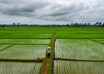
Radar time-series features from Sentinel-1 lifted land-cover classification in India's cloud-prone Cauvery Delta to 72 percent accuracy, with simple logistic ...
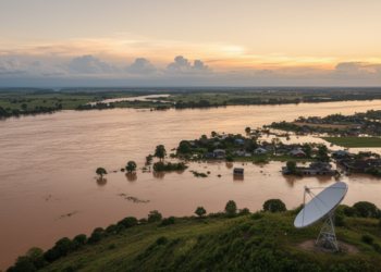
A new Sentinel-1 radar method using Z-score anomaly detection mapped the 2021 Weihui flood with about 90 percent accuracy in ...

A NASA-led team proposes a 3.3-micrometer pulsed lidar concept that, paired with a 2-micrometer pressure lidar, could measure column methane ...
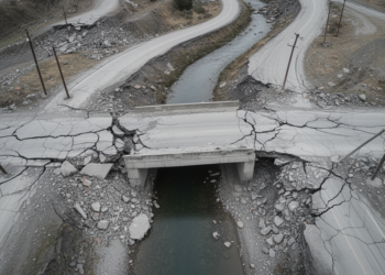
A deep learning framework trained on orthophotos from the 2011 Great East Japan Earthquake detected damaged roads and bridges with ...
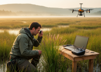
A new GIS-based survey maps 115 sedge taxa across Azerbaijan's landscapes and links their moisture-sensitive distribution to interannual temperature and ...

A bibliometric review of 382 publications maps the rapid growth, geographic concentration and thematic evolution of artificial intelligence research on ...
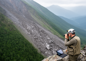
A geological-feature enhanced Cascade Mask R-CNN suppresses spectral confusion and class imbalance to recognize landslides in high-resolution satellite imagery, cutting ...
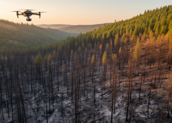
A case study of Oregon's 2020 Holiday Farm Fire found that the widely used dNBR burn-severity index captured broad fire-effect ...


Embark on a thrilling journey of discovery with Scienmag.com—your ultimate source for cutting-edge breakthroughs. Immerse yourself in a world where curiosity knows no limits and tomorrow’s possibilities become today’s reality!