

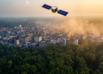
Satellites Reveal Three Decades of Warming as Sylhet’s Forests Give Way to Cities
A thirty-year satellite and field study of Bangladesh's Sylhet Division shows settlement expansion of nearly 192 percent, a quarter of ...
A thirty-year satellite and field study of Bangladesh's Sylhet Division shows settlement expansion of nearly 192 percent, a quarter of ...

A systematic review of 25 studies finds that satellite monitoring, machine learning, and blockchain cannot curb Ghana's galamsey crisis without ...
A machine-learning analysis of more than 900 snow penetration profiles in the Weddell Sea shows that Antarctic sea ice snowpacks ...
A new feasibility study shows that near-infrared FTIR spectroscopy of sky-scattered sunlight could enable continuous monitoring of volcanic halogen gases, ...
A global satellite-based analysis finds that croplands converted from wetlands since 2000 contribute only 0.1 percent of world crop production ...
A 40-year global analysis shows that rising vapor pressure deficit increases evapotranspiration across about 61 percent of land but suppresses ...
A new dataset of 3,493 measured trees across four African countries links satellite-observable crown sizes to trunk diameters, enabling carbon ...
During its August 2024 lunar-Earth gravity assist, ESA's Juice spacecraft used its Submillimetre Wave Instrument to observe Earth as a ...
A three-decade study of Asansol, West Bengal, links the city's halving of green cover to measurable losses in resident wellbeing, ...
Researchers have built a rigorously verified dataset of 12,991 satellite-annotated samples documenting four decades of stable, disturbed and newly forested ...

Embark on a thrilling journey of discovery with Scienmag.com—your ultimate source for cutting-edge breakthroughs. Immerse yourself in a world where curiosity knows no limits and tomorrow’s possibilities become today’s reality!