

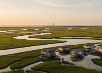
Satellite Radar Maps of a Sinking Gulf Coast Tell Conflicting Stories
A new comparison of two satellite radar datasets along the central U.S. Gulf Coast reveals they barely agree outside dense ...
A new comparison of two satellite radar datasets along the central U.S. Gulf Coast reveals they barely agree outside dense ...

A systematic review of 147 studies finds that accurate forest carbon accounting depends on integrating field measurements, remote sensing, and ...
A seven-decade study shows all 28 glaciers on Chile's Nevados de Chillán volcanic complex are losing volume, with melt rates ...
A four-year study of California's 2020 Lake Fire shows that post-fire debris flow risk swings dramatically between wet and dry ...
Researchers have combined fifteen years of ASCAT satellite radar data with firn and radiative transfer models to infer effective grain ...
A year-long Danish campaign mounted Doppler wind lidars on a crew transfer vessel and a transformer platform to capture Kelvin-Helmholtz ...
A biogeochemical model study shows that deeper winter mixing boosts subantarctic productivity by relieving iron limitation and suppressing grazing, explaining ...
A new 108-million-pixel hyperspectral benchmark called HyBEAR provides expert-verified, parcel-level bare soil labels and a standardized validation protocol to accelerate ...
A nine-year comparison with Sentinel-1 radar and drifting buoys shows the NSIDC Antarctic sea ice drift product underestimates ice speed ...
A new robust statistical framework applied to Landsat data from interior Alaska shows that most burn scars fade spectrally within ...

Embark on a thrilling journey of discovery with Scienmag.com—your ultimate source for cutting-edge breakthroughs. Immerse yourself in a world where curiosity knows no limits and tomorrow’s possibilities become today’s reality!