


High-Resolution Satellite Data Outperforms Coarse Maps for Rangeland Fire Planning
High-resolution satellite imagery significantly outperforms coarse maps for planning and assessing prescribed fires in sagebrush rangelands, according to a new ...
High-resolution satellite imagery significantly outperforms coarse maps for planning and assessing prescribed fires in sagebrush rangelands, according to a new ...
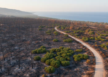
Object-based machine-learning models mapped burned forests from Sentinel-2 imagery, retaining overall accuracies above 83% in transfer tests at selected Mediterranean ...
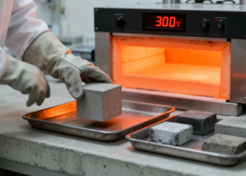
New experiments show cement mortar heated to 300 degrees Celsius can gain shear stiffness when cooled slowly in air, but ...


Embark on a thrilling journey of discovery with Scienmag.com—your ultimate source for cutting-edge breakthroughs. Immerse yourself in a world where curiosity knows no limits and tomorrow’s possibilities become today’s reality!