

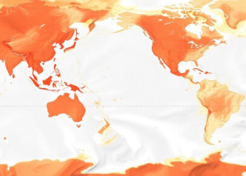
Open-source R package streamlines spatial ocean data mapping
The open-source R package oceandatr retrieves and standardizes spatial ocean datasets for preparation, analysis and mapping.
The open-source R package oceandatr retrieves and standardizes spatial ocean datasets for preparation, analysis and mapping.

Researchers at the University of Extremadura have released EvaluAI, an open-source platform that uses large language models to grade free-text ...
A new open-source QGIS plugin called Iterative Density Analysis automates statistically correct kernel density estimation across hundreds of polygons, fixing ...
New open-source software uses deep learning to automate the quantitative assessment of Fusarium root rot in cereal seedlings, overcoming the ...
Japanese researchers have developed TAME-Q, an open-source pipeline that automates reproducible semi-quantification of florzolotau (18F) tau PET scans and matches ...
sitemix, a new open-source R package, computes site- and group-level proportions and standard errors from individual records or published counts, ...
Researchers at Virginia Tech and NASA Ames have launched AI², a free open-source web tool that lets astrobiologists train and ...
A new open-source graphical application called SpectroElectroChem Suite automates reproducible analysis of spectro-electrochemical and rotating ring-disk electrode data, replacing error-prone ...
An open-source MATLAB pipeline now synchronizes EEG-based cyclic alternating pattern detection with heart rate variability analysis in a single automated ...
Researchers at DFKI and the University of Bremen present new pytransform3d features for transformation graphs, uncertainty propagation, and 3D visualization, ...

Embark on a thrilling journey of discovery with Scienmag.com—your ultimate source for cutting-edge breakthroughs. Immerse yourself in a world where curiosity knows no limits and tomorrow’s possibilities become today’s reality!