


Shanghai study links land cover with relative summer surface heat
A four-summer Landsat study of Shanghai found that built-up land consistently occupied the warmest relative thermal positions, while NDBI made ...
A four-summer Landsat study of Shanghai found that built-up land consistently occupied the warmest relative thermal positions, while NDBI made ...

A new review of 56 studies shows how satellites, drones and radar are transforming the fight against water hyacinth, one ...

High in the southeastern highlands of Ethiopia, the Bale Mountains rise through an extraordinary ladder of life: dense montane forest ...
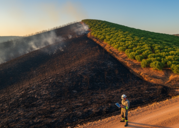
A field study in a fire-scarred Turkish Pinus brutia forest shows that the Sentinel-2 indices dNBR, RdNBR, and NDVI each ...

Researchers showed that simple curve-based rules applied to freely available Sentinel-2 and Sentinel-1 satellite data can accurately retrieve five key ...

Researchers in Lucknow, India, combined free Sentinel-2 satellite phenology, MaxEnt habitat modelling and Google Street View checks to locate and ...
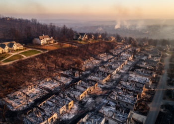
A spatially validated GeoAI analysis of 12,081 damage inspections from the 2025 Palisades Fire finds neighborhood building density was the ...
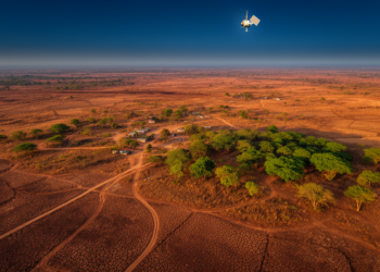
A 35-year satellite analysis of Wudil, Nigeria, links a 1.8 °C temperature rise, a 15 percent rainfall decline, and a ...

A systematic search of more than a thousand candidate vegetation indices found that a simple four-band formula outperforms NDVI for ...
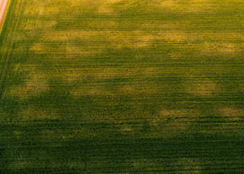
Researchers in Spain show that the standard deviation of satellite-derived NDVI, especially during crop senescence, offers a low-cost way to ...


Embark on a thrilling journey of discovery with Scienmag.com—your ultimate source for cutting-edge breakthroughs. Immerse yourself in a world where curiosity knows no limits and tomorrow’s possibilities become today’s reality!