


Random Forest Model Predicts Gold Prospectivity Across Northern Peru Exploration Zones
Researchers modeled gold prospectivity across northern Peru by integrating multispectral imagery, geological records, and spatial machine learning algorithms.
Researchers modeled gold prospectivity across northern Peru by integrating multispectral imagery, geological records, and spatial machine learning algorithms.

Researchers developed a modified semantic segmentation network combining six-band drone multispectral imagery to map fragmented patches of the poisonous weed ...

Combining multispectral imagery with synthetic canopy height models allowed deep learning detectors to reduce tree identification errors by up to ...

Researchers tracked architectural and phenological dynamics across individual European beech trees in central Italy using multi-temporal drone lidar and multispectral ...

A remote sensing investigation in Tibet demonstrates that drone imagery can estimate forage carbon, nitrogen, and phosphorus concentrations, though retrieval ...

Satellite tracking of 26 post-mining lakes in Western Poland revealed an overall surface area decrease between 2016 and 2025, alongside ...

A dual-branch deep learning framework called MAG-Net fuses Sentinel-1 radar and Sentinel-2 optical imagery over Hudson Bay, reaching 96.69% mean ...
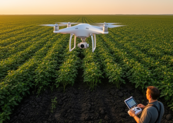
A two-flight UAV framework combining pre-season bare-soil imagery with pod-filling canopy indices modestly improved field-scale soybean yield prediction in Northeast ...
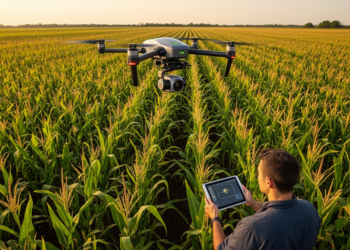
A 2025 Shandong field study found that attention-guided feature selection enabled a UAV random forest to estimate maize maturity with ...
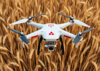
Researchers in China have developed a label-free temporal weighting method that fuses multispectral drone imagery from three wheat growth stages, ...


Embark on a thrilling journey of discovery with Scienmag.com—your ultimate source for cutting-edge breakthroughs. Immerse yourself in a world where curiosity knows no limits and tomorrow’s possibilities become today’s reality!