

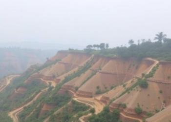
Simple Statistical Models Outperform in Mapping Landslide Danger in Northeast India
A new study of the Dikhow River Basin in Northeast India shows that a simple frequency ratio model outperformed the ...
A new study of the Dikhow River Basin in Northeast India shows that a simple frequency ratio model outperformed the ...

A dual-branch deep learning framework that fuses local terrain characteristics with surrounding spatial context has achieved record accuracy in mapping ...
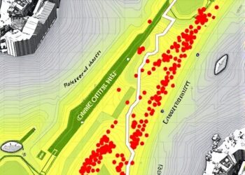
In the steep, rain-battered valleys of the Italian Alps, a team of researchers has demonstrated that landslide hazard maps should ...

A new study suggests that landslide risk in the United States is not just a question of steep terrain—it is ...

Over the past two decades, the scientific community has witnessed a dramatic transformation in the study of how land use ...

In a groundbreaking study that fuses cutting-edge geospatial analytics with the transformative capabilities of eXplainable Artificial Intelligence (XAI), researchers Shetkar, ...


Embark on a thrilling journey of discovery with Scienmag.com—your ultimate source for cutting-edge breakthroughs. Immerse yourself in a world where curiosity knows no limits and tomorrow’s possibilities become today’s reality!