

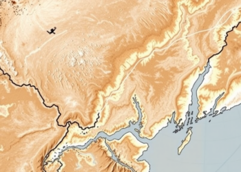
Satellites Reveal How Salt Is Quietly Reshaping China’s Yellow River Delta
A new satellite-based index that distinguishes salty from fresh soil moisture reveals four decades of hidden ecological change in the ...
A new satellite-based index that distinguishes salty from fresh soil moisture reveals four decades of hidden ecological change in the ...

University of British Columbia researchers have developed satellite-based heat mapping and shade modelling tools that show cities exactly where tree ...
A Dartmouth-led analysis of four decades of Landsat imagery shows that 69 percent of alpine zones in the northern Appalachians ...
A twenty-year Landsat analysis of Adama, Ethiopia, shows built-up land surging 43 percent while wetlands vanished and rising minimum surface ...
A 22-year satellite and field study of Cameroon's Santchou Wildlife Reserve shows mature forest collapsing under agricultural pressure, reveals which ...
A satellite study of the Alaknanda Basin reveals that glacial lakes in the northern Indian Himalayas have multiplied and expanded ...
A thirty-year satellite analysis shows vegetation in Sudan's conflict-affected Jabel Marra highlands has grown significantly greener, driven mainly by precipitation ...
A combined satellite and field study at Penn State's Blue and White Golf Course reveals that course management practices, not ...
A 22-year Landsat analysis shows Jammu City's built-up area grew 75 percent while farmland and dense vegetation steadily vanished.

Embark on a thrilling journey of discovery with Scienmag.com—your ultimate source for cutting-edge breakthroughs. Immerse yourself in a world where curiosity knows no limits and tomorrow’s possibilities become today’s reality!