

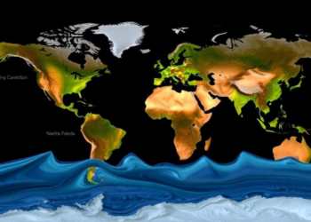
Satellites Map When Rivers Peak: Global Flood Timing Is Shifting Unevenly
A new satellite altimetry study has produced the first global map of river flood peak timing, revealing earlier peaks at ...
A new satellite altimetry study has produced the first global map of river flood peak timing, revealing earlier peaks at ...

A watershed-scale field trial in Vermont shows that crushed basalt begins exporting carbon-removal alkalinity to streams within weeks, with strong ...
A Norwegian study shows that a deep learning LSTM network outperforms the country's operational HBV model in simulating both snowmelt- ...
A 26-year analysis shows that upstream Everglades groundwater is driven by managed freshwater flows while coastal aquifers increasingly answer to ...
A two-year validation study in Trinidad's Northern Range shows that the IMERG satellite product detects far more rainfall events and ...
Penn State researchers adapted diffusion-based generative AI techniques from image generation to build an hourly flood forecasting model trained on ...
New SWOT satellite measurements reveal that machine learning river models fail most severely on dammed, arid-region, and Arctic rivers, challenging ...
A thirty-year analysis of six Brazilian cities shows that solar radiation and wind speed, not air temperature, govern reference evapotranspiration, ...
A 35-year statistical analysis of satellite rainfall data shows Warangal district in Telangana is experiencing significant increasing rainfall trends punctuated ...
A physics-guided graph neural network with an extended LSTM backbone achieved year-long daily runoff forecasts on the middle Yellow River, ...

Embark on a thrilling journey of discovery with Scienmag.com—your ultimate source for cutting-edge breakthroughs. Immerse yourself in a world where curiosity knows no limits and tomorrow’s possibilities become today’s reality!