

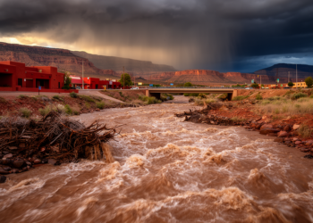
TORRENT dataset unites scattered flash-flood records across the United States
A new community dataset called TORRENT links 42,466 reported flash-flood episodes with stream gauges, watersheds, and rainfall data across the ...
A new community dataset called TORRENT links 42,466 reported flash-flood episodes with stream gauges, watersheds, and rainfall data across the ...
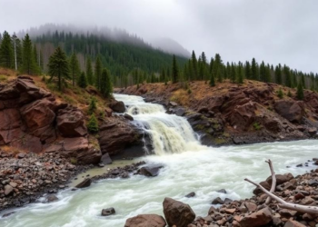
A sweeping review of 1,967 studies shows mountain flash floods are state-dependent events that demand coordinated portfolios of warning, planning, ...
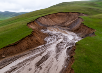
New research shows that tiny areas of abrupt permafrost thaw on the Tibetan Plateau deliver four times more sediment to ...
A study in Theoretical and Applied Climatology by Peter Nojarov and colleagues at the Climate, Atmosphere and Water Research Institute ...

A new study of Swiss catchments shows that deterministic LSTMs underestimate 97 percent of the most extreme floods, while probabilistic ...
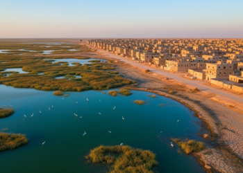
The distinction between deep water and shallow water classes in the Bahr Al-Najaf classification scheme reflects a challenge familiar to ...

A free interactive web application distills a 20-member ensemble of global hydrological models into maps and percentile charts that reveal ...
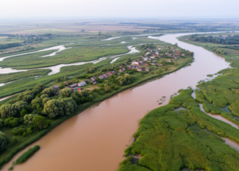
A new 2D hydraulic modeling study maps how 10-, 100- and 1,000-year floods could spread across the Danube Delta, revealing ...
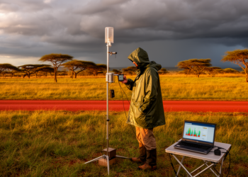
A comprehensive evaluation of four satellite rainfall products against 34 ground stations in Zambia reveals that RFEv2 excels at daily ...
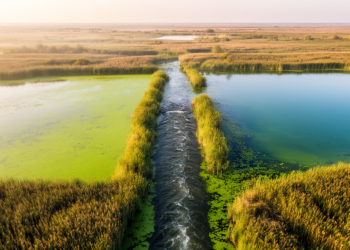
A five-year study of two Danube Delta lakes reveals how hydrological connectivity controls nutrient dynamics and eutrophication risk.


Embark on a thrilling journey of discovery with Scienmag.com—your ultimate source for cutting-edge breakthroughs. Immerse yourself in a world where curiosity knows no limits and tomorrow’s possibilities become today’s reality!