


Modeling the 2000 Yigong outburst flood reveals how valley shape steered a megaflood
A new HEC-RAS simulation of the 2000 Yigong River outburst flood on the Tibetan Plateau reconstructs a peak discharge of ...
A new HEC-RAS simulation of the 2000 Yigong River outburst flood on the Tibetan Plateau reconstructs a peak discharge of ...

Researchers in Chilean Patagonia have documented previously undescribed alluvial fan-deltas in Comau Fjord and propose a new classification, the Tidally ...
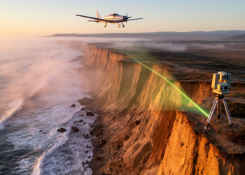
A new Scripps Institution of Oceanography lidar study measured California coastal cliff retreat between 2016 and 2023, identifying hotspots where ...
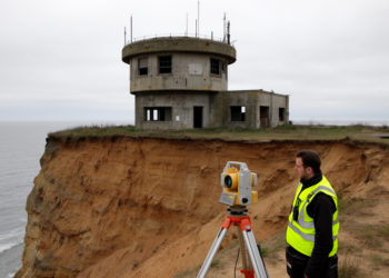
Researchers laser-scanned the collapsed Tunstall Royal Observer Corps monitoring post on the Holderness Coast the same day it was found ...
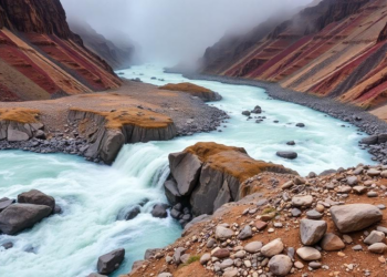
Sedimentary and hydraulic evidence from southeastern Tibet reveals three Holocene outburst floods on the Yigong River with peak discharges reaching ...
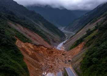
An expert-based AHP model in a GIS environment classifies nearly 30 percent of the NH 505 corridor in Himachal Pradesh ...
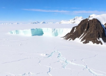
A geomorphic reconstruction indicates that an ice shelf spanning about 150,000 square kilometres of Baffin Bay stabilized three adjacent ice ...
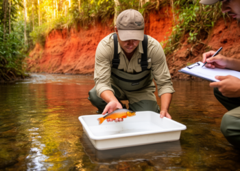
An analysis of 16,014 records representing 905 fish species from the Colombian Western Amazon found strong associations between species composition, ...
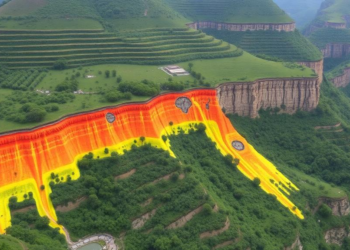
A new study in Kerala's Western Ghats shows a Random Forest machine learning model, validated with an AUC of 0.99, ...
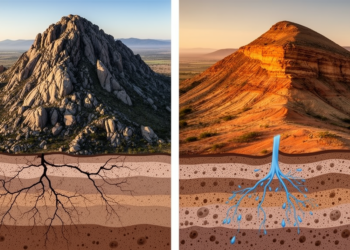
A new comparative study of the Ethiopian Highlands and South Africa's Drakensberg–uThukela region shows that the landscape itself can reveal ...


Embark on a thrilling journey of discovery with Scienmag.com—your ultimate source for cutting-edge breakthroughs. Immerse yourself in a world where curiosity knows no limits and tomorrow’s possibilities become today’s reality!