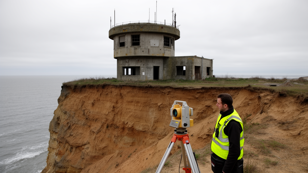
A Cold War-era underground monitoring post on England’s Holderness Coast has collapsed onto the beach, and researchers have captured its ruined condition in a detailed laser-scanning dataset. The Tunstall Royal Observer Corps monitoring post, a small structure progressively exposed as the soft cliffs retreat, was discovered toppled by local residents on the morning of 23 January 2026. Surveyors reached the site the same day to record what remained before further erosion could destroy it.
The survey is described in a data note published in the Springer journal Discover Hazards on 21 September 2026. The instrument was deployed from seven positions along the cliff top and beachfront, and the resulting aligned point cloud contains approximately 274.7 million points. It captures both the collapsed structure and the surrounding geomorphology of the eroding coast.
According to the data note, the objective of the survey was to generate a detailed archival record of the post-collapse condition before subsequent damage from ongoing coastal erosion. Rapid soft-cliff erosion along the Holderness Coast continues to claim infrastructure, including buildings of local historical interest, and the monitoring post’s collapse is the latest such loss.
The scans also form part of a wider body of work drawing on volunteered geographic information to visualise geomorphological change between December 2025 and January 2026. By combining community observations with high-resolution survey data, the project documents how quickly the soft East Yorkshire coastline is reshaping itself and what disappears in the process.
Subject of Research: A terrestrial laser scanning dataset documenting the post-collapse condition of a Cold War monitoring post exposed by coastal erosion on the Holderness Coast.
Article Title: Documenting the coastal erosion-driven collapse of a Cold War underground monitoring station via laser scanning
Article References: Tonkin, T., & Tonkin, L. (2026). Documenting the coastal erosion-driven collapse of a Cold War underground monitoring station via laser scanning. Discover Hazards, 2(1), Article 63. https://doi.org/10.1007/s44475-026-00068-7
Image Credits: AI Generated
DOI: 10.1007/s44475-026-00068-7
Keywords: coastal erosion, Holderness Coast, terrestrial laser scanning, point cloud, Cold War, Royal Observer Corps, Tunstall, geomorphology, volunteered geographic information, data note, Documenting, coastal
Cite Scienmag News
Violet Maxwell. (October 28, 2026). Laser Scans Record Collapse of Cold War Monitoring Post on Eroding UK Coast. Scienmag. https://scienmag.com/laser-scans-record-collapse-of-cold-war-monitoring-post-on-eroding-uk-coast/
Violet Maxwell. "Laser Scans Record Collapse of Cold War Monitoring Post on Eroding UK Coast." Scienmag, 28 October 2026, https://scienmag.com/laser-scans-record-collapse-of-cold-war-monitoring-post-on-eroding-uk-coast/. Accessed 28 October 2026.
Violet Maxwell. "Laser Scans Record Collapse of Cold War Monitoring Post on Eroding UK Coast." Scienmag. October 28, 2026. https://scienmag.com/laser-scans-record-collapse-of-cold-war-monitoring-post-on-eroding-uk-coast/