

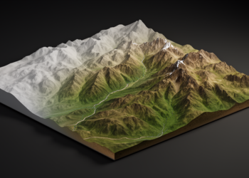
Diffusion model refines coarse elevation data into sharper terrain maps
A new conditional diffusion model called DSR-STRDiff reconstructs high-resolution elevation data from coarse inputs, reporting the best metrics among compared ...
A new conditional diffusion model called DSR-STRDiff reconstructs high-resolution elevation data from coarse inputs, reporting the best metrics among compared ...

A systematic review of 187 papers reveals that 3D path planning for autonomous agricultural machinery is expanding rapidly into rugged ...

Researchers applied classical differential geometry to Oregon Coast Range topography, revealing that curvature invariants computed on true 3-D surfaces cleanly ...
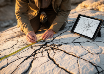
A new benchmark dataset of nearly 9,000 drone-image patches shows deep learning models dramatically outperform classical image filters in automatically ...
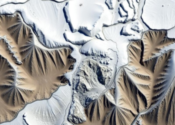
A five-decade satellite record shows glaciers in India's Bhilangana Valley losing mass up to five times faster than in the ...

A new study in Nature Cities uses topographic accessibility modeling to show how terrain shaped the size, placement, and organization ...


Embark on a thrilling journey of discovery with Scienmag.com—your ultimate source for cutting-edge breakthroughs. Immerse yourself in a world where curiosity knows no limits and tomorrow’s possibilities become today’s reality!