

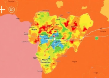
Mapping Flood Danger: Simple GIS Model Predicts Where Nigerian City Will Drown
Researchers in Nigeria combined satellite data with a structured expert-weighting method to map flood susceptibility across Makurdi, finding that over ...
Researchers in Nigeria combined satellite data with a structured expert-weighting method to map flood susceptibility across Makurdi, finding that over ...
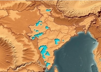
Researchers combined satellite imagery, GIS mapping and the Analytical Hierarchy Process to produce the first groundwater potential map of Mahoba ...
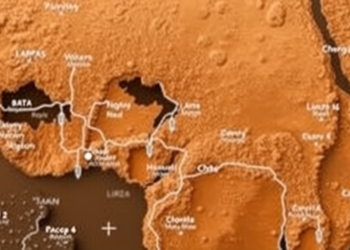
An integrated geophysical and GIS study has mapped groundwater potential across Nigeria's conflict-prone Benue Valley, identifying 417 square kilometers of ...

A new multicriteria decision-making framework compares conventional drainage, rainwater harvesting and detention basins, revealing oversizing in design standards and hidden ...


Embark on a thrilling journey of discovery with Scienmag.com—your ultimate source for cutting-edge breakthroughs. Immerse yourself in a world where curiosity knows no limits and tomorrow’s possibilities become today’s reality!