


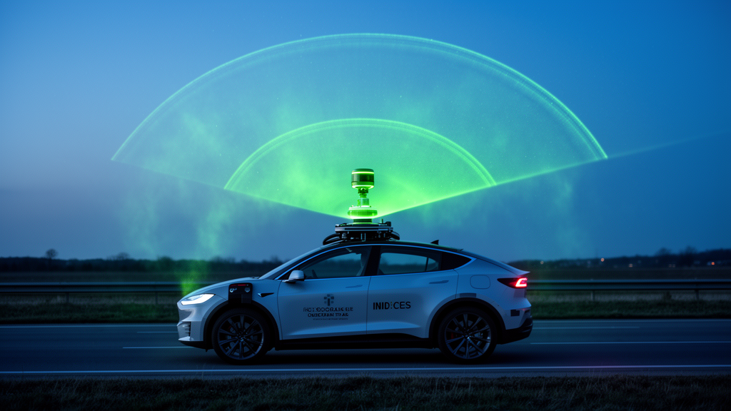
A team of researchers in Hefei, China, has now built a system that chases them autonomously, mounting a compact Mie-scattering LiDAR on a small electric unmanned vehicle and letting an onboard autonomous-driving stack plan and execute the route. The work, published in Atmospheric Measurement Techniques, describes an intelligent cruise detection system that can profile aerosols vertically, scan the atmosphere in three dimensions, and drive itself through a research park while collecting data continuously. The motivation is practical.
Existing mobile aerosol detection platforms, whether vehicle-mounted or shipborne, depend on human operators who must remain at the controls for the duration of a monitoring campaign. Long cruise detections drain operator energy and drive up labor costs, and in environments with high concentrations of toxic pollutants, prolonged exposure can cause irreversible harm to the people doing the monitoring. Fixed ground-based LiDAR stations avoid those hazards but capture only a single vertical column above the instrument, leaving horizontal coverage thin.
The Hefei team, led by Hao Yang of Hefei University with corresponding authors Duoyang Qiu and Zhiyuan Fang, set out to remove the human from the loop while keeping the spatial reach of a mobile platform. The system is built from four modules integrated into a small electric unmanned vehicle. A control module, containing an industrial controller, a computing platform, a vehicle controller and a gateway, acts as the brain.
The computing platform runs the Baidu Apollo autonomous driving system, receiving localization and environmental data and computing the gear ratio, velocity parameters and braking force needed at each moment. An environment sensing and positioning module pairs a 16-line vehicle LiDAR, which has a maximum detection range exceeding 150 meters, a ranging accuracy of plus or minus 2 centimeters and a point cloud output rate of up to 320,000 points per second, with a binocular stereo camera and an integrated navigation system combining GPS and inertial navigation. The camera serves only as a low-frequency auxiliary sensor; the 16-line LiDAR and navigation unit carry the primary perception load.
A wire control chassis module handles braking, drive and steering through a CAN bus connection. On top of the vehicle sits the aerosol detection module: a portable Mie-scattering LiDAR measuring just 200 by 200 by 420 millimeters, weighing 13.5 kilograms and consuming less than 100 watts. Its transmitter is an Nd:YAG solid-state laser emitting eye-safe 1064-nanometer infrared pulses at a repetition frequency of 10 kilohertz with a single-pulse energy of 15 microjoules.
Backscattered light collected by the receiving telescope is split by a polarization prism into two channels, allowing aerosol depolarization measurements, and focused onto avalanche photodiodes for photoelectric conversion. The instrument has a range resolution of 7.5 meters and 1,800 acquisition channels. Although its theoretical maximum detection altitude is 13.5 kilometers, laser energy attenuation during long-term observation limits the practical effective vertical detection altitude to a level that stably exceeds 2.5 kilometers, which the team notes is sufficient for vertical pollutant detection in industrial parks.
The physics of the measurement follows standard LiDAR practice. Laser pulses attenuate along their propagation path through atmospheric extinction; a fraction is backscattered by aerosol particles and air molecules and returns along the original path, attenuated once more on the way back. The received backscattered signal at each height is described by the LiDAR equation, in which the signal depends on the backscattering and extinction coefficients of molecules and aerosols.
In this study the raw signals are processed mainly by range-squared correction to produce a Range-Corrected Signal, or RCS, which qualitatively reflects trends in aerosol concentration and vertical distribution. In the atmospheric boundary layer, where the observations focus, Rayleigh scattering from molecules is generally weaker and Mie scattering from particles dominates under high aerosol loading. Driving the vehicle safely is framed as an optimal control problem.
Because experiments run at low speed with all wheels rolling, the team ignored vehicle dynamics and lateral forces, working from a kinematic model in which the state variables are the position, velocity, acceleration, heading angle and equivalent front-wheel swing angle of the rear-axle center point, and the control variables are the acceleration rate and the angular velocity of the front-wheel swing. Obstacle avoidance is enforced by geometric constraints: the vehicle contour is represented as an enlarged rectangle surrounded by a safety threshold, and every obstacle point must remain outside that rectangle throughout the planned trajectory. Physical constraints on maximum speed, steering angle and acceleration, together with boundary conditions requiring the vehicle to be stationary at the start and end of each maneuver, complete the constraint set.
To solve this problem the researchers used the segmented Gaussian pseudo-spectral method, which discretizes the continuous optimization at Legendre-Gauss collocation points, approximates the state and control variables with Lagrange interpolation polynomials, and converts the differential equation constraints into algebraic ones. The result is a nonlinear programming problem of the Bolza type, whose performance index the algorithm minimizes while satisfying all constraints. The objective in these experiments was to minimize total travel time, subject to the kinematic equations, the obstacle-avoidance geometry and the vehicle's physical limits.
Simulation and emulation of the planned path, including cornering and avoidance of two test obstacles, confirmed that the vehicle could cruise safely along the planned route before the real-world trial began. Three sets of field experiments tested the concept in Hefei. In continuous vertical detection on 24 February 2025, the LiDAR showed a near-surface aerosol layer persisting at roughly 1.5 kilometers, with high signal intensity below 1 kilometer that gradually decreased between 06:00 and 17:00 UTC and recovered to about 0.5 watts per square kilometer after 17:00 UTC; clouds appeared at 2 to 2.5 kilometers.
Hourly ground-station data from the same day tracked these changes closely: PM2.5 and PM10 concentrations exceeded 100 micrograms per cubic meter from 00:00 to 05:00 UTC with PM2.5/PM10 ratios near 0.8, indicating locally dominated fine particulate pollution, then fell to minima of 23 and 56 micrograms per cubic meter at 10:00 UTC before rebounding in the afternoon. Comparison with MERRA-2 reanalysis data, which captured a regional pollution episode from 22 to 24 February and a northwest-to-southeast plume transport on the 23rd, showed consistency in main aerosol layer height and signal trends, though the reanalysis product's coarser resolution could not resolve the fine vertical structure the LiDAR recorded. Cone-scanning experiments on 28 February and 5 and 6 March 2025 rotated the LiDAR gimbal through a full 360 degrees of azimuth at a fixed 75-degree elevation angle with a 1-degree step, completing a scan in about one hour and sampling the atmosphere out to a 2.5-kilometer radius.
On the cloudy day, continuous cloud echoes appeared at 2 kilometers in the southeast azimuth with only sparse aerosol plumes above. On the polluted day, thin clouds spread at 0.85 to 1.5 kilometers and aerosol plumes extended around much of the scanning circumference with elevated near-ground signals. On the clean day, no concentrated cloud or aerosol signals appeared anywhere in the field of view.
Finally, an unmanned cruise experiment on 26 February, run near a laboratory building with the vehicle in autopilot, showed the near-surface pollution layer confined below 0.3 kilometers, with the range-corrected signal falling from 0.8 to 0.2 watts per square kilometer along the route as the vehicle moved, and the aerosol layer rising to 0.5 kilometers late in the run as the boundary layer deepened. That day the city's air quality index stood at 115, with PM2.5 at 80 and PM10 at 100 micrograms per cubic meter. The authors are candid about the system's limits.
Rain and snow cause intense Mie scattering and absorption of the laser pulses, degrading the signal-to-noise ratio and shortening the effective detection range, and the platform has not yet undergone water and dust resistance certification, so operation during continuous precipitation carries risk. Vibrations during cruising can misalign the transmitting and receiving optical paths, introducing non-aerosol fluctuations in the range-corrected signal, which is why the team kept speeds at or below 1.0 meter per second and plans to add an active vibration-damping platform. The path planning algorithm also does not yet adapt to complex traffic conditions, and extensive road testing remains ahead.
Within those boundaries, the experiments demonstrate that an autonomous electric platform carrying a compact aerosol LiDAR can deliver the vertical profiles, three-dimensional scans and geolocated cruise measurements that fixed stations and crewed vehicles have struggled to combine, offering a template for unmanned, long-duration regional pollution monitoring.
Subject of Research: An autonomous vehicle-mounted LiDAR system for unmanned mobile detection of atmospheric aerosols
Article Title: A new method for detecting aerosols: combining atmospheric detection LiDAR technology with intelligent driving technology
Article References: Yang, H., Zhu, X., Qiu, D., Li, X., Kuang, Z., Fang, Z., & Hu, Y. (2026). A new method for detecting aerosols: combining atmospheric detection LiDAR technology with intelligent driving technology. Atmospheric Measurement Techniques, 19(20), 6743-6756. https://doi.org/10.5194/amt-19-6743-2026
Image Credits: AI Generated
Keywords: aerosol detection, LiDAR, autonomous driving, unmanned vehicle, Mie scattering, path planning, Gaussian pseudo-spectral method, air quality, vertical profiling, cone scanning, pollution monitoring, atmospheric boundary layer
Cite Scienmag News
Russell Cooper. (October 27, 2026). Self-driving vehicle carries LiDAR to map aerosols in three dimensions. Scienmag. https://scienmag.com/self-driving-vehicle-carries-lidar-to-map-aerosols-in-three-dimensions/
Russell Cooper. "Self-driving vehicle carries LiDAR to map aerosols in three dimensions." Scienmag, 27 October 2026, https://scienmag.com/self-driving-vehicle-carries-lidar-to-map-aerosols-in-three-dimensions/. Accessed 27 October 2026.
Russell Cooper. "Self-driving vehicle carries LiDAR to map aerosols in three dimensions." Scienmag. October 27, 2026. https://scienmag.com/self-driving-vehicle-carries-lidar-to-map-aerosols-in-three-dimensions/


