


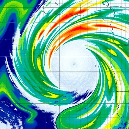
When a hurricane approaches the coast, the most urgent question is often how high the water will rise. That number drives evacuation orders, flood maps, building standards, and public warnings. But a new study from Virginia Tech suggests that peak water level captures only one part of the danger. The speed at which storm surge develops, the length of time it remains elevated, and the rate at which it drains can determine whether a road is briefly flooded or remains impassable for days, whether dunes survive, and whether emergency crews can reach damaged communities.
Storm surge is the abnormal rise in sea level caused primarily by a tropical cyclone’s winds pushing ocean water toward the coast, with atmospheric pressure and coastal geometry adding to the effect. As the surge moves across shallow continental shelves, through bays, and around headlands, it can intensify, spread, or persist long after the storm’s strongest winds have passed. These processes mean that two hurricanes with similar wind speeds can create completely different flooding timelines. One may produce a sharp, short-lived rise, while another may generate a slower buildup followed by prolonged inundation.
In a study published in Coastal Engineering, Virginia Tech researchers analyzed the evolution of storm surge rather than focusing only on its maximum height. Doctoral researcher Atefeh Alipour led the work with Jennifer Irish, professor of civil and environmental engineering; Robert Weiss, professor of geosciences; and David Muñoz, assistant professor of civil and environmental engineering. Their analysis used two decades of high-resolution hurricane simulations representing 62 named storms that affected the United States coastline between 2003 and 2022. In total, the researchers examined more than 1,000 individual storm surge events.
To identify recurring behavior, the team applied k-means clustering, a machine-learning technique that groups data according to shared characteristics. Instead of treating every surge curve as a unique event, the researchers compared how water levels changed from the beginning of a storm through the peak and subsequent recession. The method revealed eight characteristic patterns of surge evolution. Some events featured a rapid rise followed by a gradual decline, while others developed more slowly, remained near their maximum for an extended period, or receded in ways that prolonged exposure to flooding.
The distinction is important because coastal damage is not controlled by water depth alone. A rapidly rising surge can overwhelm warning systems and leave little time for evacuation, even if the eventual peak is moderate. A surge that remains elevated can produce sustained wave attack against dunes, barrier islands, seawalls, roads, and foundations. Prolonged flooding can also saturate soils, damage electrical and transportation networks, contaminate freshwater supplies, and prevent residents from returning safely. When the water finally retreats, a slow recession may continue to block evacuation routes and delay rescue, inspection, and recovery operations.
The researchers found that the variety of surge behavior differs across the United States. The Gulf Coast displayed the greatest diversity of patterns, a result linked to its shallow continental shelf, complex shoreline, broad bays, and frequent hurricane landfalls. Shallow water allows wind-driven water to accumulate over a large area, while inlets, wetlands, estuaries, and coastal embayments can reshape the timing and magnitude of the surge. The Atlantic Coast showed fewer overall patterns, but the distribution of those patterns varied substantially along the shoreline, indicating that neighboring communities may experience different flooding timelines during the same storm.
The analysis also showed why hurricane category is an incomplete guide to coastal flooding. The Saffir-Simpson Hurricane Wind Scale classifies storms by maximum sustained wind speed, but storm surge depends on a much wider set of interacting variables. Storm size determines how broadly wind stress is applied to the ocean. Forward speed affects how long water is pushed toward the shore and how quickly the storm’s forcing changes. The direction of travel influences which side of the circulation drives water onshore, while the wind field, central pressure, angle of approach, tides, and the underwater shape of the continental shelf all modify the result.
This complexity can make surge forecasting especially difficult near irregular coastlines. A storm’s winds may generate a regional response that is then amplified locally by bays, estuaries, channels, and low-lying land. In some locations, water can arrive before the eye or strongest winds, while in others the highest levels may occur after the storm has moved inland. The eight patterns identified in the study provide a way to describe these differences systematically. Rather than communicating only a single expected peak, forecasting systems could eventually provide information about the likely rise time, duration of dangerous water levels, and recession period.
The findings could influence the design of coastal infrastructure and emergency plans. Roads, bridges, power systems, drainage networks, and flood barriers may need to withstand not only a specified water depth but also the duration and timing of exposure. Emergency managers could use surge-evolution patterns to determine when evacuation routes are most likely to become unusable and when they may reopen. Engineers could incorporate different flooding timelines into reliability assessments, while coastal planners could identify communities that face unusually long periods of inundation even when their peak surge is not the highest in a region.
As sea levels rise, the same storm-driven surge will begin from a higher baseline, increasing the likelihood that moderate events cross damaging flood thresholds. Future changes in tropical cyclone intensity, size, rainfall, and movement could further complicate coastal risk, although the precise regional effects remain an active area of research. By shifting attention from a single maximum value to the full life cycle of storm surge, the Virginia Tech study offers a more detailed framework for understanding how hurricanes flood the coast. The researchers say that recognizing these repeatable patterns could strengthen prediction, improve decision-making, and help communities prepare not simply for how high the water will rise, but for how the flood will unfold.
Web References: https://www.sciencedirect.com/science/article/pii/S0378383926001407?dgcid=coauthor ; https://cee.vt.edu/ ; https://geos.vt.edu/index.html
References: Alipour, A., Irish, J., Weiss, R., and Muñoz, D., “Characterization of tropical cyclone surge evolution,” Coastal Engineering, DOI: 10.1016/j.coastaleng.2026.105086
Cite Scienmag News
Russell Cooper. (August 5, 2026). Scientists reveal hidden patterns shaping hurricane storm surges. Scienmag. https://scienmag.com/scientists-reveal-hidden-patterns-shaping-hurricane-storm-surges/
Russell Cooper. "Scientists reveal hidden patterns shaping hurricane storm surges." Scienmag, 5 August 2026, https://scienmag.com/scientists-reveal-hidden-patterns-shaping-hurricane-storm-surges/. Accessed 3 September 2026.
Russell Cooper. "Scientists reveal hidden patterns shaping hurricane storm surges." Scienmag. August 5, 2026. https://scienmag.com/scientists-reveal-hidden-patterns-shaping-hurricane-storm-surges/


