


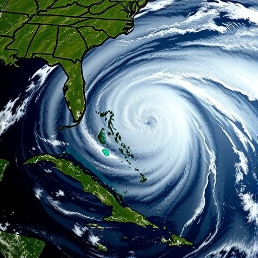
Hurricanes can transform from manageable storms into catastrophic threats with startling speed, leaving communities only hours to react. A new forecasting technique developed by scientists at the U.S. National Science Foundation National Center for Atmospheric Research (NSF NCAR) could give emergency managers a crucial advantage: an estimate of whether a tropical cyclone is likely to undergo rapid intensification up to five days before the most dangerous strengthening occurs.
Rapid intensification is typically defined as an increase of at least 30 knots—about 35 mph—in a hurricane’s maximum sustained winds within 24 hours. This sudden escalation is one of the most difficult events for meteorologists to predict, especially when a storm is approaching land. Hurricane Michael, which reached Category 5 strength before striking Florida’s Panhandle in 2018, and Hurricane Otis, which intensified explosively before hitting Mexico’s Pacific coast in 2023, demonstrated how quickly a forecast can become outdated.
The new system is designed to identify the probability of rapid intensification rather than simply predict a storm’s exact future wind speed. It combines information from large-scale computer forecasts with a statistical model that evaluates how different atmospheric and oceanic conditions have influenced past storms. Among the factors considered are sea surface temperatures, the amount of moisture surrounding the cyclone, wind shear, atmospheric pressure, and characteristics of the storm’s internal structure.
Researchers used a technique called logistic regression, a statistical method commonly used to estimate the probability of an event. In this case, the event is rapid intensification. The team examined 55 variables in forecasts generated by NOAA’s Global Ensemble Forecast System between 2019 and 2024. By comparing forecasts with what actually happened, the scientists determined which environmental and storm-related characteristics were most closely linked to explosive strengthening.
The system also takes advantage of ensemble forecasting. Instead of producing a single projected path and intensity estimate, an ensemble model generates many possible forecasts by slightly varying the initial atmospheric conditions and other inputs. These alternative simulations represent the uncertainty inherent in hurricane prediction. The new statistical tool analyzes the ensemble information to determine not only whether rapid intensification is likely, but also which potential storm tracks carry the greatest risk.
That distinction could be especially valuable for coastal communities. A storm may have several plausible forecast paths, yet only some may carry it over unusually warm water or into an atmospheric environment with weak wind shear—conditions that can support rapid strengthening. The technique can highlight those higher-risk scenarios, helping forecasters communicate that a storm’s danger may increase sharply if it follows one particular route.
In tests involving Atlantic hurricanes, the method provided useful indications of rapid intensification as far as five days ahead. Its performance window extended approximately three days in advance for storms in the eastern Pacific, where environmental conditions and forecasting challenges differ. The tool is not intended to replace dynamical weather models, which simulate the physical processes of the atmosphere and ocean. Instead, it serves as an additional layer of evidence that can help forecasters recognize warning signals that models may underestimate or miss.
The difficulty of predicting rapid intensification lies partly in the complex interaction between a hurricane and its surroundings. Warm ocean water supplies energy through evaporation, while moist air can reduce the disruption caused by dry air. Low vertical wind shear allows the storm’s core to remain vertically aligned, and favorable upper-atmospheric conditions can help air rise efficiently from the center. If several of these ingredients come together at the same time, a relatively weak tropical cyclone can strengthen dramatically within a single day.
Recent storms have shown the human cost of failing to anticipate that transition. Hurricane Helene intensified from a comparatively weak tropical storm into a major Category 4 hurricane in only two days before making landfall in Florida in 2024. The storm was associated with roughly 250 deaths across several southern states. Hurricane Harvey, which rapidly strengthened before reaching the Texas coast in 2017, produced catastrophic flooding around Houston and caused an estimated $160 billion in damage. Earlier warnings of the potential for explosive development could give residents more time to evacuate, protect property, or prepare for prolonged power and infrastructure failures.
Christopher Rozoff, the NSF NCAR scientist leading the research, said the long-term goal is to provide forecasters with enough advance information to act with greater confidence. The researchers acknowledge that the method has limitations: it was trained using a relatively short period of hurricane forecasts and evaluated with one principal global model. Expanding the historical database and testing the approach with additional forecasting systems could improve its reliability across different ocean basins and storm types. If further validation confirms its performance, the technique could become a practical component of hurricane warning operations—turning subtle atmospheric clues into earlier, potentially lifesaving alerts.
News Publication Date: 11-Jun-2026
Web References: https://doi.org/10.1175/WAF-D-25-0076.1
References: Christopher M. Rozoff, Jonathan L. Vigh, Eric A. Hendricks, Brittany Freeman, and Paul A. Kucera, “An Ensemble-Based Tropical Cyclone Rapid Intensification Prediction Tool for Extended Lead Times,” Weather and Forecasting.
Cite Scienmag News
Russell Cooper. (August 1, 2026). Scientists predict hurricane rapid intensification earlier than ever. Scienmag. https://scienmag.com/scientists-predict-hurricane-rapid-intensification-earlier-than-ever/
Russell Cooper. "Scientists predict hurricane rapid intensification earlier than ever." Scienmag, 1 August 2026, https://scienmag.com/scientists-predict-hurricane-rapid-intensification-earlier-than-ever/. Accessed 3 September 2026.
Russell Cooper. "Scientists predict hurricane rapid intensification earlier than ever." Scienmag. August 1, 2026. https://scienmag.com/scientists-predict-hurricane-rapid-intensification-earlier-than-ever/


