


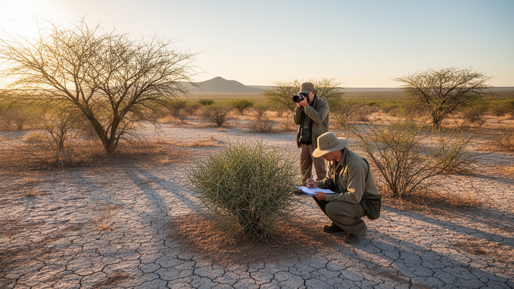
Deep in Central-Western Argentina lies one of South America’s most battered yet least understood dryland landscapes: the Arid Chaco, the driest and most xeromorphic corner of the vast Gran Chaco ecoregion. A new survey, published in Vegetation Classification and Survey, has now delivered the most comprehensive classification to date of the region’s plant communities, drawing on 654 vegetation plots sampled over two decades and analyzed with modern multivariate techniques. The findings reveal nine distinct vegetation types grouped into four major clusters, and they paint a sobering picture of a landscape where centuries of logging, grazing and land conversion have pushed old-growth forest to the brink.
The Gran Chaco stretches across roughly one million square kilometers of Argentina, Bolivia, Paraguay and a sliver of Brazil, making it one of the largest dry forest systems on Earth. Its southwestern extreme in Argentina, the Arid Chaco, covers approximately 9.6 million hectares between roughly 64 and 67 degrees west and 28 to 34 degrees south. This is a land of sedimentary basins called bolsones, ringed by recently uplifted mountains, where annual rainfall drops from over 500 millimeters in the east to as little as 250 millimeters in the west, and where potential evapotranspiration can exceed 1,600 millimeters per year. There are no permanent rivers, only temporary watercourses, and the lowlands harbor salt flats, muddy saline areas and ephemeral lakes that bloom and crack with the seasons.
The research team, working across the provinces of La Rioja, Córdoba, Catamarca, San Luis and San Juan, addressed three fundamental questions: which vegetation types currently occur in the Arid Chaco, whether those types differ in floristic composition, endemism, chorotypes and life forms, and whether the vegetation shows any spatial association with the region’s environmental heterogeneity. To answer them, the researchers compiled 654 phytosociological relevés, each a 20 by 20 meter plot, sampled during the Southern Hemisphere summer rainy season following the classic Braun-Blanquet method of visual cover estimation and species listing.
The analytical engine behind the classification was a combination of two relatively recent computational tools. The team used ISOPAM, a method that couples isometric feature mapping with partitioning around medoids, to hierarchically classify the plots based on a Bray-Curtis dissimilarity matrix of species cover values. They then ordinated the same data using ISOMAP, or isometric feature mapping, to visualize gradients in floristic composition and relate them to environmental variables. Bioclimatic data came from the CHELSA database at 30 arc-second resolution, including annual mean temperature, annual precipitation and precipitation seasonality, along with an aridity index. Soil variables, including texture fractions, pH, electrical conductivity and exchangeable sodium percentage, were drawn from the Global Map of Salt-Affected Soils.
The survey recorded 439 vascular plant species across 60 families and 241 genera. Grasses led the way with 69 species, followed by the daisy family with 49, the legumes with 34, and the cacti with 29. Notably, 62 species, or 14 percent of the total, are endemic at the national level, and 22 species, about 5 percent, are restricted to the study area and its neighboring environments in the Monte and Western Chaco. The life-form spectrum was dominated by micro- and nanophanerophytes, small woody shrubs, followed by hemicryptophytes, chamaephytes and low trees, a signature of a landscape shaped by aridity and disturbance.
The ISOPAM analysis resolved four major clusters and nine vegetation types. Cluster 1 contains the forests and woodlands: the Aspidosperma quebracho-blanco forest, locally called quebrachal, the Larrea divaricata shrubland known as jarillal or fachinal, and the Prosopis flexuosa woodland or algarrobal. Cluster 2 comprises two shrubland types dominated by Larrea cuneifolia, one widespread across the region and the other confined to the drier western fringes where Monte desert species such as Bulnesia retama and Bougainvillea spinosa intrude. Cluster 3 captures the vegetation of heavily disturbed sites, including the Mimozyganthus carinatus and Bulnesia foliosa shrublands on stabilized dunes and the Tricomaria usillo shrublands of sandy plains. Cluster 4 encompasses the halophytic and sub-halophytic communities, including the Suaeda divaricata and Atriplex argentina shrublands of muddy saline areas and the Heterostachys ritteriana and Allenrolfea patagonica succulent shrublands ringing the salt flats.
Perhaps the most striking finding is how poorly differentiated most of these vegetation types are from one another in floristic terms. With the exception of the halophytic communities, the types differ mainly in the relative abundance of a shared pool of species and in their physiognomy, the structure and appearance of the vegetation, rather than in distinct species composition. This blurring of boundaries reflects the region’s history: the original forest has been so thoroughly fragmented and converted that most of what remains are secondary communities, successional stages along a regressive pathway from closed forest to open shrubland to nearly bare ground locally known as peladares.
The environmental analysis revealed that floristic composition correlates significantly with a suite of variables, with electrical conductivity explaining the most variance at 29 percent, followed by sand content and the aridity index at 27 percent each, annual precipitation at 22 percent, and exchangeable sodium percentage and precipitation seasonality at 22 and 21 percent respectively. Elevation, pH and annual mean temperature explained less. The pattern is consistent with a region of considerable thermal uniformity where soils and moisture, rather than temperature, drive vegetation differentiation. The Larrea cuneifolia shrublands of Cluster 2 occupy the drier western sites and low-lying areas with sandy, sodium-rich soils, while the Aspidosperma forests favor wetter eastern plains with lower salinity. The halophytic types track soil salinity almost exclusively.
The study also settles a long-running debate about the phytogeographic identity of the Arid Chaco. Since the nineteenth century, botanists have argued over whether this region belongs to the Chaco or the Monte province, with some proposing it is merely an ecotone between the two. The new data come down firmly on the Chaquenian side. The best-represented chorotype, accounting for 39.4 percent of all species, comprises plants distributed across the Western and Eastern Chaco of northern Argentina, Bolivia and Paraguay, while the Arid Chaco and Monte chorotype accounts for only 15.7 percent. The absence of the red quebracho genus Schinopsis, a dominant in the Western Chaco, and the presence of numerous species shared with Paraguayan and Bolivian Chaco forests, further confirm the region’s distinctive Chaquenian character.
The conservation implications are stark. Seven of the nine vegetation types are shrublands, a direct legacy of logging that peaked with the railroad expansion of the late nineteenth and early twentieth centuries, followed by a shift from cattle to goats that intensified degradation of both herbaceous communities and remaining forest patches. The Aspidosperma quebracho-blanco forest, widely regarded as the potential natural vegetation of the region, now survives mainly in protected areas and isolated piedmont refuges with low disturbance. The researchers emphasize that management decisions, particularly those concerning biodiversity conservation, are currently being made without comprehensive knowledge of the region’s full floristic components, and they call for urgent protection of the few mature forests that remain. As saline soils expand under inadequate management and non-native species remain mercifully scarce at just 3.1 percent of the flora, the window for preserving the structural complexity and floristic richness of this iconic dry forest is narrowing.
Subject of Research: Vegetation classification of the Arid Chaco in Central-Western Argentina
Article Title: Vegetation types of the Arid Chaco in Central-Western Argentina
Article References: Zeballos, S. R., Acosta, A. T. R., Agüero, W. D., Ahumada, R. J., Almirón, M. G., Argibay, D. S., Arroyo, D. N., Blanco, L. J., Biurrun, F. N., Cantero, J. J., Márquez, J., Quiroga, A., Quiroga, R. E., & Cabido, M. R. (2023). Vegetation types of the Arid Chaco in Central-Western Argentina. Vegetation Classification and Survey, 4, 167-188. https://doi.org/10.3897/vcs.100532
Image Credits: AI Generated
DOI: 10.3897/VCS.100532
Keywords: Arid Chaco, Gran Chaco, vegetation classification, phytosociology, ISOPAM, ISOMAP, Aspidosperma quebracho-blanco, endemic species, halophytic vegetation, dry forests, Argentina, plant ecology
Cite Scienmag News
Margaret Porter. (October 18, 2026). Scientists map nine vegetation types of Argentina’s Arid Chaco in landmark survey. Scienmag. https://scienmag.com/scientists-map-nine-vegetation-types-of-argentinas-arid-chaco-in-landmark-survey/
Margaret Porter. "Scientists map nine vegetation types of Argentina’s Arid Chaco in landmark survey." Scienmag, 18 October 2026, https://scienmag.com/scientists-map-nine-vegetation-types-of-argentinas-arid-chaco-in-landmark-survey/. Accessed 18 October 2026.
Margaret Porter. "Scientists map nine vegetation types of Argentina’s Arid Chaco in landmark survey." Scienmag. October 18, 2026. https://scienmag.com/scientists-map-nine-vegetation-types-of-argentinas-arid-chaco-in-landmark-survey/


