


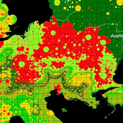
A new study in Big Earth Data introduces an operational machine-learning framework for estimating agricultural drought conditions using high-resolution Sentinel-2 time series. Focusing on maize production in Eastern Austria’s Marchfeld region, the research targets both irrigated and non-irrigated fields to test how irrigation changes drought detectability in satellite signals.
The approach combines multiple modeling strategies, including Random Forest alongside two deep learning architectures: a Deep Neural Network (DNN) and a One-Dimensional Convolutional Neural Network (1D-CNN). Instead of relying on a single snapshot, the models ingest pre-processed temporal Sentinel-2–derived variables, enabling them to learn drought-relevant dynamics across the growing season.
To ground the satellite analysis, the team built an extensive reference network using more than 20 satellite-derived indices integrated with field and environmental measurements. These include field capacity, precipitation data, and soil composition—factors that shape plant water stress and therefore drought expression at the pixel level.
The study then evaluates the integrity of the reference points through temporal analysis and expert validation, aiming to ensure that the training labels reflect real agricultural drought conditions rather than noise or regional artifacts. This step is central for reliable operational forecasting.
Performance is assessed across multiple years from 2018 to 2023. The results show that non-irrigated fields yield higher prediction accuracy, averaging about 79%, with lower error metrics around 0.15. The authors attribute this advantage to clearer drought signals when irrigation does not mask stress patterns.
Irrigated fields, by contrast, show more complex drought behavior because water management can partially obscure the relationship between satellite indicators and plant stress. Prediction accuracy drops slightly to about 77.4%, and errors increase to around 0.16, reflecting the additional uncertainty introduced by irrigation practices.
Across all models, the DNN delivers the best overall performance, outperforming Random Forest and the 1D-CNN in the operational drought mapping task. The findings underline how deep learning can exploit Sentinel-2’s rich temporal information to translate earth observation into actionable agricultural warnings.
Beyond the Marchfeld case, the framework is designed to be operationalizable—an important feature for early warning systems where timely and spatially explicit drought maps can guide water and crop-management decisions. In short, the study demonstrates that Sentinel-2–based deep learning can move drought monitoring from retrospective analysis toward near-real-time operational support.
Cite Scienmag News
Blake Davidson. (July 26, 2026). Satellite Sentinel-2 Drought Forecasting in Austria Using Random Forest and Deep Learning. Scienmag. https://scienmag.com/satellite-sentinel-2-drought-forecasting-in-austria-using-random-forest-and-deep-learning/
Blake Davidson. "Satellite Sentinel-2 Drought Forecasting in Austria Using Random Forest and Deep Learning." Scienmag, 26 July 2026, https://scienmag.com/satellite-sentinel-2-drought-forecasting-in-austria-using-random-forest-and-deep-learning/. Accessed 3 September 2026.
Blake Davidson. "Satellite Sentinel-2 Drought Forecasting in Austria Using Random Forest and Deep Learning." Scienmag. July 26, 2026. https://scienmag.com/satellite-sentinel-2-drought-forecasting-in-austria-using-random-forest-and-deep-learning/


