


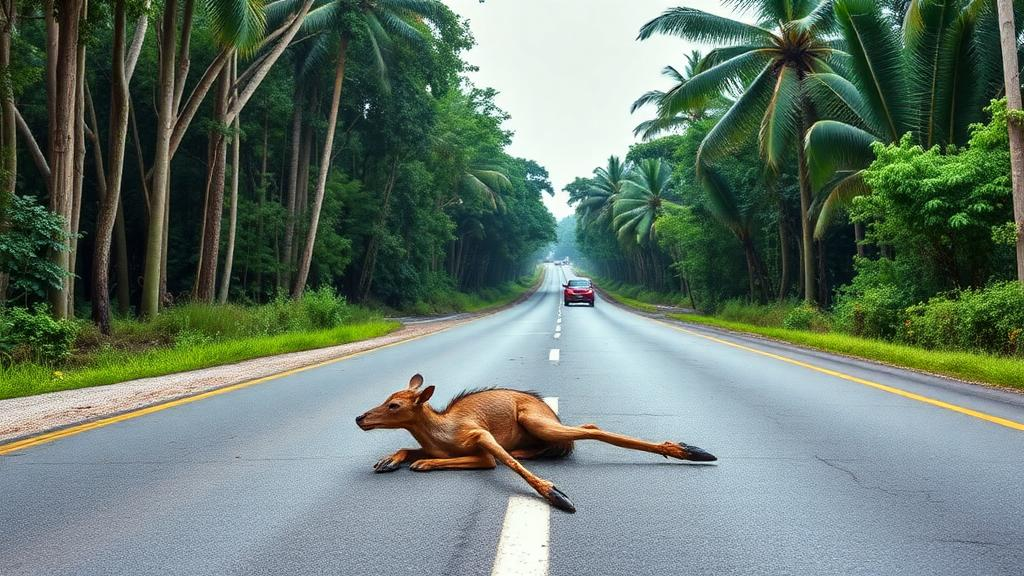
A stretch of highway cutting through one of the most biodiverse corners of the Amazon has become an unexpected natural laboratory for understanding how roads kill wildlife. A new four-year study of Brazil’s BR-319 highway, connecting Manaus to Porto Velho, has documented 673 roadkill incidents involving mammals, birds, reptiles, and amphibians, revealing that the places where animals die on the road are far from fixed. Instead, hotspots of wildlife mortality shift from year to year, driven by a complex interplay of temperature, rainfall, and the surrounding landscape.
The research, published in the journal Nature Conservation, focused on the first 177.8 kilometers of BR-319, a paved segment extending from Manaus into the municipalities of Careiro da Várzea and Manaquiri. This stretch of road is strategically important for Brazil, serving as the only highway link between the Amazon’s largest city and the southern regions of the country. It is also environmentally fraught, cutting through or near protected areas, biological reserves, and Indigenous lands. As Brazil considers paving over 400 additional kilometers of the route, scientists warn that understanding where and when animals are killed is essential for designing effective conservation measures before traffic volumes surge.
The database underpinning the study came from monthly monitoring conducted by the Brazilian National Department of Transport Infrastructure between October 2017 and September 2021. Survey teams drove the route at an average speed of 40 kilometers per hour, photographing and georeferencing every carcass found on the road or its shoulders. Specialists in herpetology, ornithology, and mammalogy identified the animals to species level wherever possible. Records of domestic and exotic species were excluded to focus the analysis on native fauna. In total, the researchers logged 107 mammals, 251 reptiles, 152 birds, and 163 amphibians killed over 48 consecutive months of sampling.
The most frequently recorded victims were the cane toad Rhinella marina, with 133 individuals, the common opossum Didelphis marsupialis, with 85, and the black vulture Coragyps atratus, with 44. These numbers hint at the ecological dynamics at play: vultures are scavengers drawn to carcasses of other roadkill victims, meaning that mortality itself can attract further mortality, a grim feedback loop well documented in road ecology.
To map the geography of death along the highway, the team applied two-dimensional Ripley K-statistics and a hotspot scoring test using the software Siriema 2.0. These spatial statistics detect whether roadkill events cluster more than would be expected by chance at different distances along the road. The analysis revealed that while hotspot locations varied across the four annual cycles, the first 30 kilometers of the highway, which border the outer reaches of Manaus, were the most consistently affected area. Certain kilometer markers, notably kilometers 4, 6, 19, and 48, appeared as hotspots repeatedly across multiple years, making them prime candidates for mitigation infrastructure.
Different groups of animals told different stories. Reptile hotspots were remarkably stable, with more than 95 percent concentrated between kilometers 3 and 30, and several points recurring in at least three of the four years. Amphibian hotspots also showed considerable consistency at kilometers 9, 19, and 59. This stability likely reflects the limited mobility of these ectotherms and their fidelity to breeding sites and microclimatic refuges, which pins them to specific crossing zones year after year. Birds and mammals, by contrast, produced hotspots that were far more dispersed and erratic, consistent with their broader movement patterns and larger home ranges. Mammal hotspots appeared at just a handful of locations each year and rarely overlapped between periods.
Climate emerged as a powerful driver of mortality. Using monthly temperature and rainfall data from the Manaus meteorological station, the researchers built generalized linear models relating weather conditions to roadkill counts for each taxonomic group. Higher temperatures correlated with increased roadkill across all four groups, a pattern particularly intuitive for reptiles, which are thermoregulators whose activity rises with warmth. Rainfall, however, showed the opposite effect: wetter months were associated with fewer roadkill incidents across all groups. This finding contradicted the researchers’ initial hypothesis that rainy periods would increase amphibian collisions by flooding the landscape and prompting movement.
The explanation may lie in the peculiar rhythm of the Amazon itself. Heavy rains degrade road conditions and reduce traffic flow, particularly on the unpaved sections of BR-319 that deter truck traffic during the wet season. Rain also accelerates carcass removal and decomposition, potentially leading to undercounting of small animals during wet months. Moreover, the Amazonian dry season, running from June to November, combines high temperatures with low humidity, creating conditions that differ sharply from temperate regions where hot weather with summer rain predictably boosts animal activity on roads. In the Amazon, an amphibian’s activity may hinge more on humidity and breeding-site availability than on temperature alone.
Landscape composition proved equally consequential, and the multiscale design of the study revealed effects invisible at a single resolution. The researchers measured forest, agricultural, and wetland cover within buffers of 500 meters, 1 kilometer, 5 kilometers, and 10 kilometers around each 1-kilometer road section. Strikingly, forest and water cover consistently reduced roadkill across all groups at most scales, suggesting that contiguous habitat reduces the need for animals to cross the road at all. This runs counter to findings from fragmented landscapes, where forest patches near roads increase collisions by forcing animals into perilous crossings between isolated habitat fragments. Along BR-319, where intact forest still dominates, well-preserved environments appear to function as protective buffer zones.
The scale at which landscape effects appeared also varied by taxon. Amphibians and reptiles, constrained by short movements and microclimatic requirements, showed landscape influences primarily at the smaller buffer scales, with effects diminishing or vanishing at 10 kilometers. Birds showed their most distinctive pattern at the widest scale, where wetland and agricultural cover increased roadkill, plausibly because scavenging vultures are drawn to areas where other animals die frequently. For mammals, interactions between forest and agricultural cover raised mortality at intermediate scales, pointing to landscape mosaics that concentrate animal movement near the road.
The study’s authors are candid about its limitations. Traffic volume and vehicle speed data for BR-319 do not exist, and factors such as habitat connectivity, road topography, and food availability were not directly measured. The low explanatory power of some models, particularly for birds and mammals, reflects this missing information. Nonetheless, the central message is clear and urgent: roadkill hotspots are not permanent fixtures on a map, and any mitigation strategy that treats them as such will fail. Wildlife crossings, fencing, and speed limits must be designed around a moving target shaped by seasons, climate, and changing land use.
The timing of these findings could hardly be more critical. The proposed paving of BR-319’s middle section would complete a road connection that researchers have repeatedly warned could unleash deforestation and land occupation across one of Earth’s last great wilderness areas unless robust governance precedes construction. This study adds a new dimension to that debate, demonstrating that in the intact forests of the Amazon, preserving continuous habitat cover is itself the most effective roadkill mitigation available. Where fragmentation encroaches, particularly near the urbanized edges of Manaus, targeted interventions such as wildlife corridors and ecological barriers will be needed at the recurring hotspots identified along the first kilometers of the road. As infrastructure expansion accelerates across the tropics, the lesson from BR-319 is that roads and rainforest can coexist only if planners account for the shifting, living patterns of the animals that cross their path.
Subject of Research: Temporal variation in wildlife roadkill hotspots and the effects of climate and landscape variables along the BR-319 highway in the Brazilian Amazon
Article Title: Temporal variation in hotspots and the effects of climate and landscape on wildlife roadkill along the BR-319: conservation challenges in a high-biodiversity area in the Amazon
Article References: Martins, P. N., Saito, E. N., Fantacini, F. M., Ambrozio-Assis, A., da Silva, E. A., da Silva, A. L. F., de Sá, G. A. M., Junior, M. V. D. C., Sidoski, R., da Costa, J. R. N., Gordo, M., & Rosa, C. (2026). Temporal variation in hotspots and the effects of climate and landscape on wildlife roadkill along the BR-319: conservation challenges in a high-biodiversity area in the Amazon. Nature Conservation, 61, 71-93. https://doi.org/10.3897/natureconservation.61.148493
Image Credits: AI Generated
DOI: 10.3897/natureconservation.61.148493
Keywords: roadkill, BR-319 highway, Amazon, wildlife mortality, road ecology, hotspots, amphibians, reptiles, climate, forest cover, conservation, Brazil
Cite Scienmag News
Margaret Porter. (October 19, 2026). Roadkill Hotspots Shift Year to Year on Amazon Highway, Five-Year Study Finds. Scienmag. https://scienmag.com/roadkill-hotspots-shift-year-to-year-on-amazon-highway-five-year-study-finds/
Margaret Porter. "Roadkill Hotspots Shift Year to Year on Amazon Highway, Five-Year Study Finds." Scienmag, 19 October 2026, https://scienmag.com/roadkill-hotspots-shift-year-to-year-on-amazon-highway-five-year-study-finds/. Accessed 19 October 2026.
Margaret Porter. "Roadkill Hotspots Shift Year to Year on Amazon Highway, Five-Year Study Finds." Scienmag. October 19, 2026. https://scienmag.com/roadkill-hotspots-shift-year-to-year-on-amazon-highway-five-year-study-finds/


