


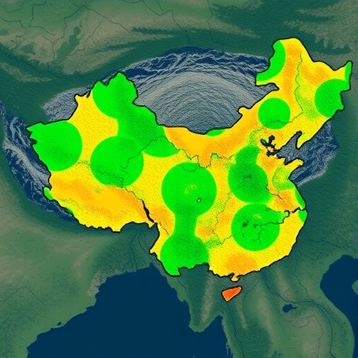
A new study is putting highways at the center of one of the most consequential questions in modern landscape science: how quickly can a road reshape the land around it? Published in Scientific Reports, the research by Wang, Liu, Chen and colleagues examines land-use change along China’s Rongwu Expressway, combining artificial intelligence with a long-established landscape simulation method. The researchers used random forest models to monitor and interpret patterns of land conversion, then applied a cellular automata–Markov, or CA-Markov, framework to predict how those changes may unfold in the future. The result is a powerful analytical pipeline designed to reveal how transportation infrastructure can trigger waves of urban growth, industrial development, agricultural adjustment and ecological pressure far beyond the asphalt itself.
Expressways are often presented as narrow corridors linking cities, but their influence rarely stops at the edge of the road. New interchanges can make previously remote areas accessible to housing, logistics centers, factories, commercial districts and tourism facilities. Land prices may rise, farmland may be divided, and natural habitats can become increasingly fragmented. These transformations do not happen uniformly: some locations change rapidly near junctions, while others remain stable for years. Monitoring such a complex mosaic requires more than conventional maps or occasional field surveys. The Rongwu Expressway case study addresses this challenge by treating land use as a dynamic system whose evolution can be measured from spatial data and projected through computational models.
At the heart of the study is the random forest algorithm, a machine-learning technique well suited to problems in which many environmental and human factors interact. Rather than relying on a single decision tree, random forest constructs a large collection of trees and combines their outputs to make a classification or prediction. In land-use research, the method can learn relationships between observed land categories and explanatory variables such as proximity to roads, elevation, slope, settlement distribution and neighboring land types. Each tree examines different samples and subsets of variables, helping the overall model reduce the risk of overreliance on one feature. This makes random forest particularly useful for distinguishing built-up land, cropland, woodland, water bodies and other classes in remotely sensed imagery.
The model’s importance extends beyond simply labeling pixels. Accurate land-use classification provides the foundation for detecting where change has already occurred and identifying the forces most strongly associated with it. Satellite imagery can show that a field has become developed land, but a machine-learning model can help explain whether the transformation is more closely linked to an interchange, an existing urban center, terrain conditions or a broader regional development pattern. By analyzing these relationships along the Rongwu Expressway, the researchers created a more detailed picture of the spatial signatures associated with infrastructure-led change. Such information can help planners locate emerging pressure zones before development becomes difficult or expensive to manage.
To move from observation to forecasting, the study combines random forest with the CA-Markov model. The Markov component estimates how likely one land-use category is to transition into another based on historical patterns. For example, it can calculate the probability that agricultural land will become urban land, or that one undeveloped category will shift into another over a defined time interval. Yet Markov analysis alone does not know where those transitions should occur. Cellular automata provide the missing spatial logic by dividing the landscape into neighboring cells and simulating how the condition of each cell is influenced by its surroundings and suitability for change. In effect, the model links statistical transition probabilities with geographic behavior.
This combination is important because land-use change is both temporal and spatial. A purely statistical forecast may estimate how much urban land will exist in the future without showing where it will appear. A purely local model may capture neighborhood effects but fail to reflect the broader pace of regional transformation. The CA-Markov approach attempts to bridge those scales, while the random forest model helps define the suitability of different locations for particular transitions. Areas close to expressway exits, existing settlements and commercial networks may receive higher development suitability, while steep terrain, protected ecological zones or areas with limited accessibility may be less likely to convert. The resulting simulations can portray alternative future landscapes rather than treating change as random expansion.
The Rongwu Expressway provides a revealing setting for this work because transportation corridors frequently act as development spines. Their effects may be concentrated around interchanges, where vehicles can leave the main route, but they can also spread outward through secondary roads and local economic networks. Over time, this pattern can produce clustered growth, ribbon development or increasingly discontinuous urban expansion. Each form carries different consequences for traffic, public services, farmland protection and habitat connectivity. By focusing on a defined expressway corridor, the study offers a framework for examining these consequences at a scale that is meaningful to regional planners: large enough to capture connected land systems, yet focused enough to identify the influence of a major piece of infrastructure.
The research also illustrates why predictive land-use modeling has become increasingly relevant as governments confront competing demands for mobility, economic growth and environmental protection. Forecast maps generated through models such as random forest and CA-Markov can be used to test whether future development is likely to concentrate in suitable zones or spill into sensitive areas. They may help authorities prioritize ecological buffers, protect high-value agricultural land, guide the placement of new facilities and coordinate development between neighboring jurisdictions. The models are not crystal balls; their projections depend on the quality of the historical data, the choice of explanatory variables and the assumption that some past relationships will continue. Nevertheless, they provide a structured way to compare likely trajectories and identify locations where early intervention could make the greatest difference.
The broader message from the Rongwu Expressway study is that roads should be understood not only as transportation infrastructure but also as engines of landscape transformation. Once a route is built, its influence can continue through land markets, migration, industrial investment and changing patterns of accessibility. By pairing machine learning with spatial simulation, Wang, Liu, Chen and their colleagues demonstrate an approach capable of tracking those shifts and exploring what may come next. As expressway networks expand and satellite data become more detailed, similar tools could help turn land-use planning from a reactive process into a predictive one—giving communities a better chance to capture the economic benefits of connectivity without allowing development to erase the ecological and agricultural systems that surround the road.
Cite Scienmag News
Denise Maddox. (August 13, 2026). Random Forest Models Predict Land-Use Changes Along China’s Rongwu Expressway. Scienmag. https://scienmag.com/random-forest-models-predict-land-use-changes-along-chinas-rongwu-expressway/
Denise Maddox. "Random Forest Models Predict Land-Use Changes Along China’s Rongwu Expressway." Scienmag, 13 August 2026, https://scienmag.com/random-forest-models-predict-land-use-changes-along-chinas-rongwu-expressway/. Accessed 3 September 2026.
Denise Maddox. "Random Forest Models Predict Land-Use Changes Along China’s Rongwu Expressway." Scienmag. August 13, 2026. https://scienmag.com/random-forest-models-predict-land-use-changes-along-chinas-rongwu-expressway/


