


Random Forest produced the most accurate land-use and land-cover maps from both Landsat 8 and Sentinel-2A imagery in a comparative study conducted in Sankhuwasabha District, a mountainous district in eastern Nepal. The algorithm achieved 84.12% overall accuracy and a kappa coefficient of 0.73 with the 30-metre Landsat 8 data, compared with 88.73% overall accuracy and a kappa of 0.81 for the 10-metre Sentinel-2A data. The study compared six supervised classifiers over the same six land-cover classes and two freely available satellite sensors, finding that algorithm choice was at least as important as image resolution in this rugged Himalayan environment.
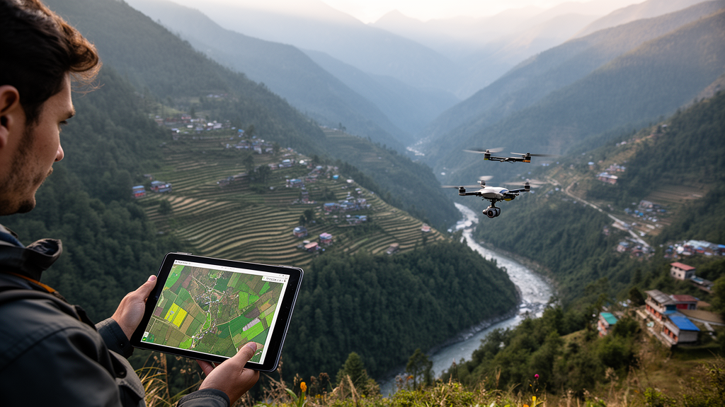
The research site covered 3,480 square kilometres and included terrain ranging from 247 metres in the Arun Valley to 8,485 metres at its highest peak. Its steep slopes, abrupt elevation changes, fragmented settlements, seasonal snow, exposed rock and cultivated valleys created difficult conditions for image classification. The authors said these features produce heterogeneous surfaces, topographic shadows, spectral overlap among classes and mixed pixels, particularly around settlement edges and land-cover boundaries. Such conditions make it difficult for a satellite pixel to represent a single surface type consistently, especially in coarser Landsat imagery. The district includes alpine, sub-alpine, temperate, sub-tropical and tropical zones within a short vertical span, so many distinct cover types occur in relatively compact areas.
For the analysis, the researchers classified water bodies, cultivated areas, vegetation, snow and ice, barren land and built-up land. They corrected Landsat 8 observations to surface reflectance with FLAASH and Sentinel-2A data with Sen2Cor, but did not apply an additional topographic-correction method. Sentinel-2A bands 2, 3, 4 and 8 were combined at 10-metre resolution, while Landsat 8 imagery was supplied at 30-metre resolution. Maximum Likelihood Classification, Support Vector Machine, Parallelepiped, Artificial Neural Network, Random Forest and Minimum Distance algorithms were each trained and applied to both datasets. The classifiers represent different approaches: MLC uses class statistics and spectral likelihood, SVM seeks separating boundaries in feature space, Parallelepiped applies threshold ranges, Minimum Distance assigns pixels to the nearest class mean, ANN models nonlinear relationships through connected processing units, and Random Forest combines votes from many decision trees.
Training and validation information came from a field survey along north–south and east–west transects, GPS records and high-resolution Google Earth imagery for 2023. The researchers used stratified random sampling, established a 30-by-30-metre sampling grid and required sampling points to be at least 50 metres apart to reduce spatial autocorrelation. The methods section reports 1,370 reference samples, including 1,100 collected in the field and 270 selected from Google Earth imagery, with about 35% used for accuracy assessment. The abstract gives a different figure for the imagery-derived points, but the methods section provides the count used in the stated sampling design. Confusion matrices then supplied producer’s accuracy, user’s accuracy, overall accuracy and Cohen’s kappa for each classifier and sensor combination.
Random Forest was the strongest performer in both cases. With Landsat 8, it was followed by Artificial Neural Network at 72.27% overall accuracy and Support Vector Machine at 71.94%. Maximum Likelihood Classification reached 64.36%, Minimum Distance 63.62% and Parallelepiped 60.85%. For Sentinel-2A, Support Vector Machine ranked second at 72.73%, followed by Minimum Distance at 70.85%, Artificial Neural Network at 70.45% and Maximum Likelihood Classification at 69.22%. Parallelepiped was the weakest Sentinel-2A model, with 42.86% overall accuracy and a kappa coefficient of 0.25, while also performing poorly in visual separation of the mapped classes. The results therefore did not show a single consistent ranking for the five non-Random-Forest methods, although Random Forest led both sensor comparisons.
The class-specific results showed where the models succeeded and failed. All six Landsat classifiers recorded producer’s and user’s accuracy of 100% for snow and ice and for water, while vegetation was identified with user’s accuracy ranging from 80% to 90%. Built-up areas remained difficult: Parallelepiped and Artificial Neural Network did not classify them effectively in the Landsat maps. In the Sentinel-2A assessment, all classifiers again achieved 100% producer’s accuracy for snow and ice, while water producer’s accuracy ranged from 60% to 80%. Random Forest had the highest producer’s accuracy for vegetation, and Artificial Neural Network achieved roughly 80% producer’s accuracy for barren land. Parallelepiped’s producer’s accuracy for barren land was only about 35%, although its producer’s accuracy for cultivated areas approached 90%.
Sentinel-2A generally delivered higher overall accuracy than Landsat 8, but the apparent sensor advantage was not statistically significant for five of the six classifiers. Z-tests of the kappa coefficients produced p-values of 0.33 for Maximum Likelihood Classification, 0.06 for Minimum Distance, 0.86 for Support Vector Machine, 0.73 for Artificial Neural Network and 0.20 for Random Forest. Parallelepiped was the exception: Landsat 8 significantly outperformed Sentinel-2A for that algorithm, with a reported Z value of 3.84 and p less than 0.001. The result supports the authors’ narrower conclusion that performance depended on the sensor–classifier combination rather than on finer spatial resolution alone. Sentinel-2A’s 10-metre pixels nevertheless captured finer spatial detail than Landsat’s 30-metre pixels, which can reduce mixed-pixel effects around small settlements and fragmented cultivated areas.
A pixel-wise standard-deviation analysis added a spatial measure of disagreement among the six algorithms. The classifiers agreed most strongly across extensive vegetation and water bodies, where standard-deviation values were low. Higher uncertainty occurred along vegetation–cultivation boundaries, snow-and-ice–barren-land transitions and topographically complex areas. These locations contain spectrally similar classes, mixed surface conditions and terrain-driven variations in illumination. The analysis therefore identified transition zones that could be overlooked by an overall accuracy figure, even when a model performed well across the study area as a whole. The uncertainty pattern was treated as a diagnostic of model disagreement, not as a separate estimate of the probability that any individual pixel was correct.
The study has important limits. It examined one Himalayan district and used limited seasonal imagery, so the results may not transfer directly to other climates or landscapes. Reference points may contain positional or thematic errors, especially where built-up surfaces resemble exposed soil or rock. Only six algorithms and common parameter settings were tested; deeper tuning or deep-learning methods might perform differently. The absence of explicit topographic correction also leaves a possible source of misclassification on steep slopes, while the use of different atmospheric-correction procedures for the two sensors may have introduced reflectance differences. The authors specifically noted that slope, aspect and terrain shadows can alter surface reflectivity even after atmospheric correction, particularly for spectrally similar forest, barren-land and shrubland surfaces.
Despite those constraints, the controlled comparison demonstrates why Random Forest is a strong candidate for land-cover mapping in complex mountain terrain. Its ensemble of decision trees can accommodate heterogeneous spectral relationships that simpler distance- and probability-based methods handled less effectively. The study does not show that one sensor alone guarantees better maps, nor does it establish that Random Forest will perform equally well everywhere. It instead shows that the highest accuracy in Sankhuwasabha came from combining a capable classifier with suitable imagery, while also warning that transition zones remain difficult targets for automated mapping in mountains. The authors say the resulting maps can support resource management and future detection of land-use changes such as deforestation, urban expansion and land degradation, but their evidence directly supports the classification comparison rather than a measured policy effect.
Subject of Research: Comparative satellite land-cover mapping using six supervised classifiers in Sankhuwasabha District, eastern Nepal.
Article Title: Comparative evaluation of machine learning algorithms for land use land cover mapping in Sankhuwasabha District, Eastern Nepal
Article References: Moktan, B., & Chauhan, R. (2026). Comparative evaluation of machine learning algorithms for land use land cover mapping in Sankhuwasabha District, Eastern Nepal. Discover Artificial Intelligence, 6(1), Article 1073. https://doi.org/10.1007/s44163-026-02162-7
Image Credits: AI Generated
DOI: 10.1007/s44163-026-02162-7
Keywords: Random Forest, land-cover mapping, Sentinel-2A, Landsat 8, remote sensing, machine learning, spatial uncertainty, Himalayan terrain, Nepal, supervised classification, Comparative, evaluation
Cite Scienmag News
Denise Maddox. (October 26, 2026). Random Forest Leads Land-Cover Mapping in Eastern Nepal’s Sankhuwasabha District. Scienmag. https://scienmag.com/random-forest-leads-land-cover-mapping-in-eastern-nepals-sankhuwasabha-district/
Denise Maddox. "Random Forest Leads Land-Cover Mapping in Eastern Nepal’s Sankhuwasabha District." Scienmag, 26 October 2026, https://scienmag.com/random-forest-leads-land-cover-mapping-in-eastern-nepals-sankhuwasabha-district/. Accessed 26 October 2026.
Denise Maddox. "Random Forest Leads Land-Cover Mapping in Eastern Nepal’s Sankhuwasabha District." Scienmag. October 26, 2026. https://scienmag.com/random-forest-leads-land-cover-mapping-in-eastern-nepals-sankhuwasabha-district/


