


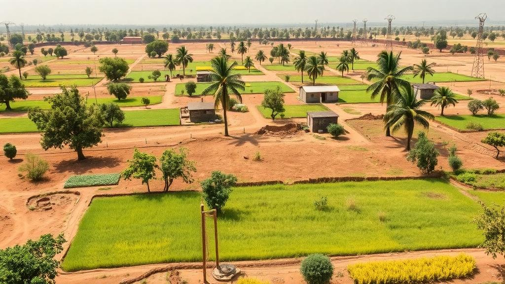
Across Senegal’s groundnut basin, the fate of millions of people is written in fields no larger than a football pitch. Most of the country’s food comes from smallholder farms that depend entirely on rainfall, which leaves the population acutely exposed to climate shocks, according to the World Food Programme. Yet the satellite-based crop mapping technologies that industrial agriculture in wealthier nations takes for granted have remained largely out of reach for the West African nation, where ground surveys are expensive and infrequent. A new study from the University of Cambridge suggests that gap may finally be closing, thanks to an open-source artificial intelligence model that proved itself more accurate and far cheaper to run than the methods currently in use.
The research, published on 29 September in the journal Environmental Research: Food Systems under the title “Embedding-based Crop Type Classification in the Groundnut Basin of Senegal,” put the Cambridge-developed model Tessera through a demanding real-world test. The team used it to map crops across Senegal’s groundnut basin for the years 2018, 2019 and 2021, distinguishing staples such as millet, groundnut, sorghum, cowpea and rice from fallow land and trees. In head-to-head comparisons, Tessera identified the correct crop 84 percent of the time while consuming only a fraction of the computational resources and pre-labelled data required by existing approaches. In one test scenario, it outperformed the next-best model by 28 percent, a margin that could translate into materially better decisions about where to direct food aid and agricultural support.
The technical trick behind Tessera lies in how it represents the landscape. The underlying model ingests a full year of satellite imagery and compresses every 10-metre point of land into a string of numbers known as an embedding. Rather than storing a simple snapshot, this embedding encodes how the land, and whatever grows on it, changes across the seasons, capturing the subtle temporal signatures that distinguish, say, the leafing pattern of millet from that of groundnut. Once those embeddings are computed, a simple algorithm armed with just a handful of calibration data points can translate them into a large-scale crop map. That two-step design is what makes the system so economical: the heavy computational lifting happens once, and the expensive part of the workflow no longer depends on vast libraries of pre-labelled training images.
To establish that this was not just an elegant idea, the researchers benchmarked Tessera against two satellite mapping methods widely used for agricultural monitoring, as well as Google DeepMind’s AlphaEarth, a system with a similar purpose whose underlying model is not publicly available. Each method was tasked with mapping crops for 2018, 2019 and 2021, and the results were assessed across four criteria: accuracy, reliability, reusability and computational cost. Tessera led the field on the whole suite of measures. Critically, it also held up best when trained on one year’s ground data and applied to another year, which means governments could use it in intervening years without commissioning a fresh ground survey every season. For organisations that can only afford field campaigns every few years, that reusability is arguably the model’s most valuable property.
Lead author Madeline Lisaius, who helped develop Tessera while a PhD student at Cambridge’s Department of Computer Science and Technology, framed the advance in terms of what it enables rather than how it works. “Accurate and up-to-date crop statistics can guide food security planning and help decide where best to target support. But most local governments and bodies can only afford to collect ground data every few years,” she said. “With Tessera, you can train on the data you already have and extend it into the years in between, with more accurate crop information than baseline methods have ever been able to provide.” She added that governments, NGOs and other food security organisations can begin using the technology to produce their own crop statistics now, since the model is open-source and freely available.
The timing of the study carries particular weight. The researchers point to this year’s El Niño, which scientists describe as the strongest ever recorded, as a source of added urgency. The climate phenomenon is known to disrupt rainfall patterns in West Africa, and past strong events have brought prolonged drought to the region. In a country where agriculture is overwhelmingly rain-fed, the ability to see, within weeks rather than years, which crops are thriving and which are failing could mean the difference between a managed response and a humanitarian crisis. As the paper itself puts it, knowing what is grown where allows for “informed decision making at regional, national and global scales that can mean survival for vulnerable people.”
The United Nations World Food Programme, which monitors food security in Senegal, sees direct potential in the approach. “Reliable agricultural data is essential to anticipate food security and climate-related risks. In Senegal, WFP is working with national partners to explore how geospatial data and artificial intelligence can strengthen food security monitoring systems and support faster, more informed decision-making,” said Pierre Lucas, the WFP’s Representative and Country Director in Senegal. His comments underline a broader shift within the humanitarian sector, where geospatial intelligence is increasingly viewed as a core instrument for anticipating, rather than merely reacting to, hunger.
The study is candid about its limitations. The researchers observed a drop in accuracy between the 2018 and 2021 maps, which they attribute to the quality of the ground survey data used for calibration rather than to any inherent weakness in the model. The analysis also did not test for secondary crops in fields where more than one crop is grown simultaneously, a common practice among smallholders that could alter the overall accuracy figures in the most agriculturally diverse locations. These caveats matter for anyone planning to deploy the system operationally, but they do not undermine the central finding that embedding-based classification can match or beat far more resource-intensive pipelines.
For Lisaius, the deepest significance of the work lies in access rather than precision. “One of the great contributions of this technology is not that it’s perfect, but that it’s incredibly accessible,” she said. “It’s a step towards greater geospatial data democratisation.” The current study builds on previously published research that demonstrated Tessera’s ability to map small fields in Austria, and the Senegal results now extend that promise to the smallholder systems of the Global South, where the need is greatest and the data has historically been scarcest. The research was supported by UK Research and Innovation and Mantle Labs. If the model’s performance holds as it is adopted more widely, the technological benefits long enjoyed by industrial agriculture may at last begin to flow to the farms that feed much of the world’s most vulnerable population.
Subject of Research: Embedding-based AI crop type classification for smallholder agriculture monitoring in Senegal
Article Title: AI tool for mapping smallholder crops proves itself in Senegal
Article References: AI tool for mapping smallholder crops proves itself in Senegal. (n.d.). Original publication
Image Credits: AI Generated
DOI: Not provided
Keywords: artificial intelligence, crop mapping, smallholder farming, Senegal, satellite imagery, food security, Tessera, embeddings, El Niño, open-source, World Food Programme, Global South
Cite Scienmag News
Alan Morgan. (October 2, 2026). Open-source AI maps Senegal’s smallholder farms with record accuracy. Scienmag. https://scienmag.com/open-source-ai-maps-senegals-smallholder-farms-with-record-accuracy/
Alan Morgan. "Open-source AI maps Senegal’s smallholder farms with record accuracy." Scienmag, 2 October 2026, https://scienmag.com/open-source-ai-maps-senegals-smallholder-farms-with-record-accuracy/. Accessed 4 October 2026.
Alan Morgan. "Open-source AI maps Senegal’s smallholder farms with record accuracy." Scienmag. October 2, 2026. https://scienmag.com/open-source-ai-maps-senegals-smallholder-farms-with-record-accuracy/


