


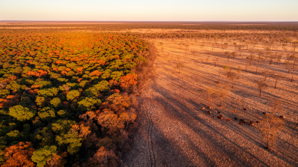
Argentine researchers have unveiled a method that fuses satellite imagery with rapid field surveys to map the ecological health of cattle ranches, offering ranchers and forest managers a scalable way to balance livestock production with the conservation of native forests. The approach, published in the journal Vegetation Classification and Survey, was tested on three ranches spanning more than 1,000 kilometers of Argentina, from the xerophytic woodlands of Entre Ríos to the Andean forests of Neuquén and Río Negro.
The central problem the team set out to solve is deceptively simple: ranches are not uniform. Soil types, slopes, drainage, and vegetation vary dramatically across a single property, and each patch responds differently to grazing, fire, flooding, or invasive species. Yet most existing assessment frameworks treat a ranch as a single unit, requiring one sampling site per 500 hectares regardless of how heterogeneous the landscape is. That standard, embedded in Argentina’s current guidelines for Manejo de Bosques con Ganadería Integrada (MBGI), the national framework for forest management with integrated livestock, has proven difficult to apply, particularly on smaller properties where the sampling density is too coarse to capture real ecological variation.
The new method begins in orbit. Using remote sensing imagery, the researchers delineated what ecologists call Ecological Sites: landscape units that share similar soil, topography, hydrology, climate, and potential vegetation, and are therefore expected to respond similarly to disturbances and management. At the Entre Ríos ranch, El Carayá, the team combined topographic and vegetation data in a geographic information system, drawing on earlier soil maps and vegetation surveys. At the two Patagonian ranches, Tres Lagos and El Jabalí, they used an open-access viewer built in Google Earth Engine that applies a random forest model to layers of mean annual precipitation and temperature, altitude, slope, aspect, meadow probabilities, and distance to rivers, alongside polygons from the most recent classification of native forests for Neuquén, Río Negro, and Chubut.
The classification worked. Six Ecological Sites emerged at El Carayá, eight at Tres Lagos, and four at El Jabalí. At El Carayá, the dominant site was a xerophytic forest of ñandubay (Neltuma affinis) and espinillo (Vachellia caven) covering 62 percent of the 12,450-hectare property, with hygrophilous forests along streams and lowlands accounting for another 28 percent. At Tres Lagos, a 22,224-hectare glaciofluvial valley between two lakes, herbaceous and subshrub communities dominated (36.8 percent), followed by ñire (Nothofagus antarctica) forests (24.6 percent) and Andean cypress (Austrocedrus chilensis) forests (17.3 percent). At the small 82-hectare El Jabalí ranch, wetlands covered 43.4 percent of the area, with Andean cypress, ñire, and mixed forests making up the remainder.
Once the sites were mapped, the team moved to the ground. They overlaid a regular grid of sampling points on each ranch, spacing points at least 250 meters apart and adjusting density to the property’s size and vegetation diversity. At each point they established circular plots of 20 to 25 meters in diameter and filled out a survey form recording qualitative and quantitative indicators of forest condition: herbaceous cover as a proxy for forage availability, indicator species, canopy cover, tree density and height, native tree regeneration, soil erosion assessed through physical crusts and litter cover, shrub encroachment, and signs of disturbance such as fire, flooding, and browsing. They also recorded the presence of exotic wildlife, including European rabbit (Oryctolagus cuniculus), European hare (Lepus europaeus), red deer (Cervus elaphus), and wild boar (Sus scrofa), estimating use intensity from footprints, feces, and direct observations.
In total, the researchers surveyed 92 plots at El Carayá, 227 at Tres Lagos, and 63 at El Jabalí, allocated proportionally across the Ecological Sites. The field data revealed telling contrasts. At El Carayá, soil hydric erosion was absent from 89 percent of plots and fire from 94 percent, but signs of overgrazing appeared in 70 percent of plots. At Tres Lagos, deer presence was recorded in 89 percent of plots, rabbit signs in 67 percent, and browsing evidence in 78 percent, while invasive herbaceous and shrub species were largely absent. At El Jabalí, the picture was more concerning: rosehip (Rosa eglanteria) appeared in 87 percent of plots, blackberry (Rubus ulmifolius) in 76 percent, shrub encroachment was moderate to high in 73 percent, and browsing signs were recorded in 65 percent of plots.
The indicators were then distilled into an Environmental Health Index (EHI). Variables were standardized using min-max normalization, transforming each indicator to a common scale between 0 and 1, where 1 represents the optimal or desired condition. Variables where absence indicated good condition, such as the absence of invasive species, were inverted so the summary index accurately reflected environmental significance. The researchers summed 23 variables at El Carayá and 24 at the Patagonian ranches, producing a gradient from worst (0) to best (1) at each sampling plot. The plots were grouped into three indicator categories, Soil, Vegetation, and Threats or Degradation processes, to allow a straightforward relationship between each recorded indicator and the corresponding ecosystem component.
To turn scattered plot values into continuous maps, the team applied ordinary kriging, a geostatistical interpolation method that accounts for the spatial correlation of observations. They randomly divided the sampling points into 70 percent for model calibration and 30 percent for independent validation, then compared five semi-variogram models: stable, circular, spherical, exponential, and Gaussian. The circular model performed best for El Carayá and Tres Lagos, the exponential model for El Jabalí. Cross-validation statistics showed mean squared errors close to zero for all three ranches, 0.027 for El Carayá, 0.046 for Tres Lagos, and 0.049 for El Jabalí, with corresponding root mean squared errors of 0.167, 0.214, and 0.222. The final EHI maps were generated at 10-meter resolution, fine enough to capture landscape detail while maintaining analytical integrity.
The mapped results showed that most land units across the three ranches exhibited intermediate to high environmental health. At El Carayá, average EHI values exceeded 0.50 across all sites, with 95 percent of the highland xerophytic forest ranging from 0.44 to 0.67, and the hygrophilous forest in streams showing the highest proportion of high values, with 90 percent of its area between 0.44 and 0.77. Less degraded forests clustered in the west and central-eastern regions, while degraded patches concentrated in the northeast and southwest. At Tres Lagos, all sites averaged between 0.49 and 0.55, with 88 percent of the ñire forest between 0.43 and 0.57. El Jabalí told a different story: all sites averaged below 0.45, with 48 percent of the coihue forest and 54 percent of the ñire forest falling between 0.16 and 0.32, the lowest values recorded in the study.
The researchers attribute El Jabalí’s poor showing to the pressures typical of small-scale ranching, where high stocking rates and visible overgrazing reflect the combined weight of livestock and forestry practices on limited land. More broadly, the predominance of intermediate EHI values across the ranches suggests a degree of resilience in these ecosystems, likely linked to the resprouting and regeneration capacity of native vegetation, despite a long history of grazing, forestry, and fire in the Espinal and Patagonian ecoregions. The team notes that the method has limitations: the Patagonian Ecological Site viewer is still under development, meadow classifications rely on a country-level probability map that may require field validation, and rapid assessment by design trades depth for speed. Still, the approach proved accurate across ranch sizes from under 100 to over 12,000 hectares, and the researchers argue it could scale up to landscape and regional levels, helping bridge the persistent mismatch between field-based ecological data and remote sensing. By pinpointing exactly where degradation is occurring within each ranch, the tool allows managers to direct scarce sampling effort and adaptive interventions to the patches that need them most, a capability the researchers say is essential as land-use pressures continue to rise on forested production systems worldwide.
Subject of Research: Environmental spatial assessment at ranch scale: a tool for optimizing livestock management in Argentine forests
Article Title: Environmental spatial assessment at ranch scale: a tool for optimizing livestock management in Argentine forests
Article References: Varela, S. A., Calamari, N. C., Trinco, F. D., Diez, J. P., Weigandt, M., Barzán, F. R., Lezana, L., Eclesia, R. P., López, D. R., Coria, R. D., Peri, P. L., Umaña, F. J., Raffo, F., Gazzotti, J. I., de la Peña, C., Wilson, M., Gabioud, E., Hernández, H., & Canavelli, S. B. (2025). Environmental spatial assessment at ranch scale: a tool for optimizing livestock management in Argentine forests. Vegetation Classification and Survey, 6, 163-179. https://doi.org/10.3897/vcs.141917
Image Credits: AI Generated
DOI: 10.3897/VCS.141917
Keywords: Environmental, spatial, assessment, ranch, scale, tool, optimizing, livestock, management, Argentine, forests, scientific research
Cite Scienmag News
William Thompson. (October 17, 2026). New mapping tool pinpoints where livestock grazing hurts Argentine forests. Scienmag. https://scienmag.com/new-mapping-tool-pinpoints-where-livestock-grazing-hurts-argentine-forests/
William Thompson. "New mapping tool pinpoints where livestock grazing hurts Argentine forests." Scienmag, 17 October 2026, https://scienmag.com/new-mapping-tool-pinpoints-where-livestock-grazing-hurts-argentine-forests/. Accessed 17 October 2026.
William Thompson. "New mapping tool pinpoints where livestock grazing hurts Argentine forests." Scienmag. October 17, 2026. https://scienmag.com/new-mapping-tool-pinpoints-where-livestock-grazing-hurts-argentine-forests/


