


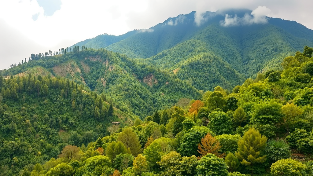
High in the mountains of Uttarakhand, where terraced fields climb steep slopes and trees shade crops of wheat, millet and mustard, an intricate partnership between people and forest has sustained Himalayan communities for generations. A new study published in the journal Discover Forests has now mapped this agroforestry landscape in unprecedented detail, combining satellite imagery, geographic information systems and artificial neural networks to answer two urgent questions: where can agroforestry expand in the Indian Himalaya, and how resilient will it remain as the climate changes? The findings offer both encouragement and warning, revealing vast opportunities for expansion alongside projections that small, fragmented agroforestry patches could shrink dramatically by mid-century.
The research team, led by Deepak Kumar Mishra of Doon University in Dehradun together with colleagues at ICAR-Central Agroforestry Research Institute, focused on Uttarakhand, a state spanning roughly 53,484 square kilometers of the Central Indian Himalaya. The terrain is extraordinarily demanding for both farming and mapping. Elevations range from about 200 meters in the foothills to 7,000 meters in the high Himalaya, and mean annual temperatures swing from 5 to 8 degrees Celsius in the high mountains to 24 to 26 degrees Celsius on the plains. More than 70 percent of annual rainfall arrives during the southwest monsoon between June and September, concentrated along the southern Himalayan slopes by orographic effects. These steep gradients create a mosaic of microclimates in which a single district can contain subtropical, temperate and alpine growing conditions within a few kilometers.
Mapping agroforestry in such terrain has long frustrated scientists. At the 30-meter resolution of Landsat 8 satellite imagery, the spectral signatures of mixed tree-crop plots blur into those of forests and open cropland, producing chronic classification errors. The team circumvented this problem with a hybrid discrimination strategy. They began with a modified Anderson Level I/II classification scheme, identifying ten land cover classes including forest, degraded forest, agriculture, fallow land, grassland, plantation, built-up areas, snow, wasteland and water bodies. Because agroforestry could not stand alone as a spectral class, the researchers identified agroforestry pixels embedded within agricultural and forest mosaics using a combination of indicators: intermediate vegetation greenness measured by the Normalized Difference Vegetation Index between 0.35 and 0.55, texture statistics derived from gray-level co-occurrence matrices, seasonal crop signatures beneath tree canopies, and topographic cues such as terraced slopes and proximity to settlements. Field surveys at 312 GPS-referenced locations and high-resolution Google Earth imagery validated the approach.
The classification itself used a supervised Gaussian Maximum Likelihood Classifier, a Bayesian method that models the variance and covariance structure of each land cover class, well suited to spectrally heterogeneous mountain landscapes. Validation against an independent reference dataset of 15,000 points yielded an overall accuracy of about 89 percent with a Kappa coefficient near 0.88, comfortably exceeding the 85 percent threshold recommended for land-use mapping in mountainous regions. The resulting map showed forests covering roughly 46 percent of the state, snow-covered highlands 18 percent, agriculture 13 percent and wastelands 7 percent. Crucially, it revealed that agroforestry systems occupy approximately 1,331.66 square kilometers across Uttarakhand, concentrated in the mid-elevation belt between 1,100 and 1,600 meters, on slopes of 20 to 30 degrees, and on south-facing aspects that receive the most solar radiation.
The biophysical patterns are strikingly consistent. Of the total agroforestry area, 489.46 square kilometers lies between 1,100 and 1,600 meters above sea level, followed by 290.30 square kilometers between 1,600 and 2,100 meters and 273.05 square kilometers below 600 meters. Slope analysis showed the greatest coverage on 20 to 30 degree gradients, while aspect analysis confirmed the dominance of south, southeast and southwest exposures. These variables control solar radiation, thermal regimes, soil moisture and erosion stability, all of which shape tree-crop interactions. The team’s field surveys documented the biological richness underlying these patterns: 105 multipurpose tree species and 82 crop species, including fodder trees such as Grewia optiva and Morus alba, fuelwood species like Quercus and Pinus roxburghii, fruit trees including Prunus armeniaca and Ziziphus mauritiana, and 60 ethnobotanically valuable medicinal plants. Species diversity declined consistently with elevation across all three agroforestry system types studied, from agrosilviculture to agrohorticulture to combined agrohortisilviculture.
Beyond describing the present landscape, the study identified enormous potential for expansion. Current fallow lands cover 1,031.92 square kilometers, degraded forests 2,072.24 square kilometers, and wastelands 4,013.15 square kilometers, a combined pool of roughly 7,117 square kilometers of land suitable for new agroforestry. To prioritize within this pool, the researchers applied a multi-criteria land suitability analysis following Food and Agriculture Organization principles, weighting seven criteria with the Analytic Hierarchy Process. Elevation received the highest weight at 22 percent, followed by slope, aspect and land availability at 19 percent each, with temperature, precipitation and soil depth at 7 percent each. The consistency ratio remained below the accepted threshold of 0.1, confirming reliable expert judgments. The weighted overlay identified 150.71 square kilometers as highly suitable, 525.33 square kilometers as moderately suitable and 607.22 square kilometers as least suitable, with the best zones characterized by mid-altitudes, moderate slopes, south-facing aspects, temperatures above 21.5 degrees Celsius and adequate rainfall.
The most technically ambitious component was the artificial neural network simulation. The team built a feedforward multilayer perceptron with nine input variables, altitude, slope, aspect, NDVI, soil type, soil depth, geographic area, mean annual temperature and mean annual precipitation, feeding a single hidden layer of two log-sigmoid neurons and one linear output node representing normalized agroforestry area. Training used the Levenberg-Marquardt back-propagation algorithm on 80 percent of the data, with 20 percent reserved for testing and tenfold cross-validation guarding against overfitting. The results were exceptional: a coefficient of determination of 0.98 on the training set and 0.94 on the unseen test data, indicating that the network captured the nonlinear interactions among terrain, climate and vegetation that conventional statistical models typically miss in mountain ecosystems. Connection weight analysis showed that geographic area, NDVI and slope were the most influential predictors of agroforestry extent.
The forward-looking simulation is where the study delivers its most sobering message. The researchers downscaled CMIP5 climate projections under the RCP 4.5 scenario, an intermediate stabilization pathway, from their native coarse resolution to 30 meters using ordinary kriging interpolation bias-corrected against India Meteorological Department observations from 1991 to 2020. The downscaling achieved a root mean square error of 1.33 degrees Celsius for temperature and 112 millimeters for precipitation. Feeding these mid-century, around 2050, climate surfaces into the trained network while holding all other variables constant, the model projected pronounced contractions in agroforestry distribution. Small patches under 5 square kilometers are projected to decline by 60 to 70 percent, while larger systems above 15 square kilometers face more moderate losses of 10 to 20 percent. The declines concentrate in mid-elevation zones and rain-fed regions where temperature stress and rainfall variability are expected to intensify, exposing the particular fragility of fragmented systems that lack the ecological buffering capacity of larger, contiguous tree-crop mosaics.
The implications reach well beyond academic mapping. The identified expansion zones align directly with India’s National Agroforestry Policy, which promotes tree-based systems on degraded land, and with the Green India Mission and the UN Decade on Ecosystem Restoration, both of which prioritize restoring degraded forest-agriculture interfaces. The authors argue that climate-adaptive strategies, including drought-resilient species portfolios, soil and water conservation structures, canopy layering and community-led agroforestry initiatives, will be essential to protect the livelihoods that these systems underpin. The stakes are considerable: a 2 degree Celsius temperature increase alone threatens substantial yield declines for a large share of the roughly 900 million people worldwide involved in agriculture. The study does acknowledge limitations, including the 30-meter resolution that cannot resolve narrow terraces or species-level detail, uncertainties inherent in climate downscaling, and the exclusion of socioeconomic drivers such as market access and land tenure. Still, by uniting remote sensing, multi-criteria evaluation and machine learning into a single spatially explicit framework, the research provides exactly the kind of decision-support evidence that Himalayan policymakers, watershed managers and farming communities will need as they work to keep trees, crops and livelihoods growing together on some of the world’s most demanding terrain.
Subject of Research: Spatial suitability and climate resilience of agroforestry systems in the Indian Himalaya of Uttarakhand assessed using remote sensing and artificial neural networks.
Article Title: Assessing spatial suitability and climate resilience of agroforestry systems in the Indian Himalaya of Uttarakhand using remote sensing and artificial neural networks
Article References: Mishra, D. K., Kumar, U., Arunachalam, K., & Arunachalam, A. (2026). Assessing spatial suitability and climate resilience of agroforestry systems in the Indian Himalaya of Uttarakhand using remote sensing and artificial neural networks. Discover Forests, 2(1), Article 68. https://doi.org/10.1007/s44415-026-00113-9
Image Credits: AI Generated
DOI: 10.1007/s44415-026-00113-9
Keywords: agroforestry, Uttarakhand, Indian Himalaya, remote sensing, artificial neural networks, land suitability, climate change, RCP 4.5, land use classification, Landsat 8, multi-criteria evaluation, climate resilience
Cite Scienmag News
Cassandra Pierce. (September 20, 2026). Neural Networks Map Himalayan Agroforestry and Reveal Climate Risks by 2050. Scienmag. https://scienmag.com/neural-networks-map-himalayan-agroforestry-and-reveal-climate-risks-by-2050/
Cassandra Pierce. "Neural Networks Map Himalayan Agroforestry and Reveal Climate Risks by 2050." Scienmag, 20 September 2026, https://scienmag.com/neural-networks-map-himalayan-agroforestry-and-reveal-climate-risks-by-2050/. Accessed 5 October 2026.
Cassandra Pierce. "Neural Networks Map Himalayan Agroforestry and Reveal Climate Risks by 2050." Scienmag. September 20, 2026. https://scienmag.com/neural-networks-map-himalayan-agroforestry-and-reveal-climate-risks-by-2050/


