In a groundbreaking study addressing one of the most pressing environmental challenges, researchers have unveiled new insights into the dynamics of soil erosion within the Bilate River catchment in Ethiopia. This region, representative of many vulnerable landscapes across the globe, is experiencing intense changes in land use and land cover, resulting in heightened soil degradation risks. By deploying innovative spatio-temporal modeling techniques, the study illuminates how these shifts are intricately linked to the evolving patterns of soil erosion, heralding a critical advance in our ability to predict and manage land degradation processes.
Soil erosion stands as a formidable threat to both agricultural productivity and ecosystem balance, especially in regions where livelihoods heavily depend on the productive capacity of the land. Ethiopia, known for its diverse topography and variable climate, exemplifies many of the conditions that accelerate erosion: deforestation, agricultural expansion, and urbanization. The Bilate River catchment, a microcosm of these pressures, has suffered substantial erosion, which not only undermines food security but also degrades water quality downstream. Understanding the spatial and temporal dynamics of this phenomenon is vital for informed policy and targeted remediation strategies.
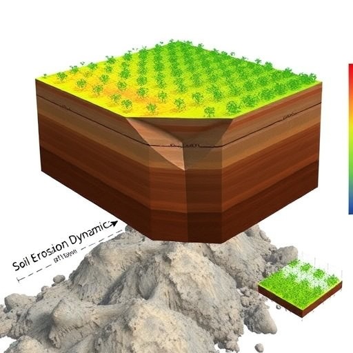
Harnessing the power of spatio-temporal modeling allows for a nuanced examination of soil erosion that transcends traditional static assessments. This technique integrates both spatial heterogeneity and temporal variability, capturing how erosion processes evolve across landscapes and over time in response to fluctuating land use practices. By employing geographic information systems (GIS), remote sensing data, and advanced computational algorithms, the researchers have generated detailed maps that depict erosion hotspots and trends, offering a predictive framework that is both robust and scalable.
The study’s methodology intricately combines high-resolution satellite imagery with ground-based observations, ensuring data reliability and richness. Remote sensing platforms contribute time-series data that track land cover transformations over several years, while field validation ensures that the modeling outputs correlate strongly with observed erosion patterns. This synergy between technology and fieldwork exemplifies the rigor required to tackle complex environmental problems and demonstrates the increasing relevance of interdisciplinary approaches in earth sciences.
Key findings highlight that land use intensification, particularly the conversion of forested areas into cropland and grazing pastures, significantly escalates soil erosion rates. The model reveals that regions undergoing rapid agricultural expansion exhibit up to a threefold increase in sediment detachment and transport compared to more stable land covers. This alarming rate threatens to exhaust soil nutrients, disrupt hydrological regimes, and diminish water retention capacity, ultimately triggering feedback loops that exacerbate land degradation and environmental vulnerability.
Temporal analysis unveils critical periods during which erosion peaks, often correlating with seasonal rainfall patterns and land management cycles. The study identifies the rainy seasons as windows of heightened erosion risk, particularly when combined with land cover disturbances. This temporal nuance provides actionable intelligence for policymakers and land managers, suggesting when and where to prioritize soil conservation efforts to maximize effectiveness.
Moreover, the spatial distribution of erosion risks is not homogenous. Variations in slope gradient, soil type, and land cover intersect to create erosion mosaics that demand location-specific interventions. The catchment’s steep slopes, coupled with exposed soils due to deforestation, emerge as the most susceptible zones, underscoring the need for terrain-adapted conservation practices like terracing, afforestation, and controlled grazing.
Importantly, the study contextualizes the erosion dynamics within broader socioeconomic frameworks. Rapid population growth and shifting agricultural demands amplify land use pressures, often leading to unsustainable exploitation without adequate soil conservation investments. The interplay between human activities and natural processes becomes starkly apparent, emphasizing that successful erosion mitigation requires integrated approaches that address both environmental conditions and socio-economic drivers.
The novel spatio-temporal model also serves as a decision-support tool, enabling scenario simulations that project future erosion trajectories under varying land use policies and climate change scenarios. This predictive capability empowers stakeholders to evaluate potential outcomes of land management strategies before implementation, fostering adaptive governance that can pivot based on evolving environmental and societal contexts.
Researchers advocate for the integration of this modeling framework into national and regional land use planning, where it can inform zoning regulations, environmental impact assessments, and restoration initiatives. By aligning scientific evidence with policy instruments, Ethiopia can initiate more effective soil conservation programs that safeguard agricultural productivity and ecosystem services.
Furthermore, the methods and insights from this study hold global significance, particularly for other regions grappling with similar pressures from land conversion and climate variability. The scalable nature of the spatio-temporal approach allows it to be adapted to diverse environmental settings, promoting broader applications in sustainable land management and erosion control worldwide.
A key takeaway from this research is the critical importance of long-term monitoring and data collection. Continuous observation not only refines model accuracy but also enables early warning systems for erosion risk, facilitating proactive interventions. Investment in earth observation technologies and capacity building at local levels becomes paramount to sustaining these efforts.
This pioneering work underlines the urgent need to balance development and conservation, showcasing how advanced spatial modeling can illuminate complex ecological phenomena at the intersection of natural and human systems. It is a clarion call for integrated, science-driven policies that protect the land while supporting communities dependent on its resources.
In conclusion, the spatio-temporal modeling of soil erosion in the Bilate River catchment represents a leap forward in understanding and managing land degradation. Through the fusion of cutting-edge technology, empirical research, and socio-economic considerations, the study offers a comprehensive blueprint for tackling one of the most insidious environmental threats in Ethiopia and beyond. Its implications for sustainable land use and environmental resilience mark a pivotal contribution to the global pursuit of ecological sustainability.
Subject of Research: Soil erosion dynamics influenced by land use and land cover changes in the Bilate River catchment, Ethiopia.
Article Title: Spatio-temporal modeling of soil erosion dynamics under land use and land cover changes in the Bilate River catchment, Ethiopia.
Article References:
Alemu, M.D., Aweke, A., Van Tol, J. et al. Spatio-temporal modeling of soil erosion dynamics under land use and land cover changes in the Bilate River catchment, Ethiopia. Environ Earth Sci 85, 3 (2026). https://doi.org/10.1007/s12665-025-12709-z
Image Credits: AI Generated
