A groundbreaking new study is challenging long-held assumptions about the migratory distances of marine animals, revealing that whales—and potentially other oceanic species—are traveling significantly farther than previously believed. Published recently in the prestigious journal Ecology, the research exposes critical blind spots in traditional tracking methodologies that have thus far underestimated animal movement by as much as 20 percent. By incorporating the Earth’s curvature and the animals’ three-dimensional movement patterns, this study pioneers a more accurate framework for assessing the true spatial extent of marine animal migrations.
Marine biologists and movement ecologists have long depended on surface tracking data, using GPS and satellite tags to plot whale trajectories across the globe. These methods, however, have largely been based on two-dimensional projections of animal paths that neglect vertical movement. Given that marine animals dive and ascend through the water column during migration and daily activities, these simplistic planar maps fail to capture the full complexity of their dispersal. The new research team, which includes Griffith University’s Dr. Olaf Meynecke, embarked on a quest to bridge this dimensional gap using geodesy—the science that models Earth’s geometric shape—and cutting-edge spatial analysis.
The key insight centers on the realization that the Earth’s spherical surface, combined with the underwater vertical movements of whales, amplifies the total distance an animal travels during migration. While traditional methods measure straight-line distances across the ocean surface—effectively flattening the marine environment—this approach ignores the dips and rises in the animals’ paths. By marrying satellite telemetry with mathematical models that factor in both Earth’s curvature and observed whale diving behaviors, the team derived a more robust, three-dimensional geodesic distance that better reflects ecological realities.
Utilizing one of the most comprehensive humpback whale tracking datasets available—from the Whales & Climate Program—the researchers analyzed a continuous migration path spanning Ecuador’s breeding grounds to Antarctica’s feeding zones. This migration path, previously estimated at approximately 6,658 kilometers using surface metrics, was recalculated incorporating average dive depths and speed recorded by satellite-tagged whales. The recalibrated three-dimensional distance revealed an astonishing additional 1,055 kilometers—a 16% increase—thus showcasing the substantial underestimation in standard tracking measurements.
Dr. Meynecke emphasizes the relevance of these findings beyond mere distance corrections. “For humpback whales migrating annually between South American breeding and Antarctic feeding grounds, the realization that they may travel as much as 14,000 kilometers within a single season underscores the immense energetic demands placed on these animals,” he explains. Such distances are about seven times the average annual travel distances of most humans, highlighting the extraordinary endurance and adaptability of these marine mammals.
Beyond the biological intrigue, these revisions have profound ecological implications. Increased travel distances imply greater energy expenditure, which cascades into complex consequences for whale physiology, reproduction, and survival. The traditional, underestimated distances may have led researchers and conservationists to miscalculate energy budgets and the ecological costs of migratory behavior. This miscalculation can produce gaps in our understanding of how whales—and other large marine fauna—respond to environmental stressors such as climate change, habitat degradation, and shifts in prey availability.
The study’s multidisciplinary team, with contributors from the University of Connecticut, the Smithsonian Institution, and the Pontificia Universidad Católica del Ecuador, championed a holistic approach that integrates geospatial science, marine biology, and computational modeling. This collaboration allowed the examination of not just horizontal movements, but vertical domain data, coupling biologging techniques with geodesic principles to quantify real-world movement in a planetary context. By challenging the conventional two-dimensional assumptions, their methodology sets a new precedent for future animal movement research and resource management.
Their approach also suggests that other marine animals—ranging from sea turtles to various fish species—may experience similar underestimations in their movement metrics. Since many aquatic creatures utilize the full spectrum of water column depths for foraging, navigation, and escape behaviors, accurate three-dimensional tracking is poised to redefine our comprehension of marine ecology broadly. This insight calls for the deployment of enhanced biologging devices capable of capturing depth profiles alongside GPS coordinates to feed into more comprehensive movement models.
Moreover, the research highlights the significance of geodesy within ecological studies. Earth’s complex shape—an oblate spheroid rather than a perfect sphere—has subtle but meaningful impacts on distance calculations when scaled to migratory ranges spanning thousands of kilometers. Factoring in geodesic distances ensures that distance-related metrics, such as migration speed, range, and habitat utilization, are rooted in rigorous spatial representations that honor the planet’s geometry rather than relying on planar projections.
The findings also advocate a reassessment of conservation strategies based on movement ecology. Marine protected areas, for example, are often delineated in relation to animal movement corridors and habitat hotspots determined from surface-based tracking data. If such data systematically undershoot the true scope of animal movement, conservation zones and management interventions risk being insufficient in spatial coverage, potentially leaving critical migratory paths unshielded. Incorporating three-dimensional movement data could thus refine the spatial design of conservation initiatives, enhancing their effectiveness.
Looking ahead, the study signals a call to the broader scientific community to revisit existing datasets with this new analytical framework. Many long-term tracking efforts stand to benefit from retrofitting their analyses to incorporate vertical movement and geodesic corrections. Doing so may illuminate unrecognized behavioral patterns, migration energetics, and ecological linkages, enriching the collective understanding of marine species’ life histories and responses to environmental variability.
Ultimately, this research compels ecologists to embrace complexity in movement modeling. The ocean, far from being a flat expanse, presents a dynamic three-dimensional frontier that animals traverse in ways we are only beginning to fully appreciate. As technology evolves and interdisciplinary methods converge, capturing this intricacy will be paramount for accurate ecological characterizations, effective conservation, and informed stewardship of oceanic life. With wretched environmental challenges looming large, such advances provide vital tools for safeguarding biodiversity in a changing world.
The study titled “Accounting for Earth’s curvature and elevation in animal movement modeling” has been published in Ecology, offering a crucial advancement in movement ecology and marine biology. It underscores how rethinking spatial scales and integrating physical geography enhances our insights into animal behavior and ecosystem dynamics, opening pathways for more precise and impactful scientific inquiry.
Subject of Research: Marine animal movement and migration distances, specifically correcting traditional measurement underestimations through three-dimensional geodesic modeling.
Article Title: Accounting for Earth’s curvature and elevation in animal movement modeling
Web References:
- https://esajournals.onlinelibrary.wiley.com/doi/full/10.1002/ecy.70167
- http://dx.doi.org/10.1002/ecy.70167
References: Published in Ecology, DOI: 10.1002/ecy.70167
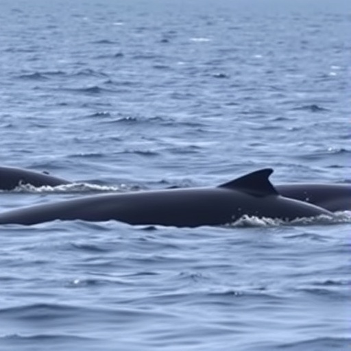
Image Credits: Olaf Meynecke
Keywords: whale migration, animal movement ecology, geodesy, three-dimensional tracking, marine biology, satellite telemetry, humpback whales, migration distance, energy expenditure, ecological modeling, conservation planning, oceanic animal movement
