


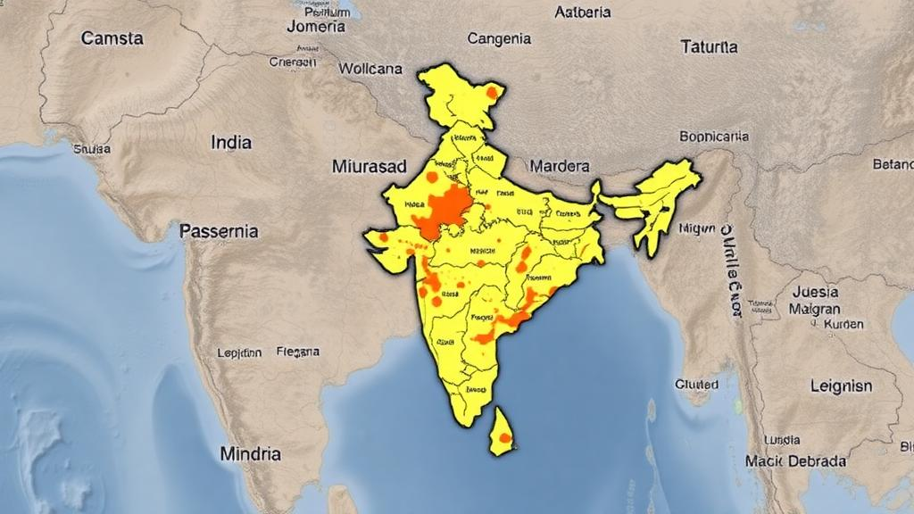
In the rolling agricultural landscape of Rarh Bengal, where the eastern edge of the Chotanagpur plateau meets the alluvial plains of eastern India, a new study has produced one of the most detailed spatial portraits yet of how rural development is distributed across a genuinely rural corner of the country. Researchers from the University of Kalyani and Hiralal Bhakat College examined the Rampurhat subdivision of West Bengal’s Birbhum district, a region where more than 90 percent of the land is classified as rural, and applied a rigorous geospatial modelling framework to measure exactly which village councils are thriving and which are being left behind. Their findings, published in SN Social Sciences, reveal a striking patchwork: pockets of prosperity clustered around a famous temple town, and a belt of near-neglect along the plateau margins.
The study is anchored in Mission Antyodaya, the Indian government’s nationwide rural survey programme designed to aggregate village-level data on infrastructure and services in support of poverty-free gram panchayats. Rather than relying on anecdote or single indicators, the researchers built a composite model from 15 distinct parameters drawn from the survey: paved roads, anganwadi childcare centres, drainage facilities, higher secondary schools, high schools, primary schools, telephone connectivity, markets, the public distribution system, electricity, common service centres, all-weather road connections, automated teller machines, banks, and public transport. Each of these parameters captures a different dimension of what makes a village functionally developed, from the ability to get produce to market to whether children can pursue education beyond the primary level without leaving home.
To combine these indicators into a single, defensible measure, the team turned to the Analytic Hierarchy Process, a structured decision-making technique introduced by mathematician Thomas Saaty in 1980. AHP works by breaking a complex problem into a hierarchy of criteria, then eliciting pairwise comparisons that assign relative weights to each factor. In this case, the 15 infrastructure parameters were weighted according to their contribution to overall rural development, and the weighted scores were aggregated for every panchayat in the subdivision. The result is a continuous development index that can be mapped, classified, and statistically interrogated, converting a sprawling table of survey responses into a spatially explicit picture of advantage and deprivation.
A crucial strength of the study lies in its validation. The researchers tested their model using the Receiver Operating Characteristic curve, a statistical tool borrowed from diagnostic medicine and machine learning that plots the true positive rate against the false positive rate across all possible classification thresholds. The area under the ROC curve came out at 85 percent, a level generally interpreted as indicating good discriminatory power. In practical terms, this means the model’s classification of villages into development categories is far more reliable than chance, giving policymakers a quantitative reason to trust the resulting maps rather than treating them as illustrative sketches.
The spatial results are revealing. According to the AHP model, only 6.36 percent of the study area falls into the highest development category, with a further 26.6 percent classified as high development. At the other end of the spectrum, 22 percent of the area falls into the low development zone and 17.4 percent into the very low category. Taken together, nearly four in ten hectares of this predominantly rural subdivision sit in the two most deprived classes, a distribution that underscores how unevenly India’s rural infrastructure investments have landed even within a single administrative subdivision.
Geography explains much of the pattern. The panchayats surrounding Tarapith, one of Bengal’s most important religious centres and a magnet for pilgrims, have experienced significant development, which the authors attribute to the economic potential generated by religious tourism. Temples draw visitors, visitors demand roads, hotels, banking, markets, and transport, and the resulting service ecosystem lifts the surrounding villages’ infrastructure scores. It is a textbook example of how a single node of economic activity can radiate development outward into its rural hinterland, and it suggests that tourism-linked investment can be a genuine engine of rural transformation when the conditions are right.
The contrast at the other extreme is equally instructive. Panchayats along the borders of the Chotanagpur plateau, where the terrain rises into the rugged, forested margins that separate the Bengal plains from the Deccan, show minimal to negligible development. These remote and inaccessible locations suffer a compounding disadvantage: difficult terrain raises the cost of building roads and extending utilities, poor connectivity then deters banks, markets, and transport operators from establishing services, and the absence of services in turn deepens isolation. The study’s maps make this feedback loop visible, offering planners a precise target list of where interventions are most urgently needed.
Beyond the composite index, the researchers deployed factor analysis, a multivariate statistical technique that identifies hidden dimensions underlying a set of observed variables. The first factor extracted from the data loaded heavily on fundamental infrastructure: the road network, school education, anganwadi centres, and electricity supply. This is a meaningful analytical finding, because it suggests that these basic services travel together as a coherent package, and that they constitute the dominant axis along which villages differ. In other words, the single most important thing separating developed from underdeveloped panchayats in Rampurhat is not any one amenity but the presence or absence of this foundational cluster of connectivity, education, childcare, and power.
The implications extend well beyond one subdivision. India’s economy remains fundamentally shaped by its agrarian society, and the country’s growth trajectory depends substantially on how its rural areas develop. Evidence-based mapping of this kind speaks directly to persistent national challenges: tackling poverty, raising agricultural productivity, improving rural infrastructure and services, promoting sustainable resource management, strengthening governance, and fostering social inclusion. Because Mission Antyodaya data covers the entire country, the AHP-plus-validation framework developed here is potentially replicable at scale, giving district and state planners a standardised method for identifying which gram panchayats need investment first and which parameters matter most in each locality.
What makes the study particularly timely is the growing global recognition, echoed in recent World Bank and OECD rural development reports, that infrastructure is not a uniform lever but a spatially differentiated one. Roads alone do not create development, as economic research on India’s rural roads programme has shown, but the right bundle of services in the right place can. By quantifying that bundle, validating the measurement, and locating the gaps with map-level precision, this research offers a template for turning the vast streams of village survey data that India now collects into actionable intelligence, and a reminder that the distance between a thriving temple town and a neglected plateau hamlet can be measured, mapped, and, in principle, closed.
Subject of Research: Spatial assessment of rural development using Mission Antyodaya data and the Analytic Hierarchy Process in Rampurhat subdivision, Birbhum district, West Bengal, India
Article Title: Empowering villages: a study on rural development through Mission Antyodaya in a part of Rarh Bengal, Eastern India
Article References: Das, S., Khatun, S., & Das, N. (2026). Empowering villages: a study on rural development through Mission Antyodaya in a part of Rarh Bengal, Eastern India. SN Social Sciences, 6(9), Article 428. https://doi.org/10.1007/s43545-026-01703-2
Image Credits: AI Generated
DOI: 10.1007/s43545-026-01703-2
Keywords: rural development, Mission Antyodaya, Analytic Hierarchy Process, ROC curve, geospatial analysis, West Bengal, Rarh Bengal, Birbhum district, factor analysis, rural infrastructure, panchayat, India
Cite Scienmag News
Courtney Benton. (October 10, 2026). Mapping Rural India’s Development Divide: New Model Pinpoints Village Hotspots and Blind Spots. Scienmag. https://scienmag.com/mapping-rural-indias-development-divide-new-model-pinpoints-village-hotspots-and-blind-spots/
Courtney Benton. "Mapping Rural India’s Development Divide: New Model Pinpoints Village Hotspots and Blind Spots." Scienmag, 10 October 2026, https://scienmag.com/mapping-rural-indias-development-divide-new-model-pinpoints-village-hotspots-and-blind-spots/. Accessed 10 October 2026.
Courtney Benton. "Mapping Rural India’s Development Divide: New Model Pinpoints Village Hotspots and Blind Spots." Scienmag. October 10, 2026. https://scienmag.com/mapping-rural-indias-development-divide-new-model-pinpoints-village-hotspots-and-blind-spots/


