

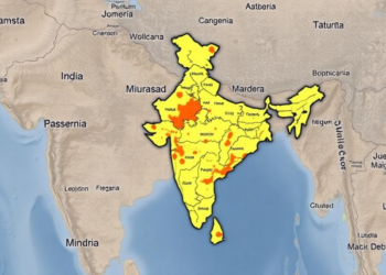
Mapping Rural India’s Development Divide: New Model Pinpoints Village Hotspots and Blind Spots
A new geospatial study of West Bengal's Rampurhat subdivision uses Mission Antyodaya data, the Analytic Hierarchy Process, and ROC validation ...
A new geospatial study of West Bengal's Rampurhat subdivision uses Mission Antyodaya data, the Analytic Hierarchy Process, and ROC validation ...


Embark on a thrilling journey of discovery with Scienmag.com—your ultimate source for cutting-edge breakthroughs. Immerse yourself in a world where curiosity knows no limits and tomorrow’s possibilities become today’s reality!